Monthly Averages of GOES-17 Brightness Temperatures for Bands 8, 10, and 13
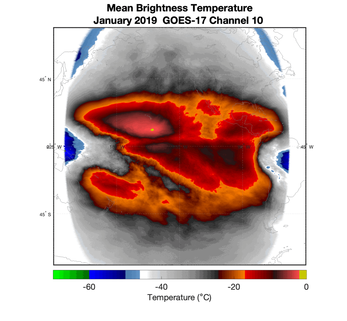
Monthly means of full disk GOES-17 brightness temperatures1 for Bands 8, 10, and 13 have been computed from 2019 to 2021, totaling 36 months. This is an expansion of similar work that had been done for Band 13 for a single year. Band 8, centered on... Read More
