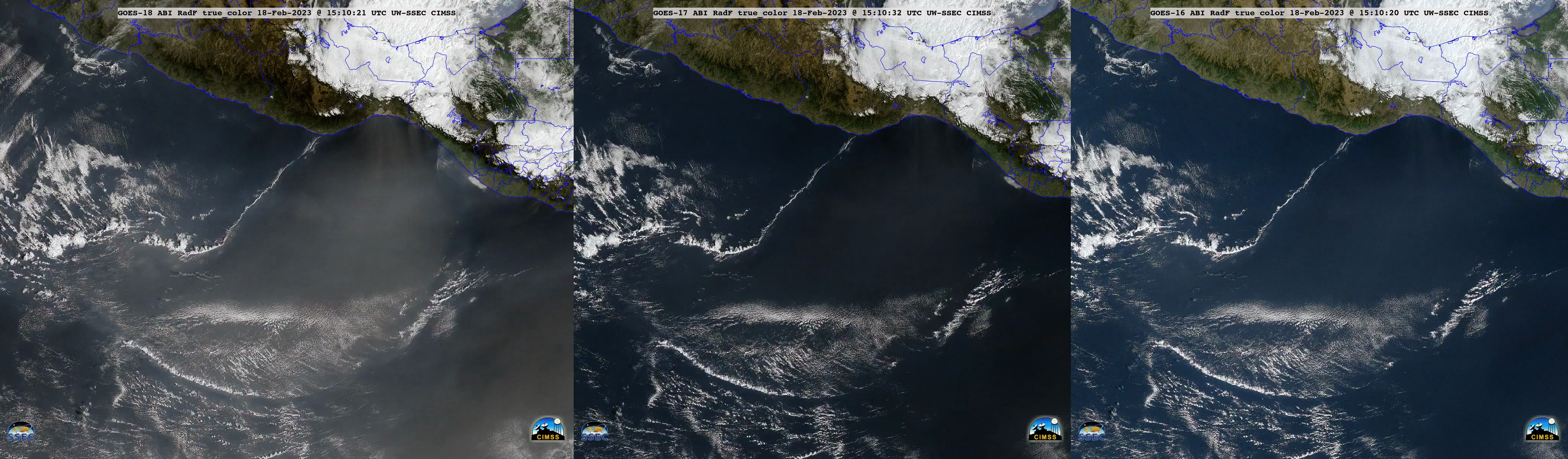
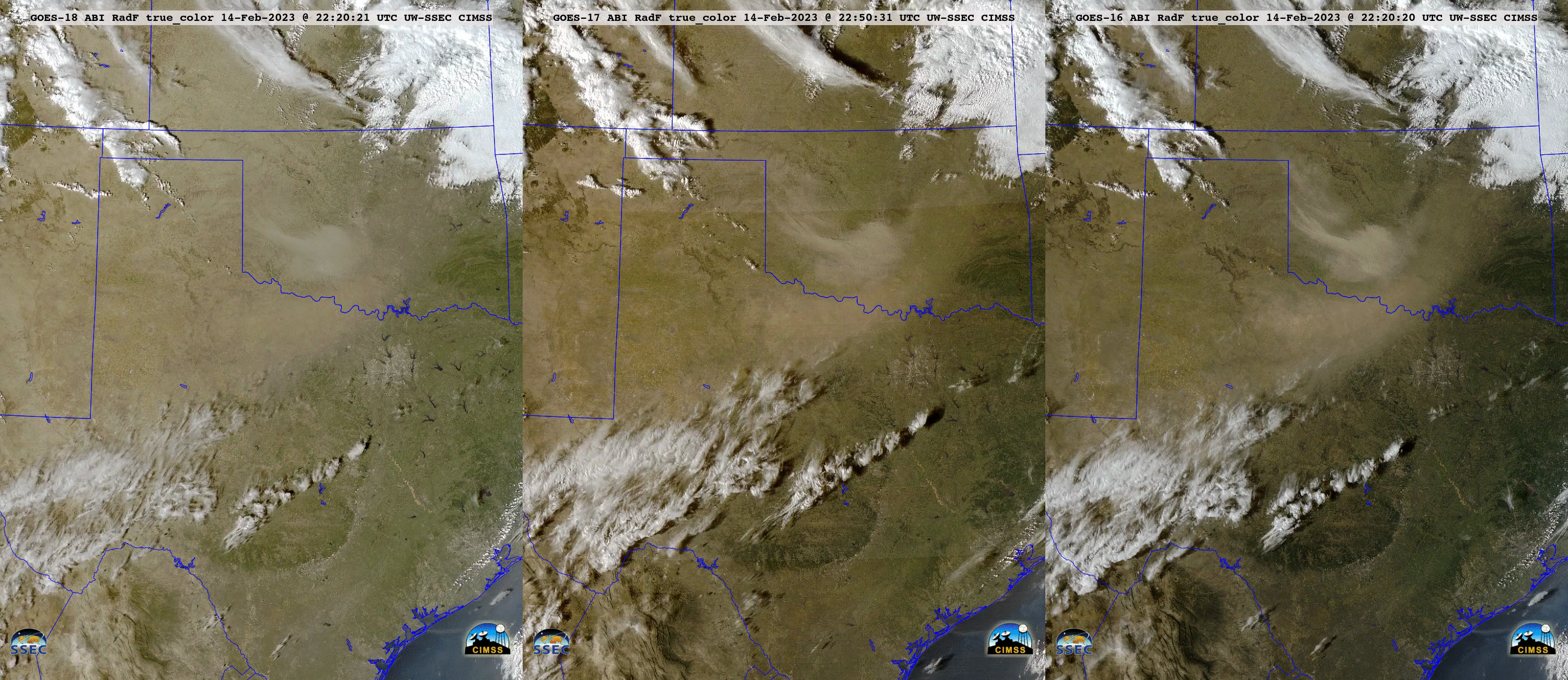
Blowing dust in New Mexico, Texas and Oklahoma
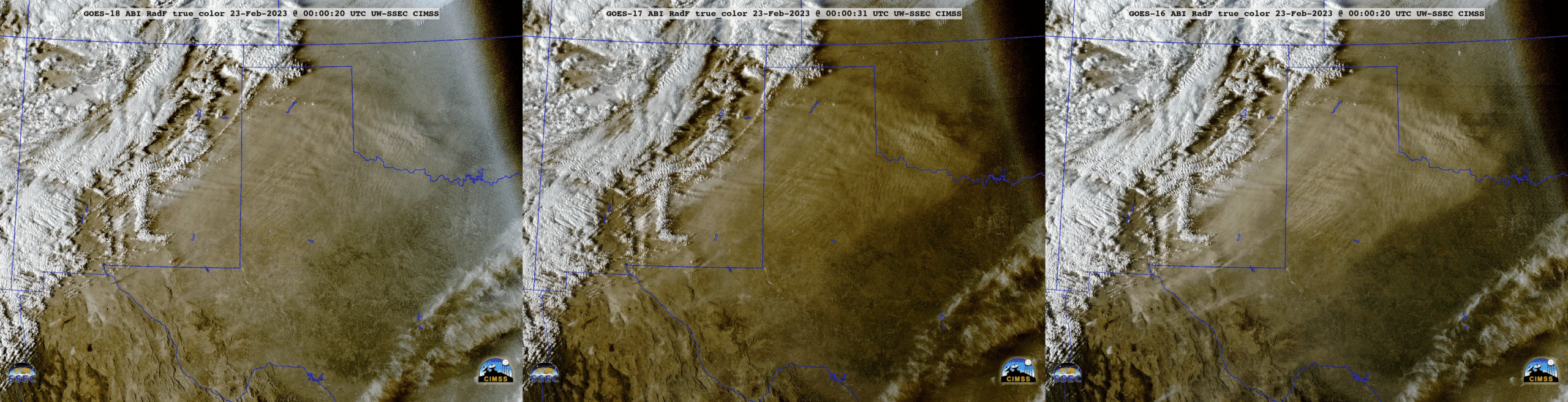
GOES-16 (GOES-East) “Red” Visible (0.64 µm) images (above) showed strong southwesterly winds ahead of an approaching cold front, causing areas of blowing dust across parts of New Mexico, Texas and Oklahoma on 22 February 2023. Strongest wind gusts were in the 60-70 mph range, and blowing dust was reducing the surface visibility to... Read More