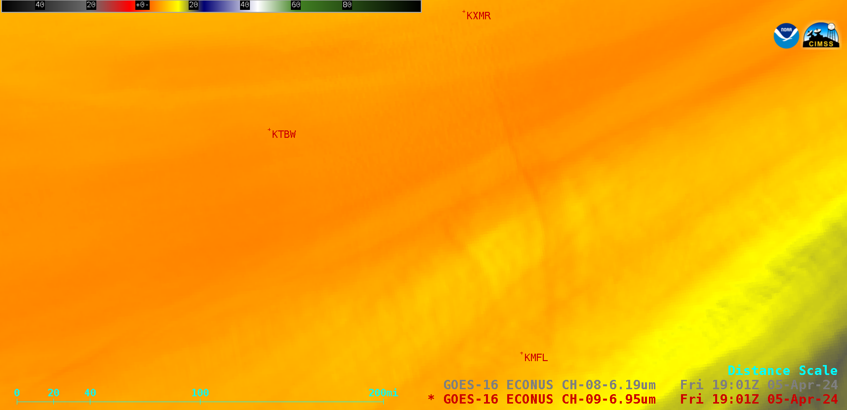
This website works best with a newer web browser such as Chrome, Firefox, Safari or Microsoft Edge. Internet Explorer is not supported by this website.

Category: GOES-16

Turbulence over New England caused by Lee

Hurricane Lee, moving northward off the east coast of the United States, is generating a large cirrus shield (see the ABI Band 4 image below) at high levels over New England, as also shown in the Air mass RGB shown above. The corrugated features in the cirrus are well-known predictors... Read More

Lee intensifies to a Category 1 Hurricane, while Jova intensifies to Category 5 (Update: Lee also reaches Category 5)

1-minute Mesoscale Domain Sector GOES-16 (GOES-East) “Red” Visible (0.64 µm) and “Clean” Infrared Window (10.3 µm) images (above) showed Lee as it intensified to become a Category 1 Hurricane in the Central Atlantic Ocean on 06 September 2023. The coldest cloud-top infrared brightness temperatures were around -90C (brighter white pixels embedded within darker black areas). Lee had... Read More