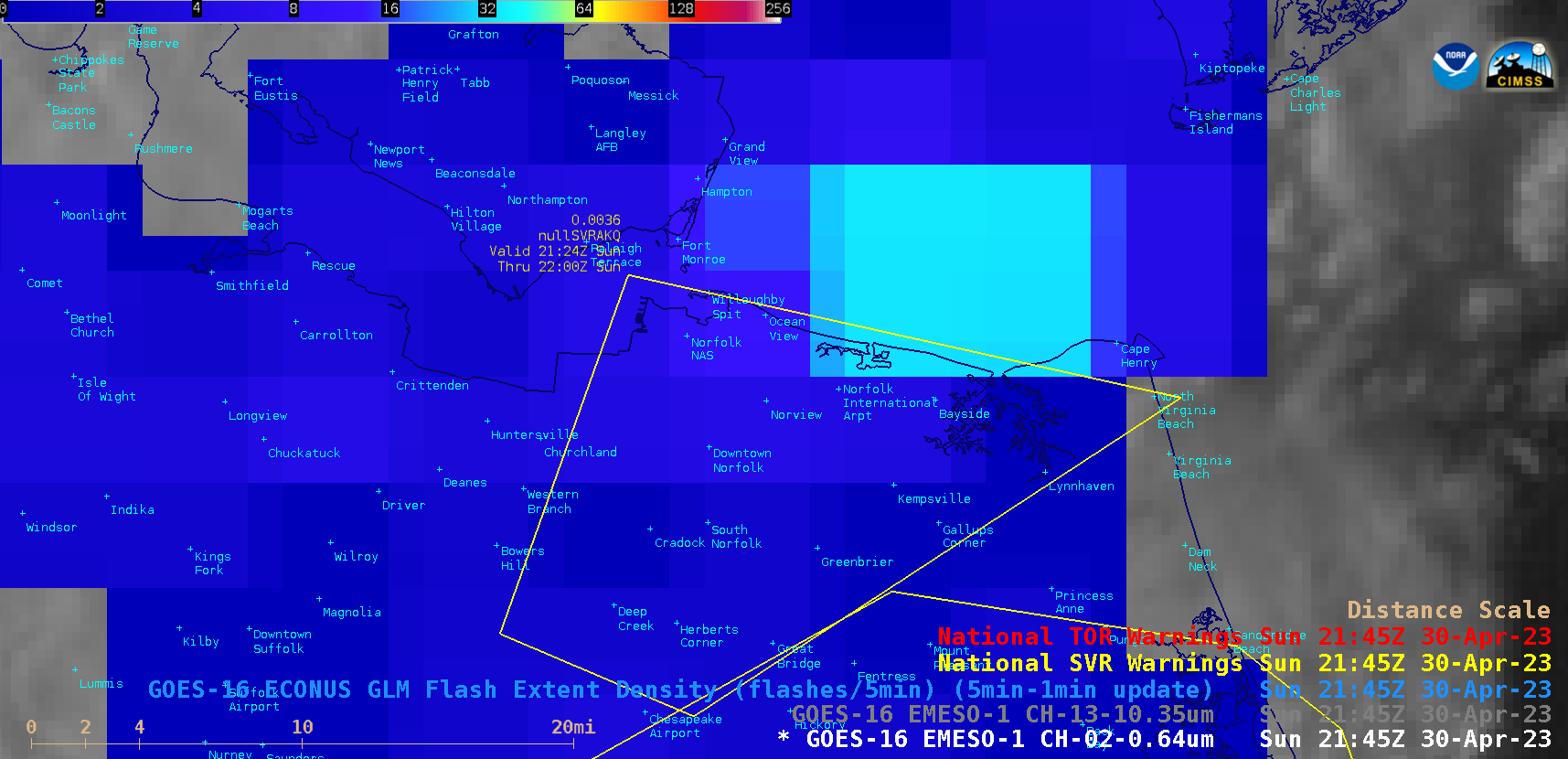
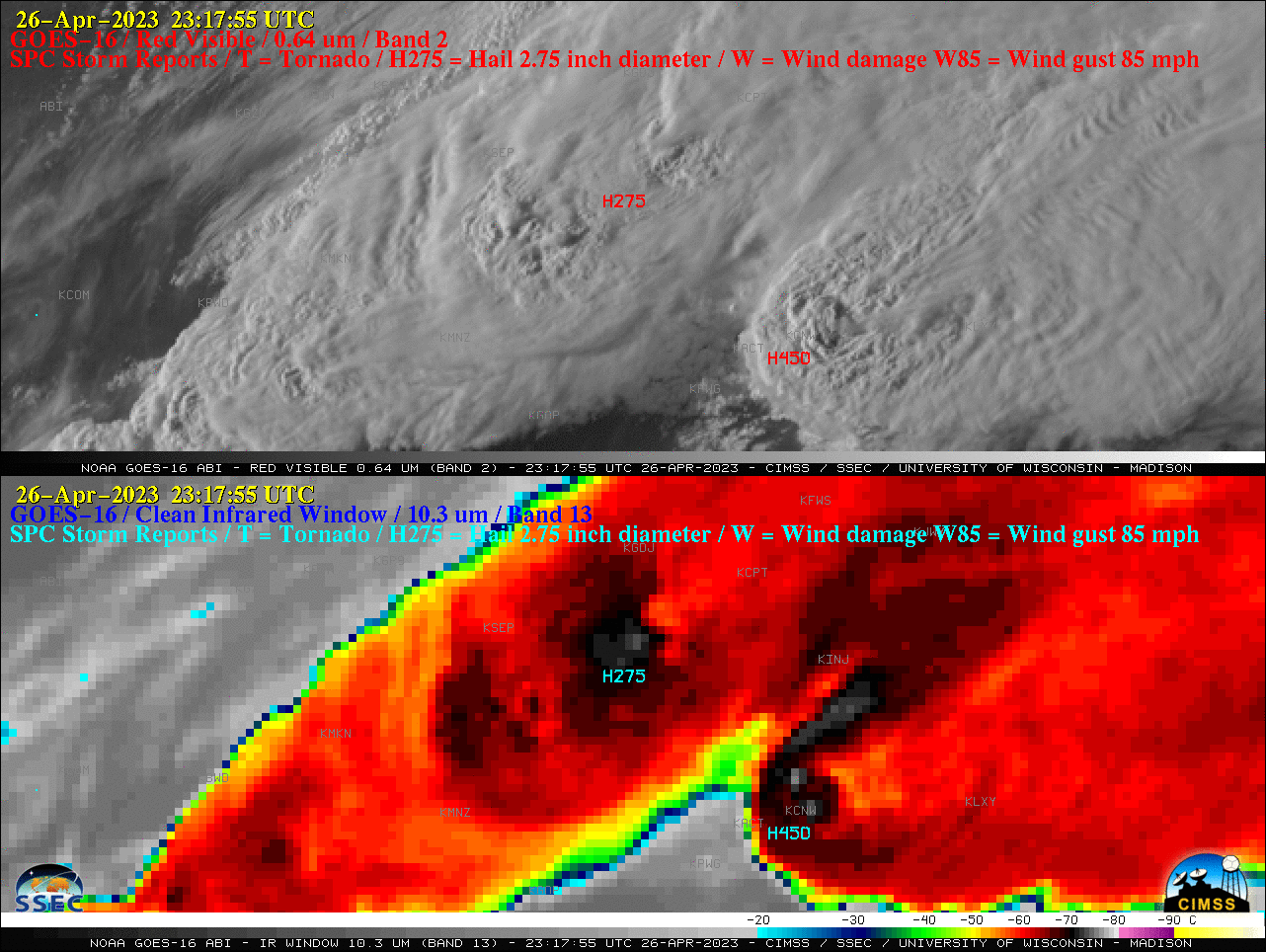
Severe thunderstorms in Missouri and Nebraska
1-minute Mesoscale Domain Sector GOES-16 (GOES-East) “Red” Visible (0.64 µm) and “Clean” Infrared Window (10.3 µm) images (above) showed an isolated supercell thunderstorm that produced a few tornadoes and hail as large as 4.00″ in diameter (SPC Storm Reports) across northern Missouri late in the day on 06 May 2023. Pulses of overshooting tops exhibited infrared brightness temperatures of -70ºC or colder (brighter... Read More