GOES Mesoscale Requests for April 8th
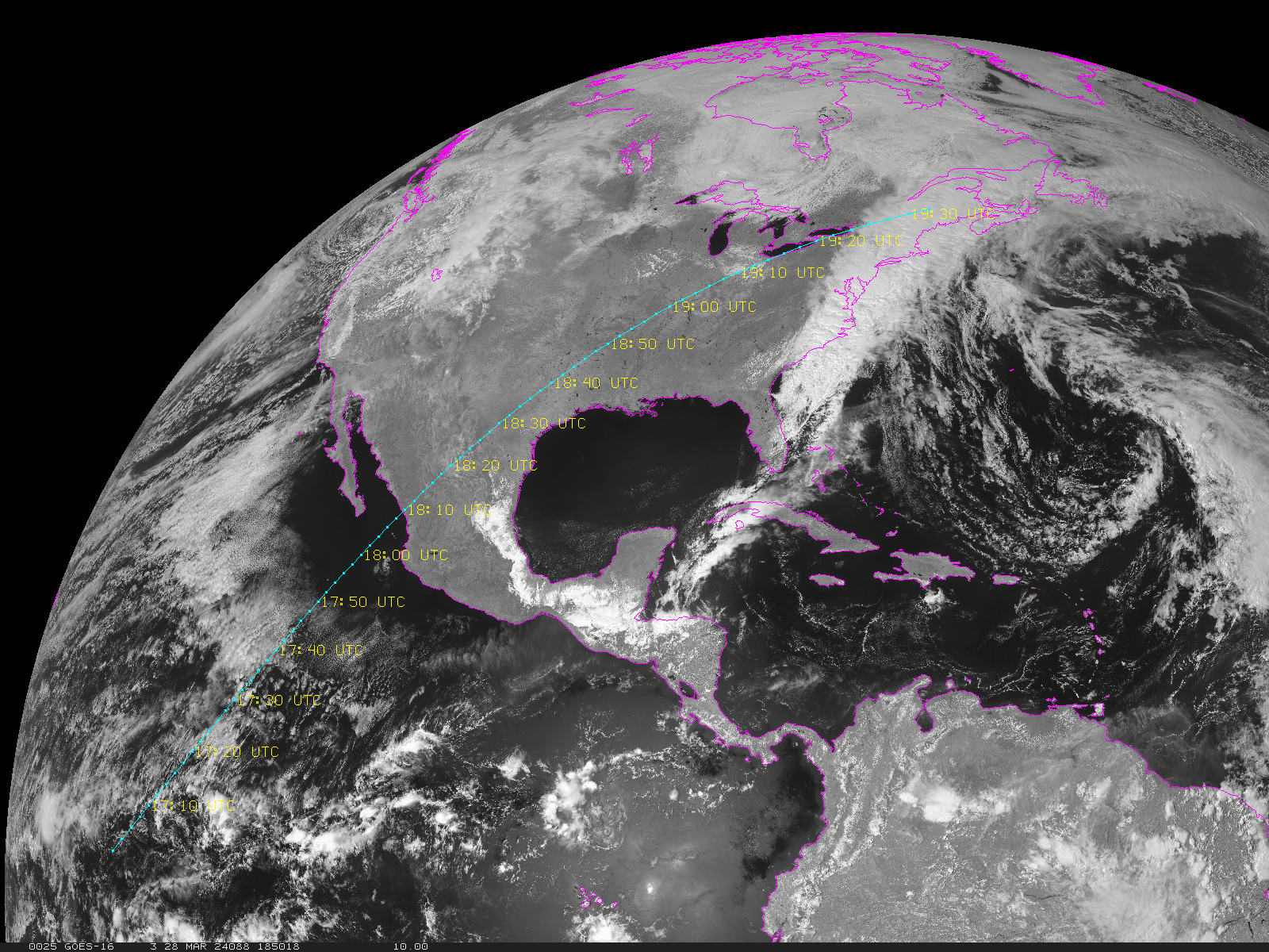
While the view of the Sun from the ground may, or may not be, affected by clouds during the eclipse on April 8th, the view of the Moon’s shadow on the Earth will be viewed from NOAA‘s GOES ABI. There will be imagery every 10 min from the Full Disk sectors, and 5 min from the Contiguous U.S. (CONUS) sector. There will be... Read More
