What the heck is this?
We received the following in an email message from Paul Fuentes at the National Weather Service forecast office at Key West, Florida:
“Just though you might be interested in a peculiar little feature we noticed at the WFO Key West on AWIPS from GOES-13 IR imagery on 4/23/11 starting at about 22:301Z over Andros Island (24.21N, 77.7W) and persisted to into the afternoon on 4/24/11. The feature looked almost like a smoke ring (several miles across) that was drifting off to the Northeast that emanated off of Andros Island and was also apparent in VIS/WV.”
McIDAS images of 4-km resolution GOES-13 6.5 µm “water vapor channel” data (above) showed the feature in question, as it first appeared along the east coast of Andros Island (the large island in the lower left corner of the images) at 22:45 UTC on 24 April 2011 — and then propagated northeastward, grew in size, exhibited progressively colder brightness temperatures, and at times took on a ring-like shape.
A closer look using 1-km resolution GOES-13 0.63 µm visible channel images (below) again revealed the ring-like structure that was evident at various times during the day on 25 April 2011.
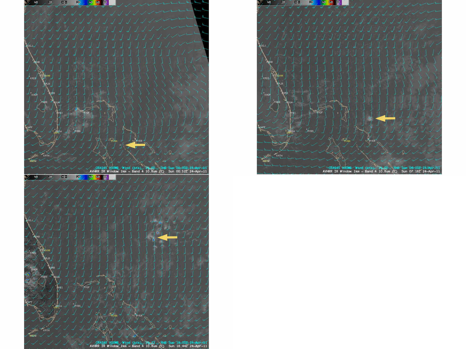
The feature (as seen on 10.8 µm POES AVHRR IR imagery, below) seemed to follow the CRAS model 300 hPa wind flow — and southwesterly winds were not found until the 375 hPa pressure level on the 12 UTC rawinsonde report from Nassau in the Bahamas.
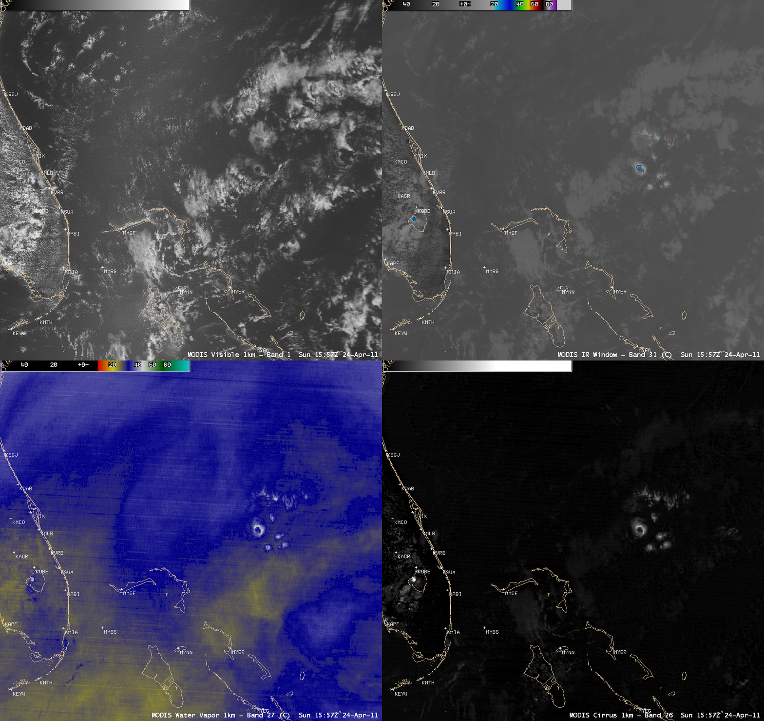
A comparison of the MODIS 0.65 µm visible channel, the 11.0 µm IR window channel, the 6.7 µm water vapor channel, and the 1.3 µm cirrus detection channel images at 15:57 UTC (below) seem to support the idea that this was a high ice cloud feature.
So what exactly was this interesting satellite feature? Until an explanation is found, this blog posting shall remain in the “What the heck is this?” Category…


