Wildfires in Texas
Large wildfires continued to burn out of control across much of Texas on 15 April 2010. McIDAS images of GOES-13 0.63 µm visible channel data (above; click image to play animation) showed the growth of a number of very long smoke plumes which were fanned out by strong northerly and northwesterly winds in the wake of a cold frontal passage. The GOES-13 satellite had been placed into Rapid Scan Operations (RSO), providing images as frequently as every 5-10 minutes.
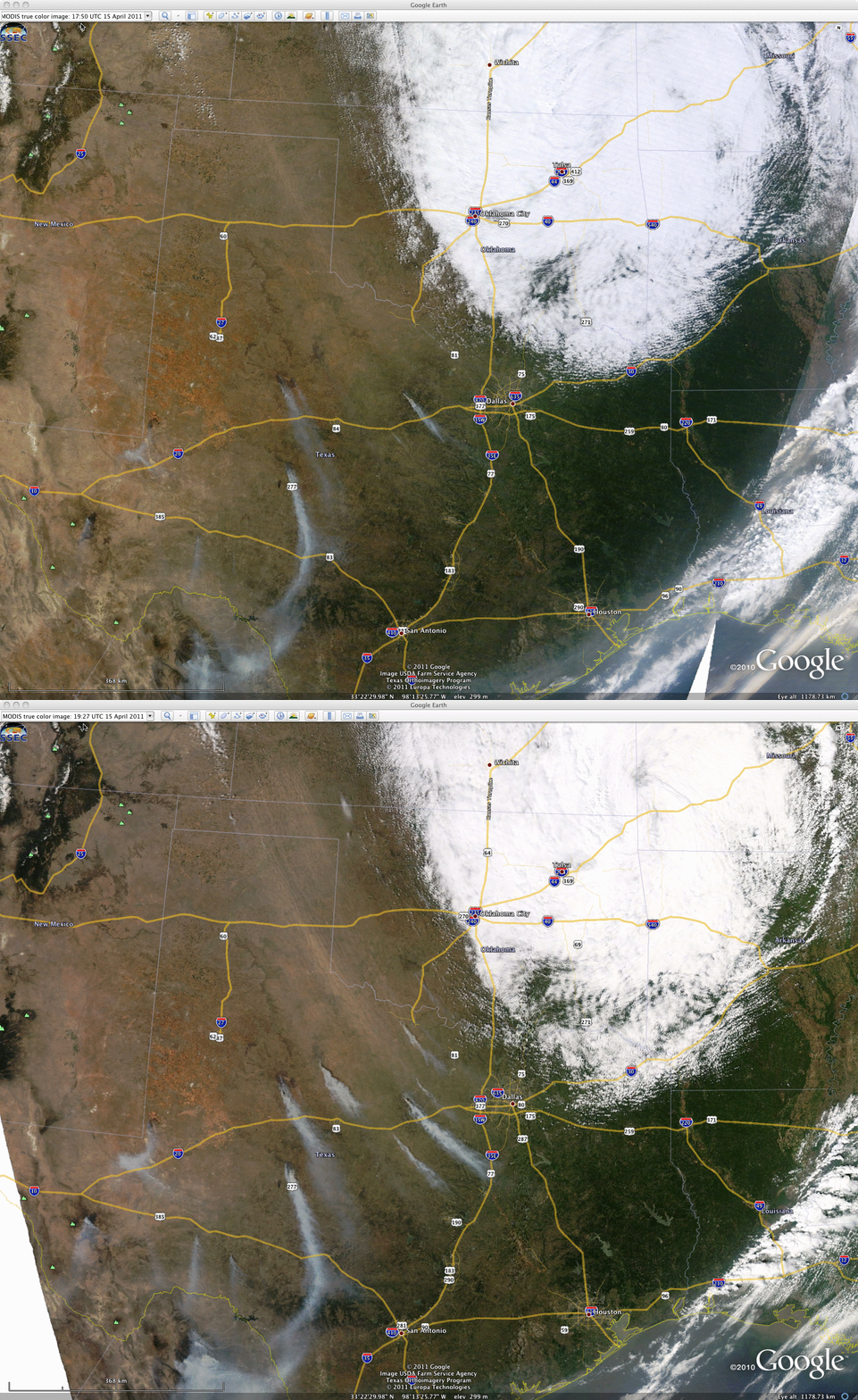
MODIS true color Red/Green/Blue (RGB) images from the SSEC MODIS Today site (below; displayed using Google Earth) also showed that a significant dust plume aloft was spreading out southeastward across the region. The blowing dust exhibited a distinct light brown color, in contrast to the light gray color of the smoke plumes.
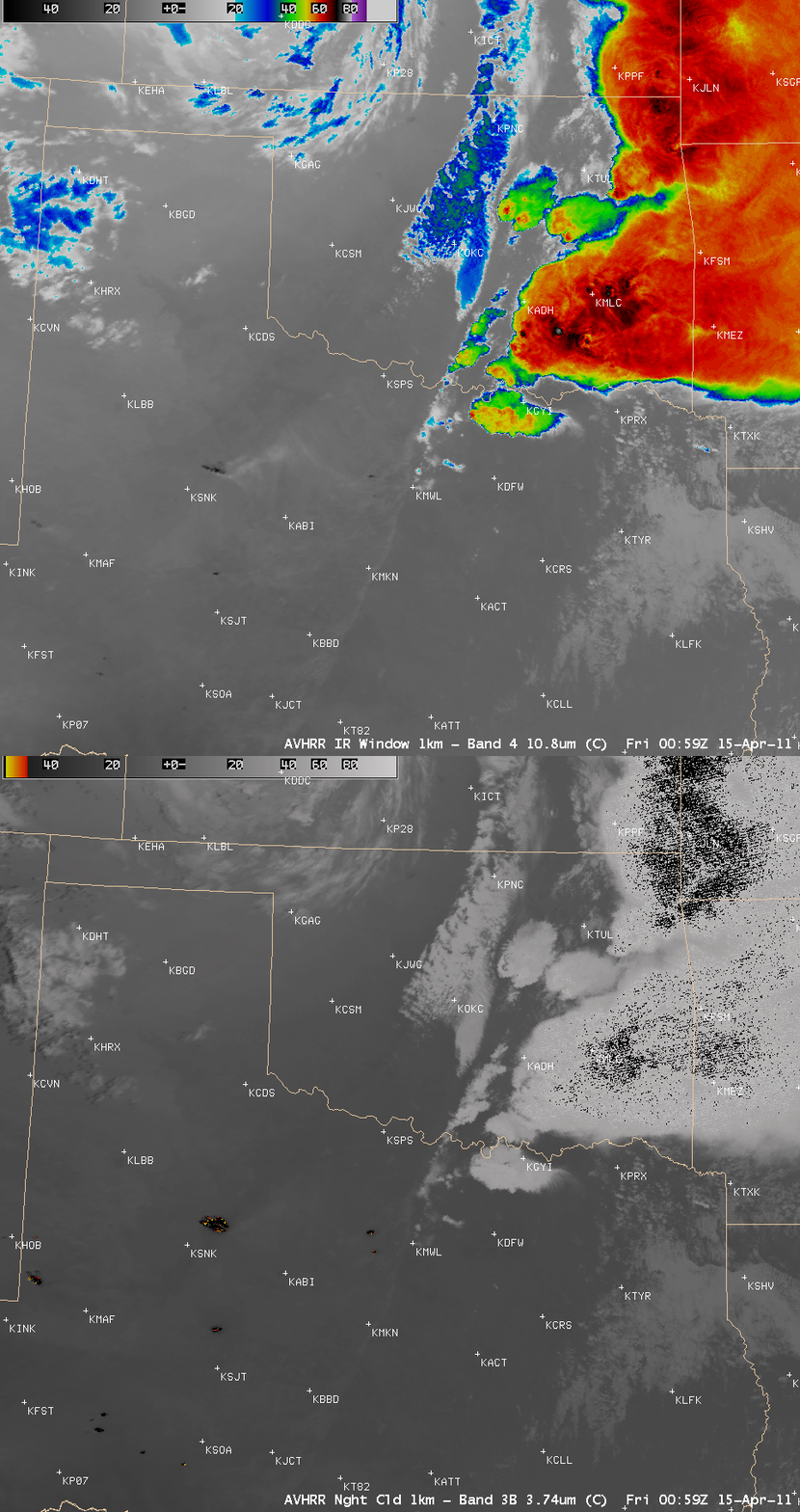
AWIPS images of POES AVHRR 3.7 µm shortwave IR and 10.8 µm IR window data from the previous evening (below) showed the very large size of some of the fire “hot spots” (black to red to yellow color enhancement on the shortwave IR image) — as well as the fact that some of the fires were so hot that they even exhibited a dark black hot spot signature of the 10.8 µm IR window channel image.
CIMSS participation in GOES-R Proving Ground activities includes making a variety of POES AVHRR images and products available for National Weather Service offices to add to their local AWIPS workstations.


