Hurricane Paula
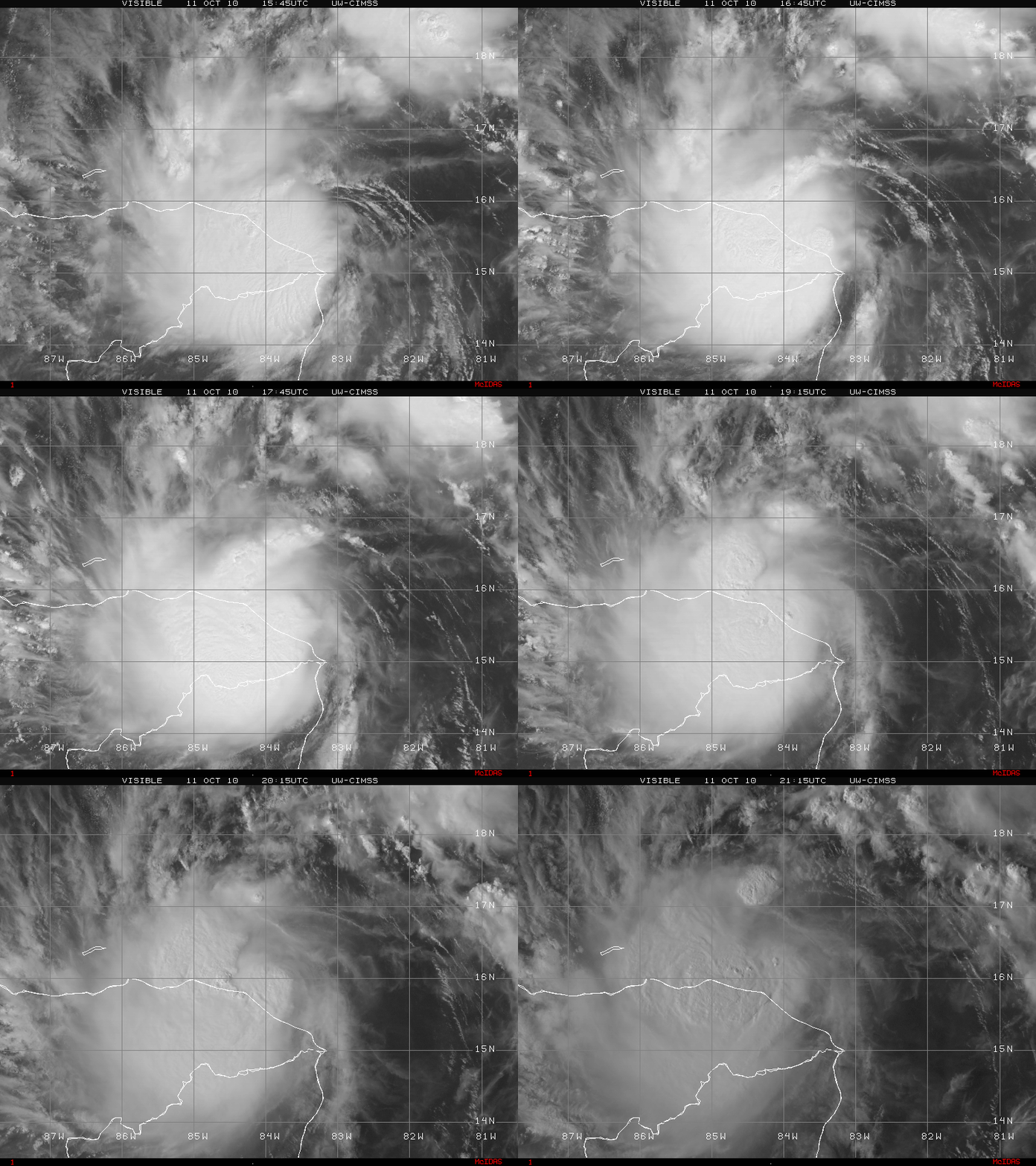
Tropical Storm Paula formed just off the coast of Honduras on 11 October 2010. GOES-13 0.63 µm visible channel images from the CIMSS Tropical Cyclones site (above) showed the well-defined convective clusters associated with Paula.
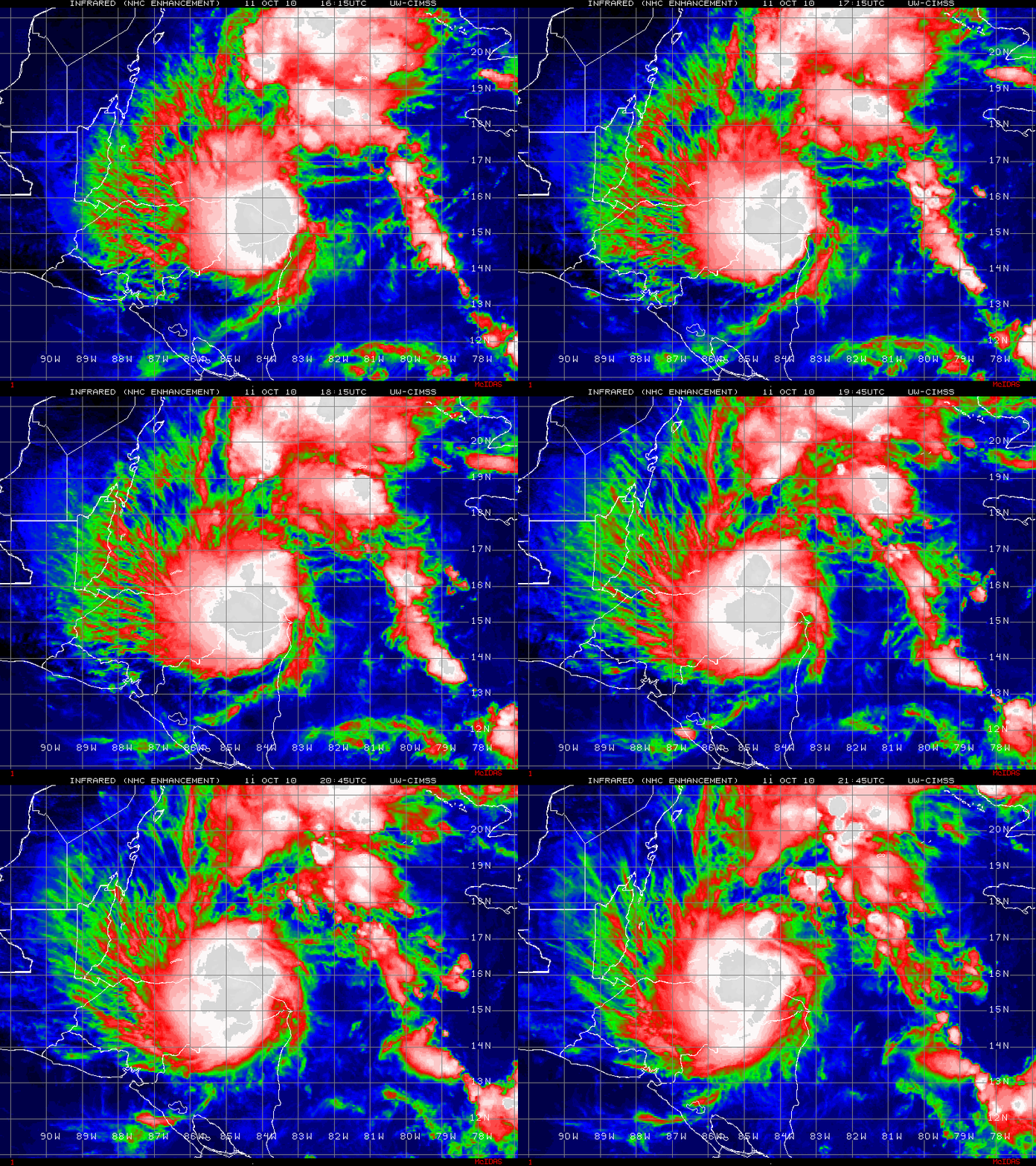
The canopy of cold cloud tops was evident on GOES-13 10.7 µm IR channel images (below).
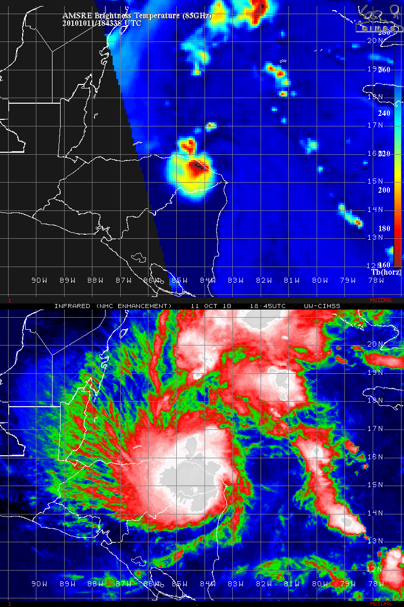
A comparison of a GOES-13 10.7 µm IR image with the corresponding Aqua AMSR-E 89 GHz microwave image (below) revealed a large area of heavy precipitation over a good portion of eastern Honduras.
========== 12 OCTOBER UPDATE ==========
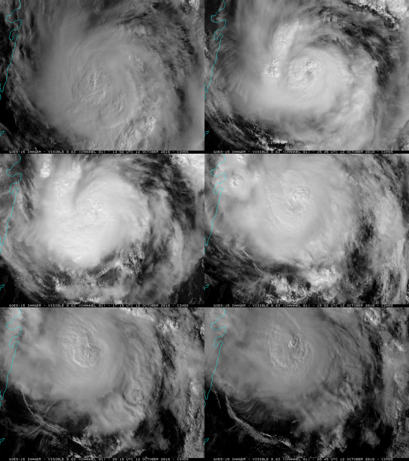
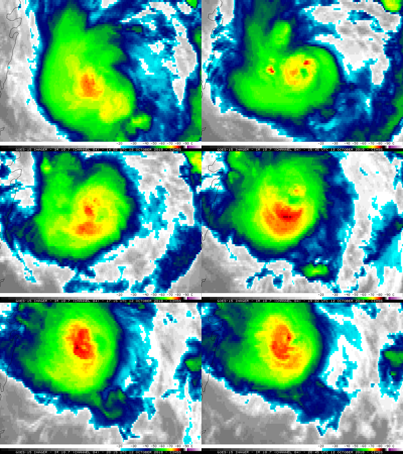
Paula rapidly intensified (CIMSS ADT plot) into a Category 2 hurricane on 12 October 2010. Paula briefly exhibited an eye during the morning hours on 1-km resolution GOES-15 0.63 µm visible channel imagery (above) and on 4-km resolution GOES-15 10.7 µm IR channel imagery (below). At 15:45 UTC, ASCAT scatterometer winds were measured at 46 knots surrounding the northern periphery of the center of Paula.
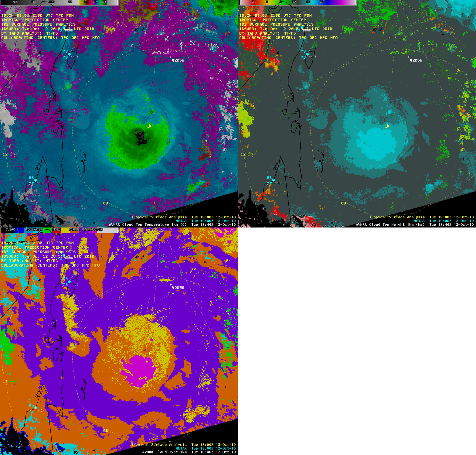
AWIPS images of the POES AVHRR Cloud Top Temperature (CTT), Cloud Top Height (CTH), and Cloud Type products at 18:46 UTC (below) showed that the coldest CTT value was -86º C, with a large area of maximum CTH values of 16 km (much of that overshooting the tropopause, as indicated by the violet color enhancement on the Cloud Type product).


