Smoke from fires in Quebec, Canada
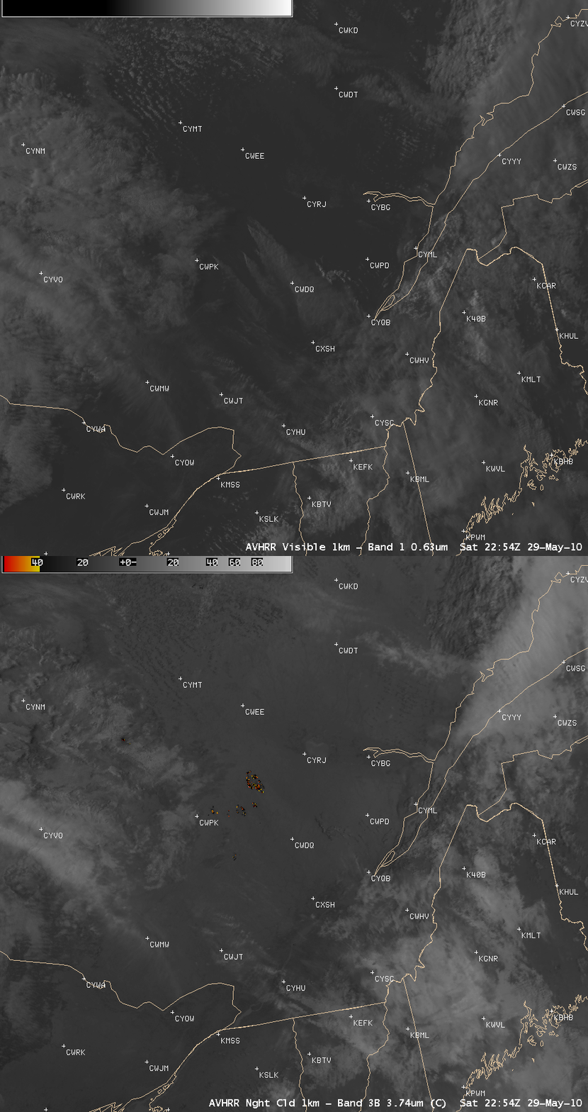
Large wildfires began to burn in parts of Quebec, Canada during the last few days of May 2010. AWIPS images of 1-km resolution POES AVHRR 0.63 µm visible channel and 3.7 µm shortwave IR channel data (above) revealed several clusters of hot pixels (yellow to red pixels) associated with active fires on 29 May 2010, with large smoke plumes drifting southeastward.
On the following day (30 May), a 1-km resolution MODIS 0.65 µm visible image (below) showed the large smoke plumes that continued to drift to the southeast.
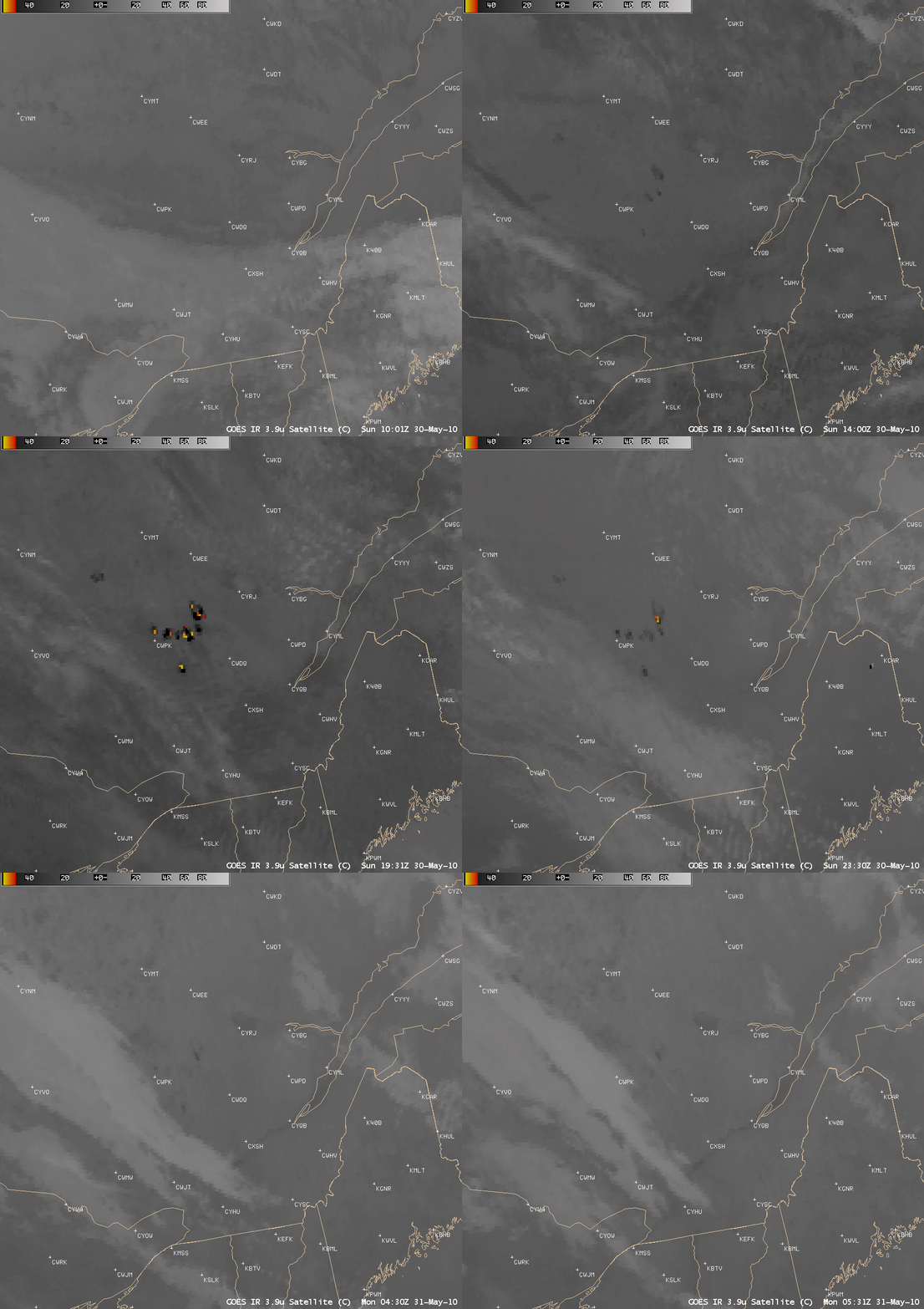
An animation of 4-km resolution GOES-13 3.7 µm shotwave IR images (below) showed the flare-up of active fire hot spots (yellow to red color enhancement) during the daytime hours on 30 May.
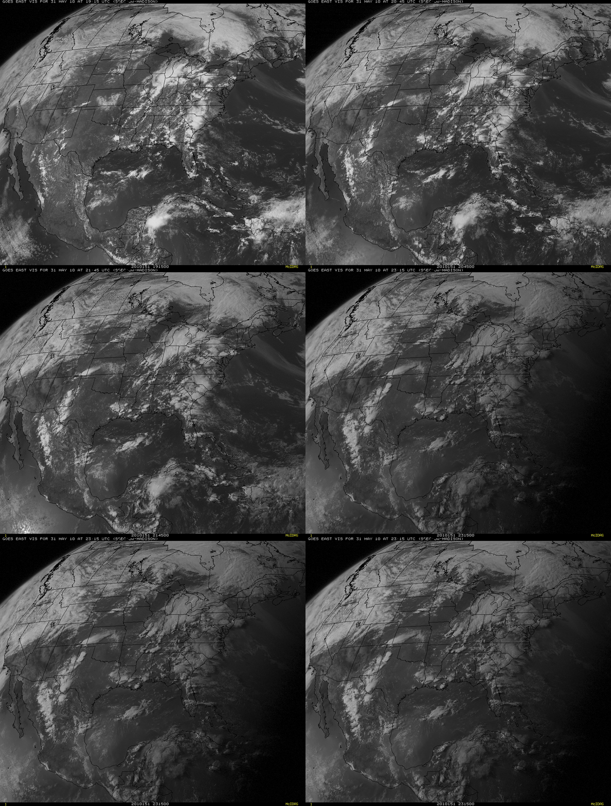
GOES-13 0.63 µm visible channel images (below) depicted the very long smoke plume that had drifted across the northeastern US and out across the adjacent waters of the Atlantic Ocean on 31 May. This thick smoke was reducing visibility and causing air quality problems across parts of New England on that day.
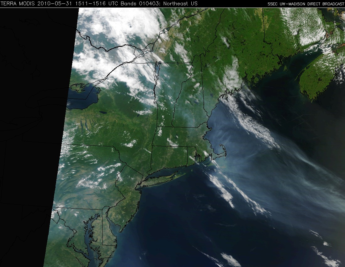
This smoke plume was also very apparent on a MODIS Red/Green/Blue (RGB) image, created using bands 1/4/3 (below).


