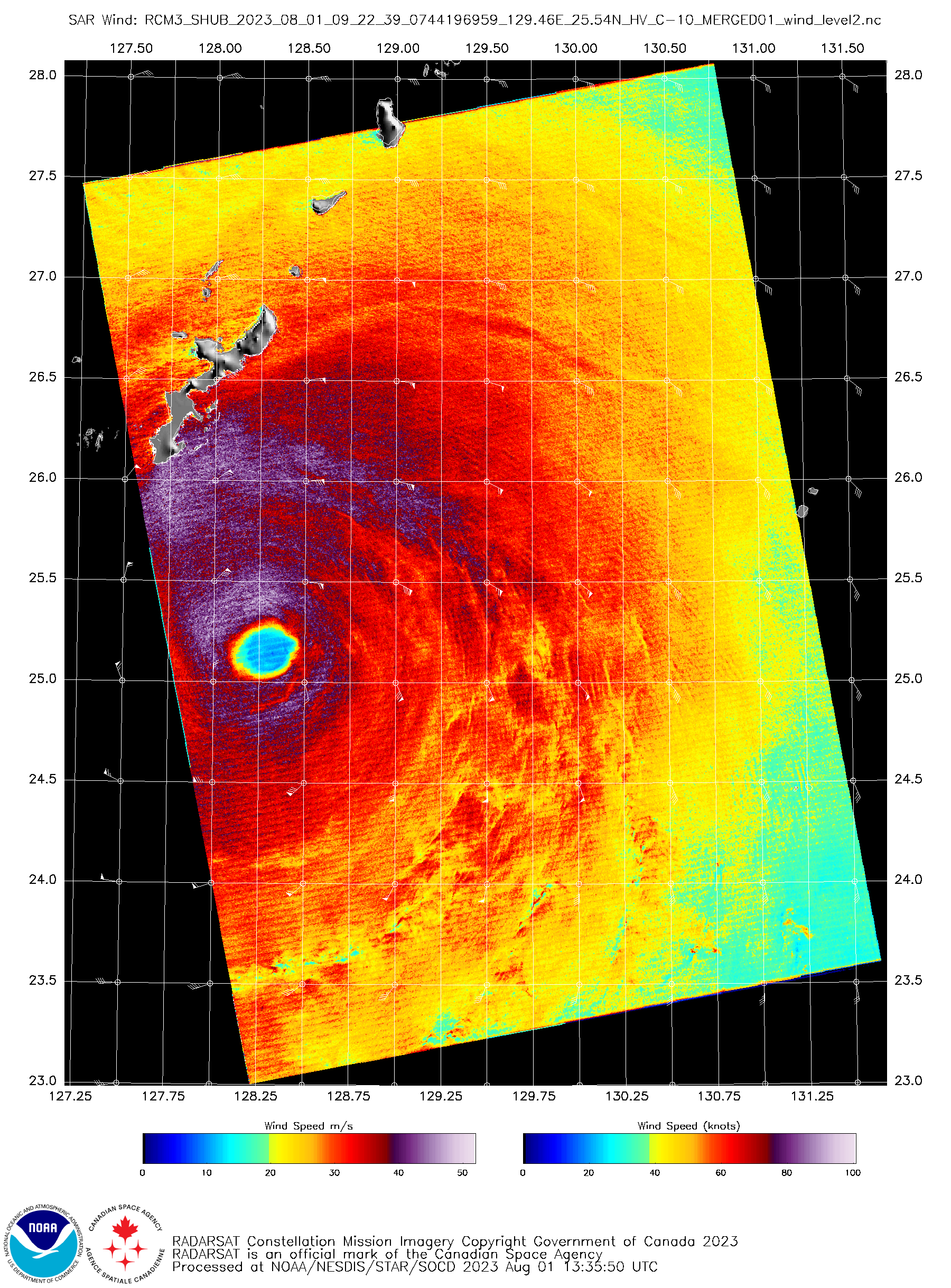
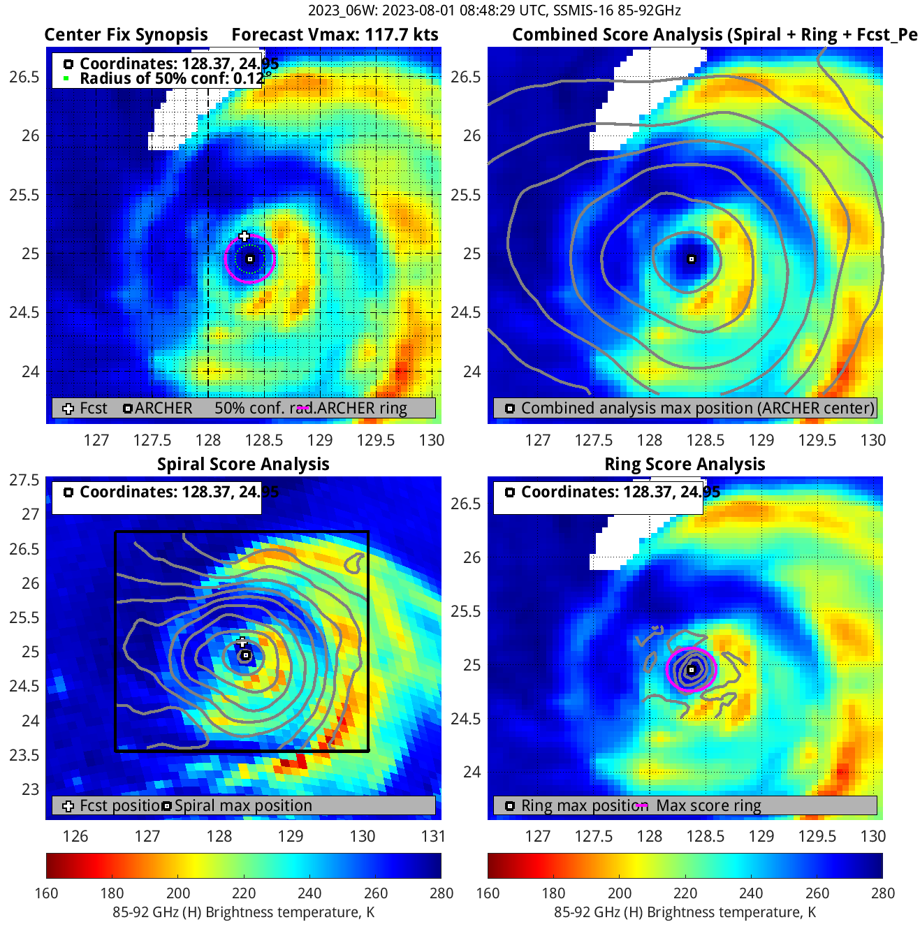
Typhoon Khanun passes just south of Okinawa Island
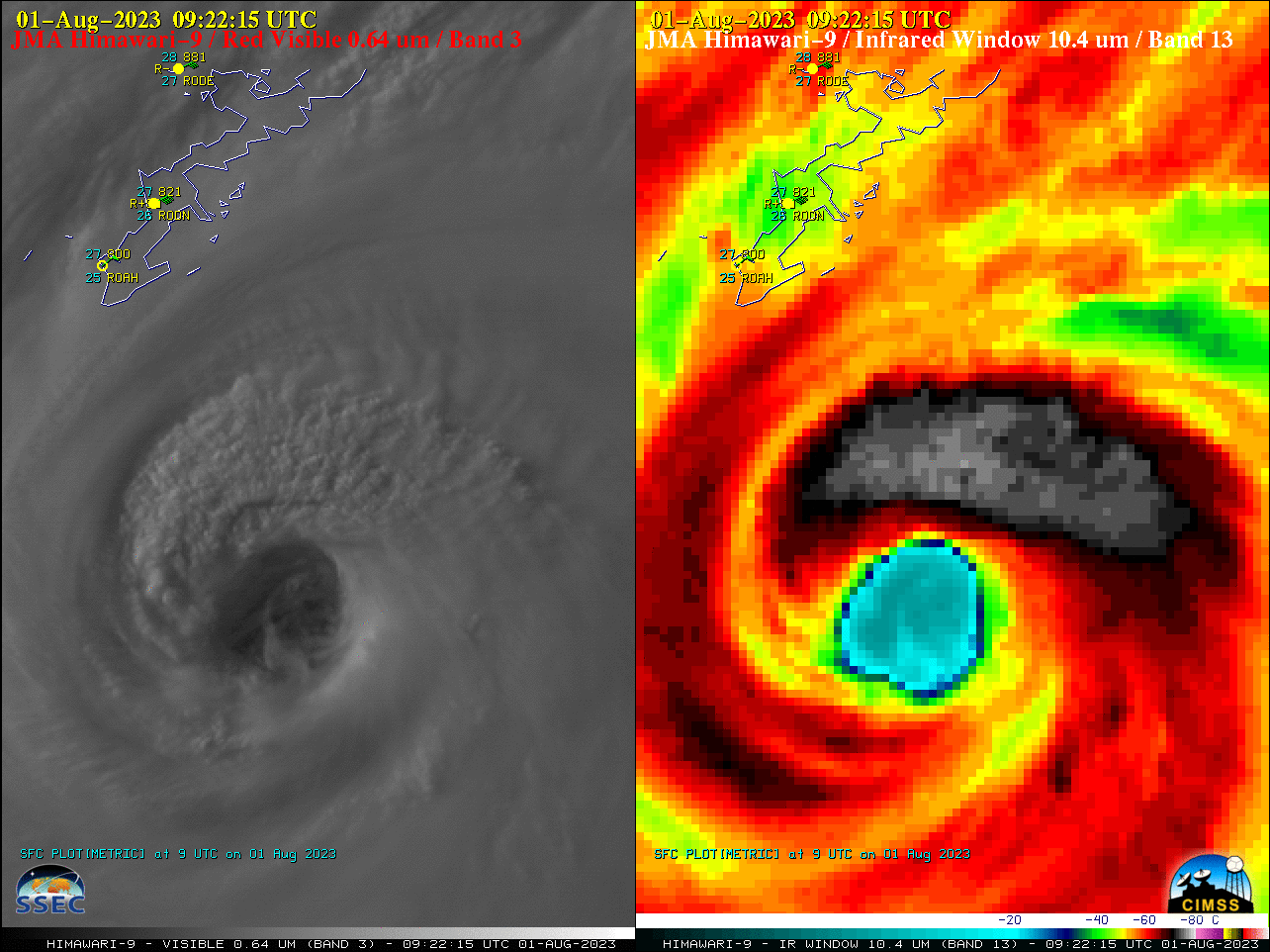
JMA Himawari-9 “Red” Visible (0.64 µm, left) and “Clean” Infrared Window (10.4 µm, right) images, from 0502-1002 UTC on 01 August [click to play animated GIF | MP4]
During that 0502-1002 UTC time period, peak wind gusts at the 3 METAR sites located in the southern part of the island were in the 70-78 knot range (below) — and soon thereafter reached 85 knots at Naha (ROAH) and Futenma (farther north, the peak wind gust at Kadena RODN was 76 knots).
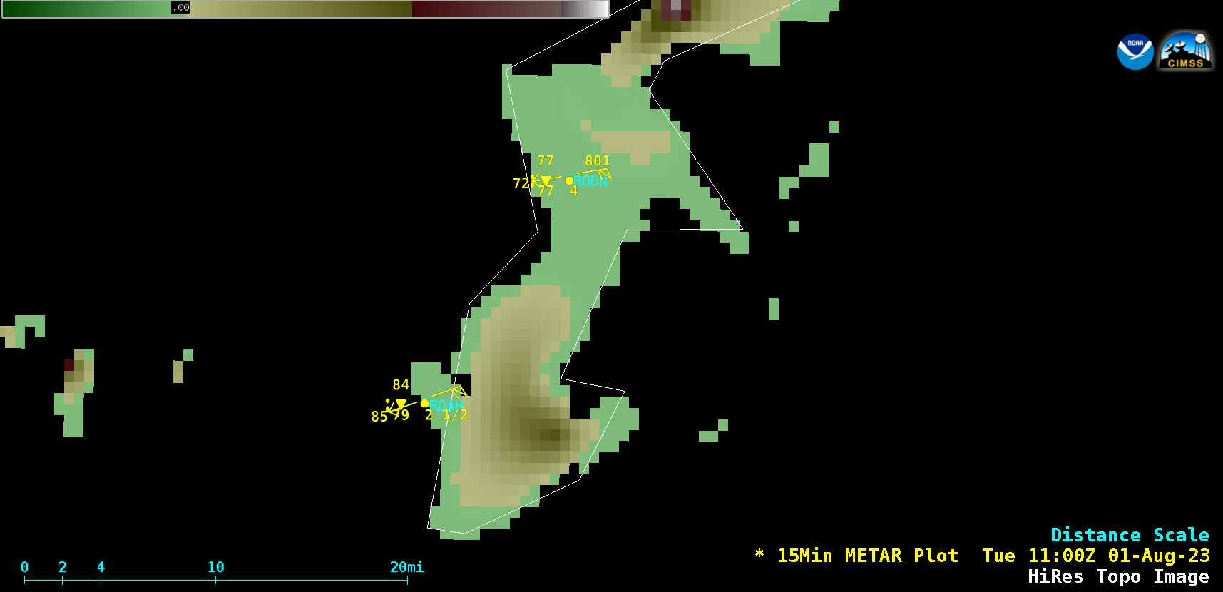
15-minute METAR observations on the island of Okinawa, from 0000-1830 UTC on 01 August [click to play animated GIF | MP4]
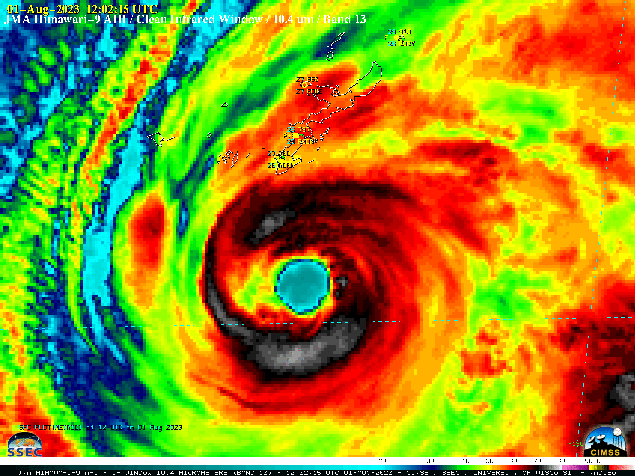
JMA Himawari-9 “Clean” Infrared Window (10.4 µm) images, from 2352 UTC on 31 July to 0222 UTC on 02 August [click to play animated GIF | MP4]


