Hurricane Dean in the western Caribbean
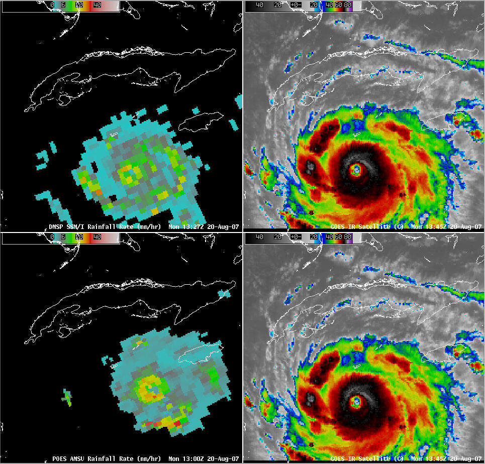
AWIPS images of the DMSP and POES AMSU rainfall rates along with the GOES-12 IR channel imagery (above) shows Hurricane Dean as a Category 4 storm in the western Caribbean during the morning on 20 August 2007. Satellite-based rainfall rates within the spiral bands of the hurricane were as high as 35 mm per hour (1.4 inches per hour), and GOES-12 IR brightness temperatures around that time were as cold as -77º C (-107ºF). Dean continued moving westward across the Caribbean, steered by easterly winds along the southern periphery of a deep layer ridge that was centered over the southeastern US. Refer to the CIMSS Tropical Cyclones site for the latest information on Hurricane Dean.
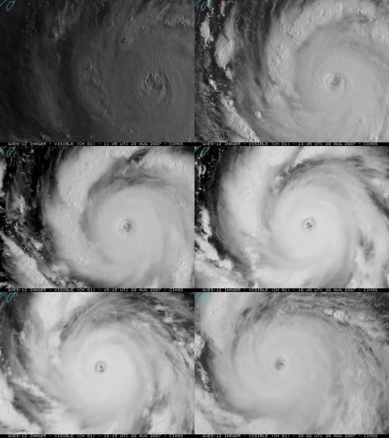
An animation of GOES-12 visible images (above; Java animation) shows the eye of Dean. When viewed using the normal operational GOES image interval of 15 minutes, the low cloud features within the eye appear to be rotating anticyclonically (clockwise). This is an optical illusion, similar to the “strobe effect”: the low clouds in the eye are moving so quickly that their true motion can only be determined by viewing images more frequently than once every 15 minutes.
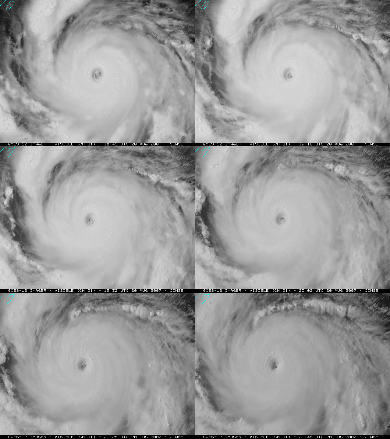
Fortunately, GOES-12 was placed into Rapid Scan Operations (RSO) mode beginning at 18:55 UTC, so images after that time were available at 5 to 10 minute intervals. The GOES-12 RSO visible image animation (below; Java animation) shows the low cloud features within the eye rotating in the “correct” direction (cyclonically, or counterclockwise).
A visible image from NOAA-18 (below) provides a closer view of the mesovortex cloud features within the eye of Dean. Use this Java image fader applet to fade between the NOAA-18 visible image and the corresponding NOAA-18 IR image.


