Hurricane Darby in the East Pacific Ocean

GOES-17 “Red” Visible (0.64 µm, top) and “Clean” Infrared Window (10.35 µm, bottom) images [click to play animated GIF | MP4]
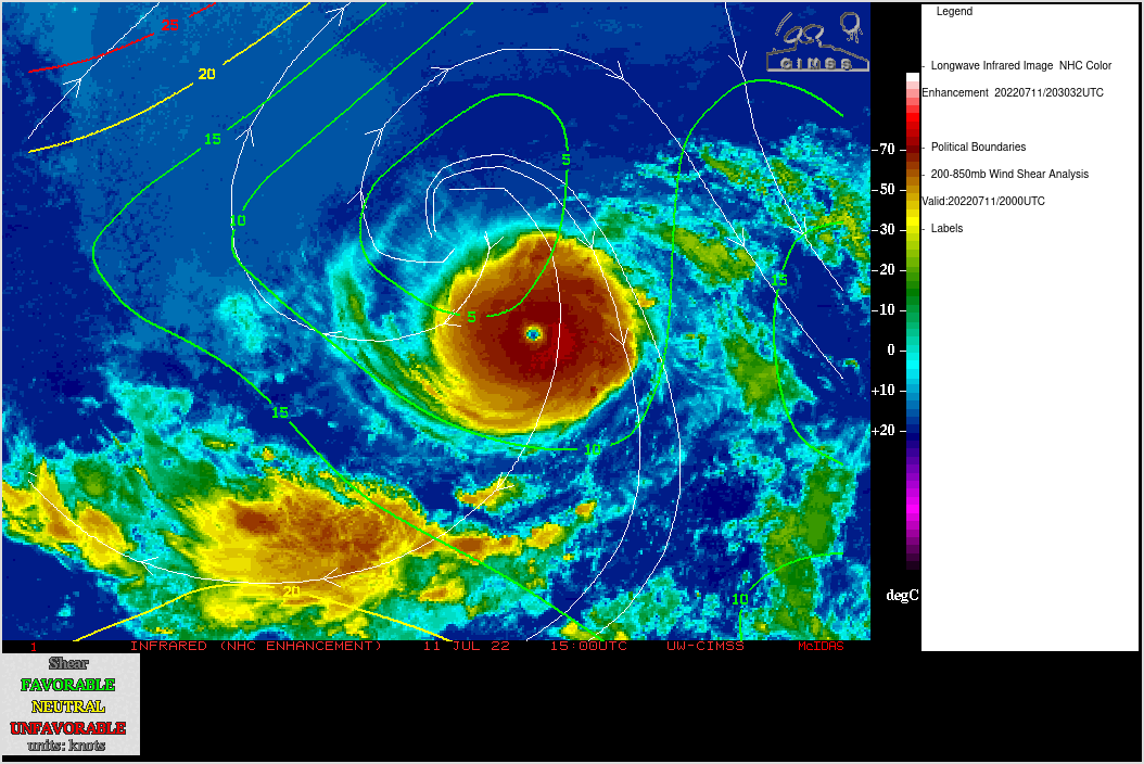
A NOAA-20 VIIRS Infrared Window (11.45 µm) image from RealEarth (below) revealed an arc of slightly colder cloud tops (shades of white within dark black) in the northern portion of the eyewall.
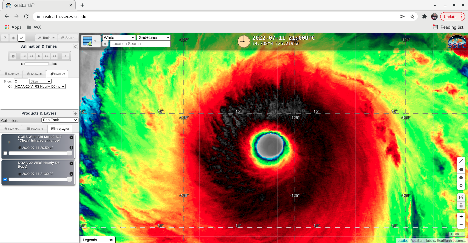
NOAA-20 VIIRS Infrared Window (11.45 µm ) image at 2129 UTC [click to enlarge]
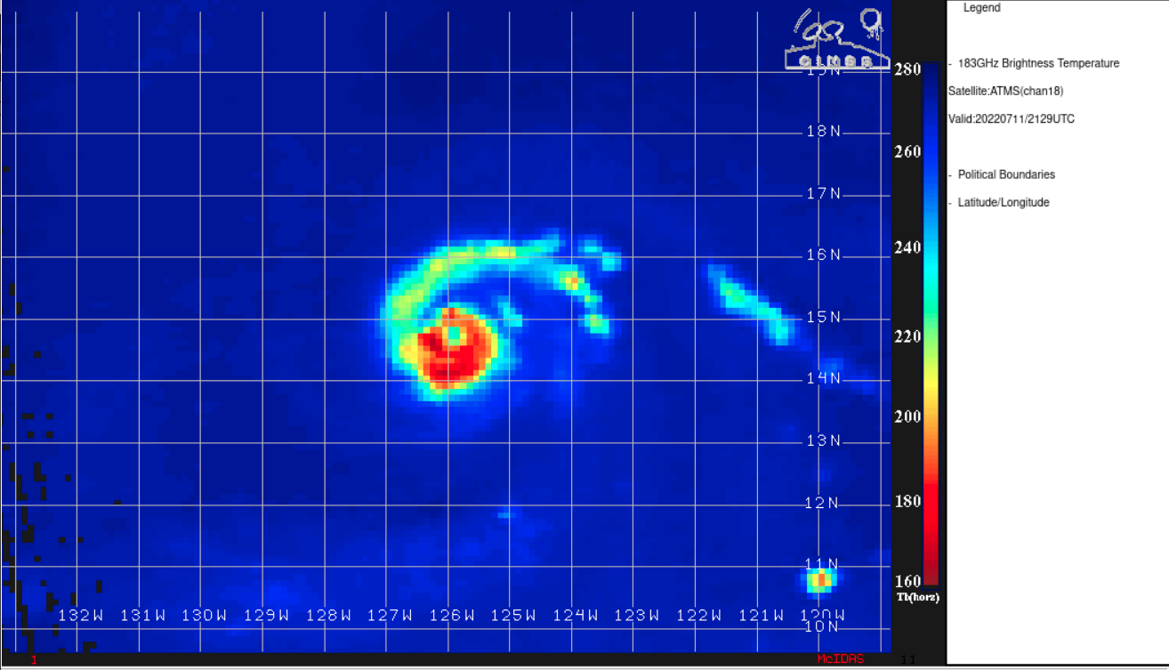
NOAA-20 ATMS Microwave (183 GHz) image at 2129 UTC [click to enlarge]