Sam in the Atlantic

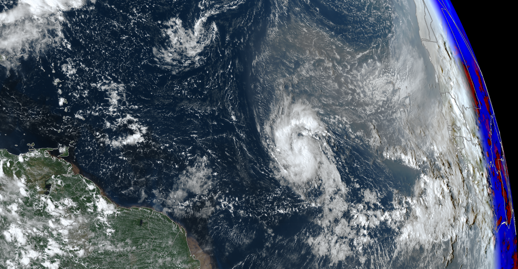
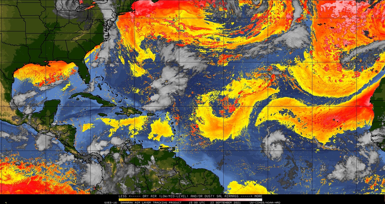
Tropical Storm Sam is poised to strengthen in the tropical Atlantic. The True-Color image above shows the cyclone just to the south of a region of dust that is apparent in the true-color imagery as a greyish/brown region extending from the storm towards Africa. A Saharan Air Layer (SAL) analysis, below (from this site), also shows this region of dry air to the east of the storm. Sam is not projected to be influenced by the dry air that is following it.

Both 200-850 mb shear and SSTs, shown in a toggle below, will not inhibit strengthening. Shear is weak, and waters are warm. An ASCAT pass from MetopC shortly before 1200 UTC on 23 September (from this NOAA OSPO site) is shown here. A slightly later pass from MetopB (from the OSI SAF site) is shown here.

The National Hurricane Center projects Sam to become a Major Hurricane. Refer to the National Hurricane Center for more information.

