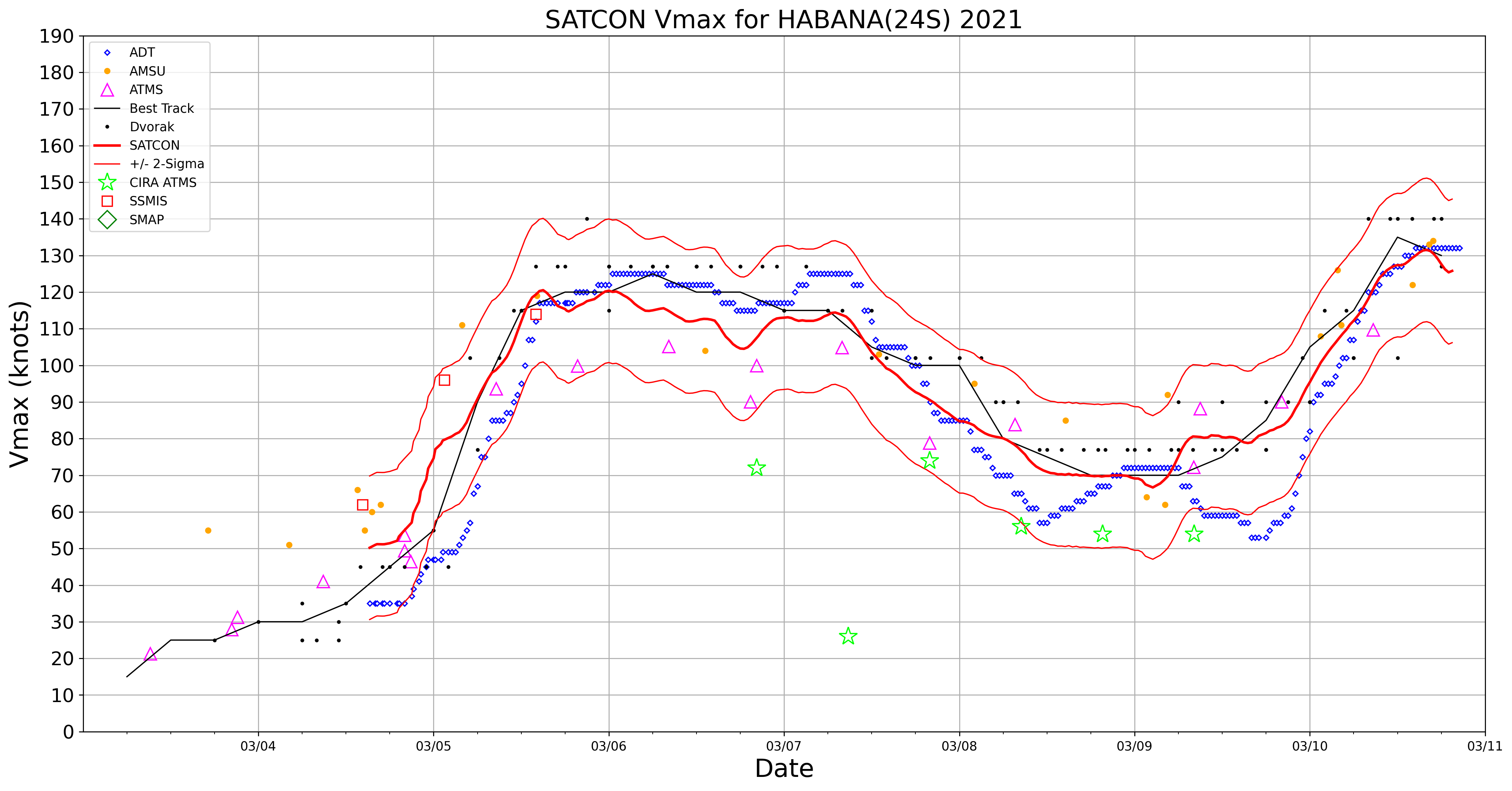
Cyclone Habana in the South Indian Ocean
![US Space Force EWS-G1 Infrared Window (10.7 µm) images [click to play animation | MP4]](https://cimss.ssec.wisc.edu/satellite-blog/images/2021/03/210310_ewsG1_infrared_Cyclone_Habana_anim.gif)
US Space Force EWS-G1 Infrared Window (10.7 µm) images [click to play animation | MP4]
Meteosat-8 Infrared images with contours of deep-layer wind shear from the CIMSS Tropical Cyclones site (below) showed that Habana was moving through an environment of relatively low shear.
![Meteosat-8 Infrared images, with contours of deep-layer wind shear [click to enlarge]](https://cimss.ssec.wisc.edu/satellite-blog/images/2021/03/210310_meteosat8_infrared_shear_Habana_anim.gif)
Meteosat-8 Infrared images, with contours of deep-layer wind shear [click to enlarge]
![Meteosat-8 Infrared images, with a plot of Metop ASCAT winds [click to enlarge]](https://cimss.ssec.wisc.edu/satellite-blog/images/2021/03/210310_meteosat8_infrared_ascat_Habana_anim.gif)
Meteosat-8 Infrared images, with a plot of Metop ASCAT winds [click to enlarge]
![DMSP-16 SSMIS Microwave (85 GHz) image at 1139 UTC [click to enlarge]](https://cimss.ssec.wisc.edu/satellite-blog/images/2021/03/210310_1139utc_dmsp16_ssmis_Habana.gif)
DMSP-16 SSMIS Microwave (85 GHz) image at 1139 UTC [click to enlarge]
![DMSP-18 SSMIS Microwave (85 GHz) image at 2327 UTC [click to enlarge]](https://cimss.ssec.wisc.edu/satellite-blog/images/2021/03/210310_2327utc_dmsp18_ssmis_Habana.gif)
DMSP-18 SSMIS Microwave (85 GHz) image at 2327 UTC [click to enlarge]