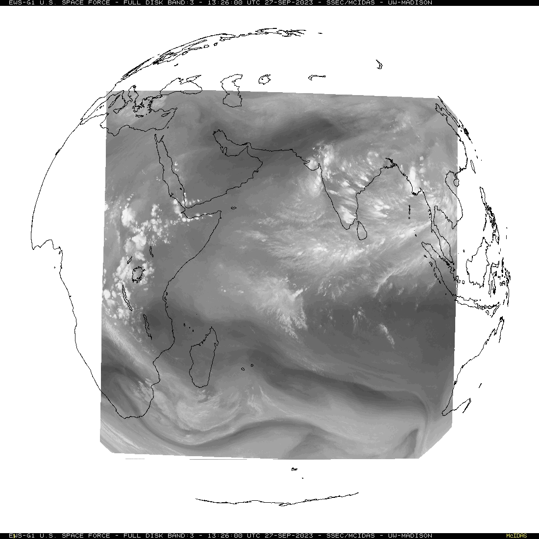
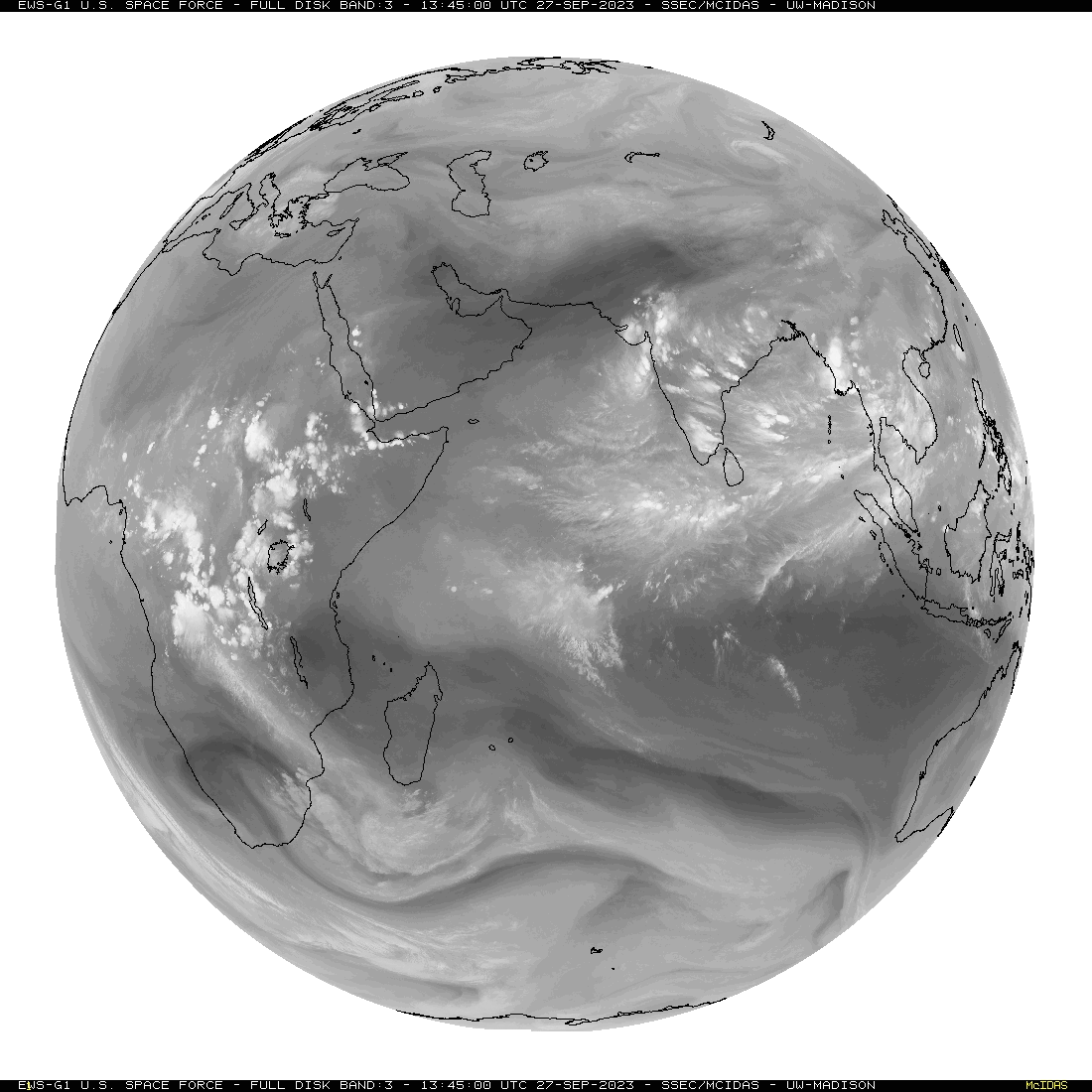
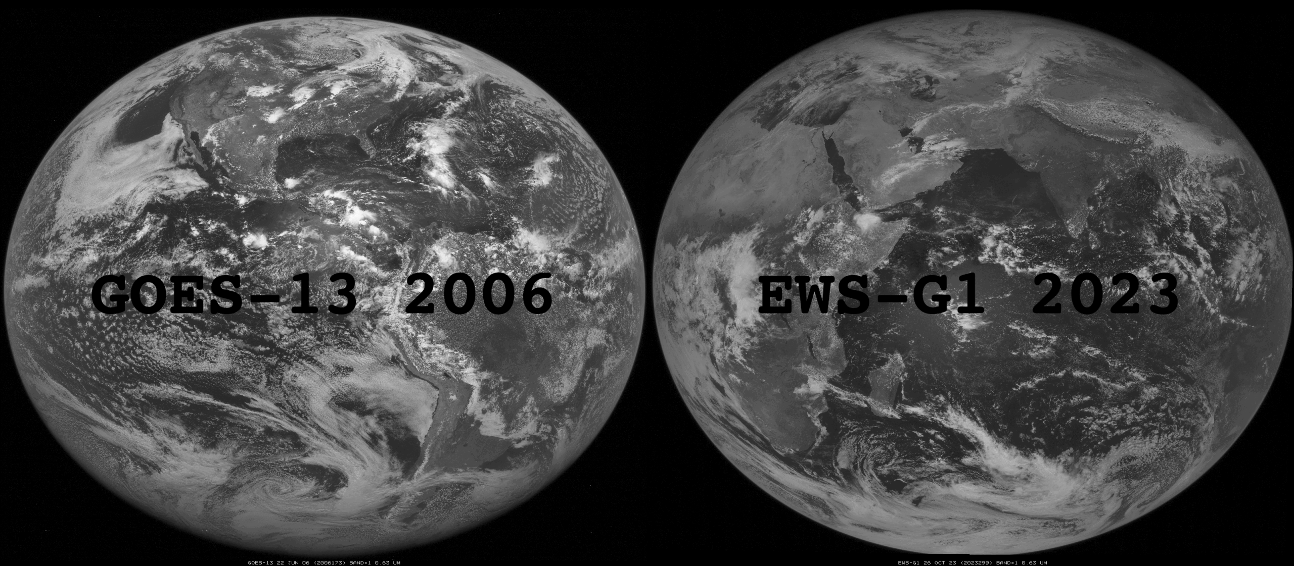
![EWS-G1 Visible (0.63 µm) images [click to play animation | MP4]](https://cimss.ssec.wisc.edu/satellite-blog/images/2020/11/GATI_EWS_VIS_Landfall_Somalia_960x1280_B1_00017_2020327_104500_0001PANEL.GIF)
EWS-G1 Visible (0.63 µm) images [click to play animation | MP4]
US Space Force
EWS-G1 Visible (0.63 µm) images
(above) showed Category 2
Cyclone Gati as it made landfall along the east coast of Somalia on 22 November 2020. The tropical cyclone rapidly intensified (
ADT |
SATCON) as it moved westward across the North Indian Ocean (through a corridor of
low wind shear).
EWS-G1 Infrared Window (10.7 µm) images (below) revealed cloud-top infrared brightness temperatures in the -70 to -80ºC range as the eye was forming after 02 UTC. The eye of Gati opened quickly, but then collapsed and became cloud-filled shortly before landfall. It bears mentioning that in the historical record there are no tropical cyclones of Hurricane intensity making landfall in Somalia.
![EWS-G1 Infrared Window (10.7 µm) images [click to play animation | MP4]](https://cimss.ssec.wisc.edu/satellite-blog/images/2020/11/GATI_EWS_IR_Landfall_Somalia_960x1280_B4_00021_2020327_104500_0001PANEL.GIF)
EWS-G1 Infrared Window (10.7 µm) images [click to play animation | MP4]
EWS-G1 Water Vapor (6.5 µm) images
(below) also showed the apparent merger of 2 convective clusters — in addition to their brief Fujiwhara-type rotation — prior to Gati’s intensification and the formation of an eye.