Hurricane Sandy
Hurricane Sandy became the tenth hurricane of the 2012 Atlantic Basin tropical cyclone season on 24 October 2012. McIDAS images of GOES-13 10.7 µm IR data (above; click image to play animation) showed the fairly rapid formation of an eye as the storm approached the eastern portion of the island of Jamaica.
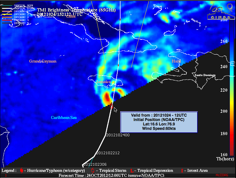
A 15:21 UTC TRMM Microwave Imager (TMI) 85 GHz brightness temperature image from the CIMSS Tropical Cyclones site (below) suggested that a closed eyewall was nearly formed complete by that time.
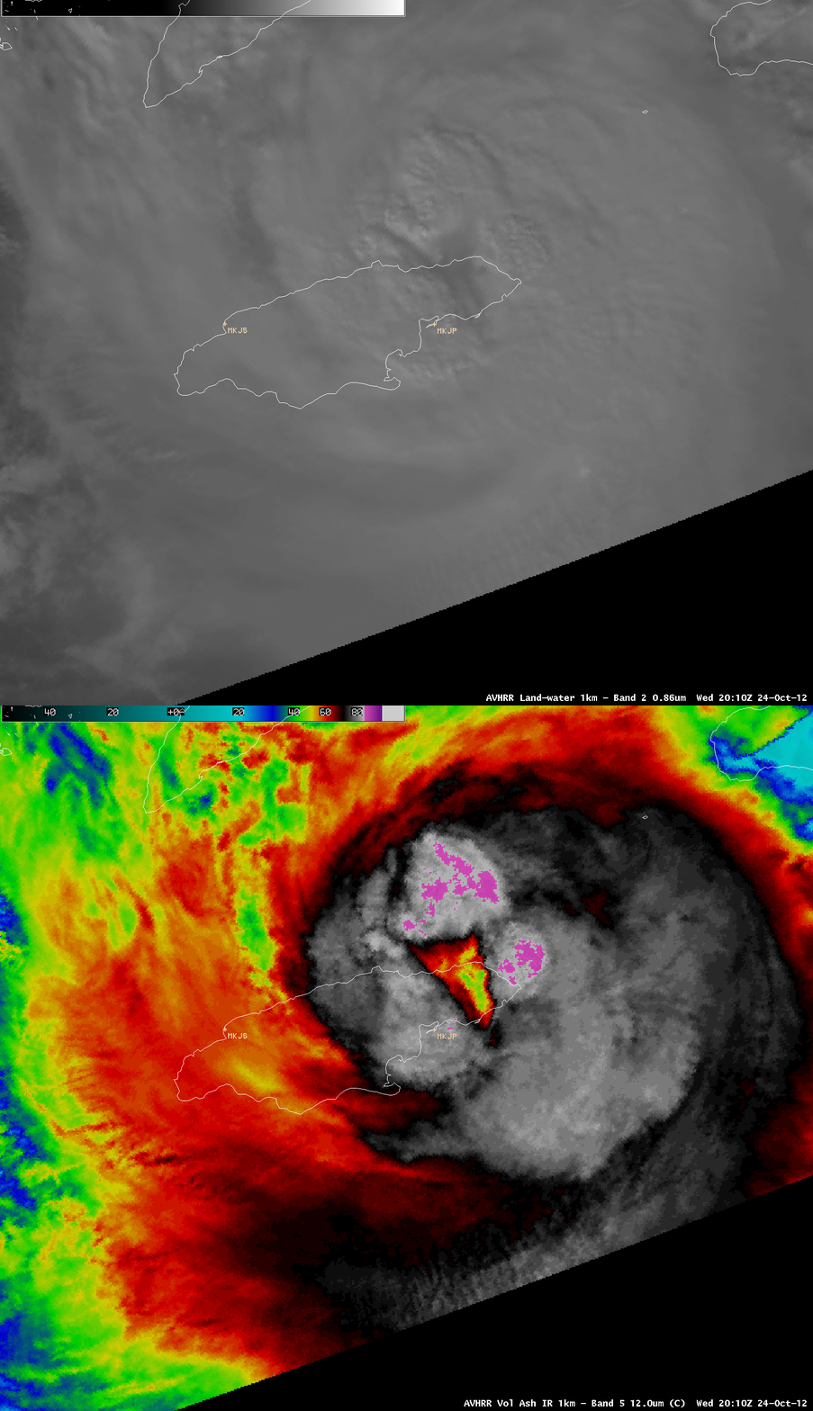
A comparison of AWIPS images of 1-km resolution POES AVHRR 0.86 µm visible channel and 12.0 µm IR channel data (below) showed the eye region of Hurricane Sandy after the center of the storm was passing over Jamaica.


