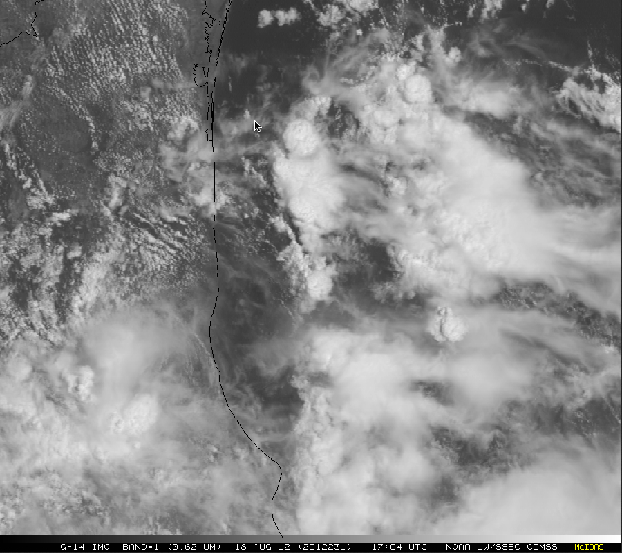
GOES-14 SRSOR 1-minute interval images of Tropical Depression Helene
On 18 August 2012, GOES-14 provided Super Rapid Scan Operations for GOES-R (SRSOR) imagery of Tropical Depression Helene making landfall along the eastern coast of Mexico — McIDAS images of 1-km resolution 0.63 µm visible channel data (above; click image to play large 128 MegaByte animation) showed convective bursts near the center of Helene as it moved inland, along with a larger convective band that persisted just offshore over the far western Gulf of Mexico (which eventually produced well-defined low-level convective outflow boundaries along the northern end).
The GOES-14 satellite has been brought out of on-orbit storage to be tested in SRSOR mode through the end of October 2012, allowing it to provide images at 1-minute intervals for an extended period of time over special regions of interest (similar to the future GOES-R satellite, which will be capable of producing imagery at 30-second intervals over special sectors of interest).
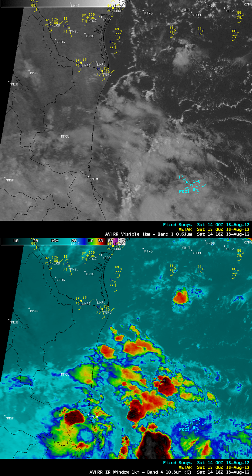
A comparison of AWIPS images of 1-km resolution POES AVHRR 0.63 µm visible channel and 10.8 µm IR channel data at 14:18 UTC (below) showed some of the earlier low-level convective outflow boundaries approaching far southern Texas, as well as embedded areas of convection exhibiting IR brightness temperature as cold as -77º C both near the inland center of Helene and also within the offshore convective band.


