Tropical Storm Alberto
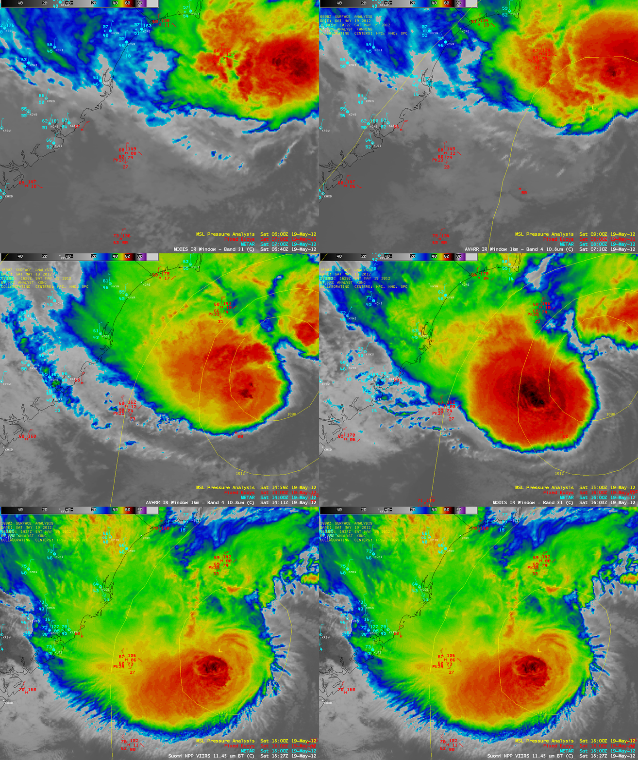
The 2012 Atlantic Basin tropical cyclone season began with the formation of Tropical Storm Alberto off the coast of South Carolina on 19 May 2012. A sequence of AWIPS images of 1-km resolution POES AVHRR 10.8 µm, Terra/Aqua MODIS 11.0 µm, and Suomi NPP VIIRS 11.45 µm IR images (above) showed the growth of deep convecion associated with Alberto as the system moved southwestward — cloud top IR brightness temperatures were as cold as -72º C on the MODIS image at 16:03 UTC.
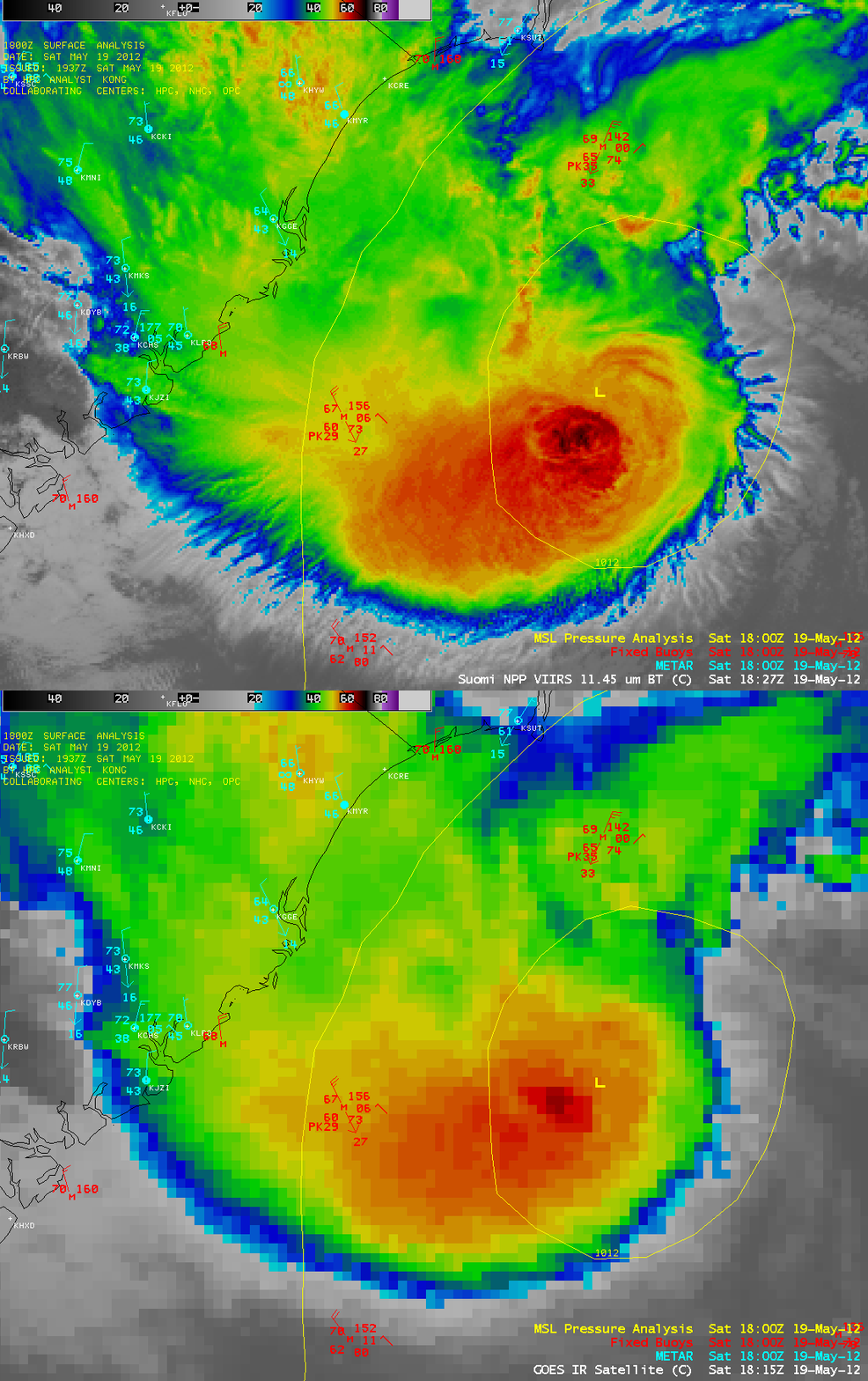
A comparison of the 18:27 UTC 1-km resolution Suomi NPP VIIRS 11.45 µm IR image with the 18:15 UTC 4-km resolution GOES-13 10.7 µm IR image (below) demonstrated the improvement in cloud top feature identification with higher spatial resolution, as well as showed the effect of parallax due to the large satellite viewing angle from GOES-13.
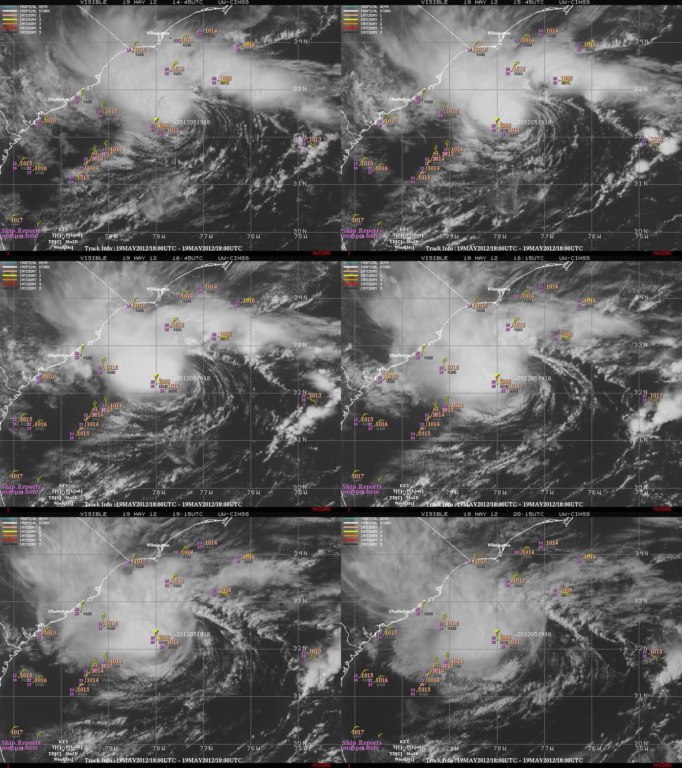
An animation of GOES-13 0.63 µm visible channel images from the CIMSS Tropical Cyclones site (below) showed the development of a more organized cloud structure during the day. In addition, a 21 UTC ship report near the center of Alberto noted wind gusts to 65 knots, which promted NHC to issue an update to note an increase in intensity.
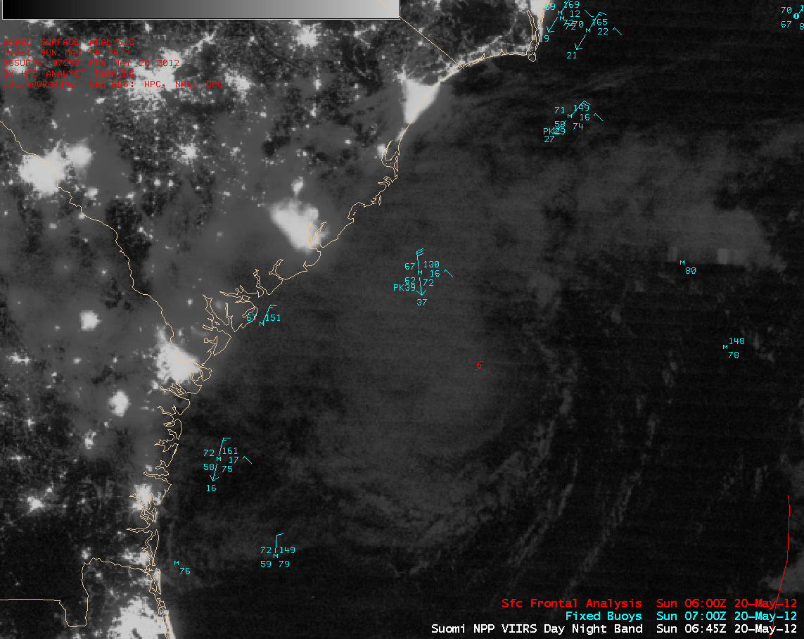
An AWIPS night-time image of the Suomi NPP VIIRS 0.7 µm “Day/Night Band” (below) revealed some of the cloud structure associated with Tropical Storm Alberto at 06:45 UTC (2:45 am local time). Given that there was a “New Moon” phase at this time, not a great deal of reflected light was avaiable to allow the Day/Night Band imagery to show more cloud detail.
Lights from cities and towns across the far southeastern US could also be seen in the Day/Night Band image (although some of the urban area light signatures were attenuated somewhat by overhead cloud cover).


