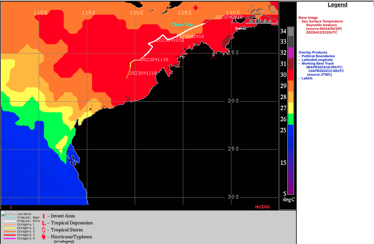
Cyclone Ilsa makes landfall in Australia

JMA Himawari-9 “Red” Visible (0.64 µm, left) and “Clean” Infrared Window (10.4 µm, right) [click to play animated GIF | MP4]
A Suomi-NPP ATMS Microwave (183 GHz) image from the CIMSS Tropical Cyclones site (below) displayed a closed eyewall structure at 0543 UTC, with a spiral band extending southward.
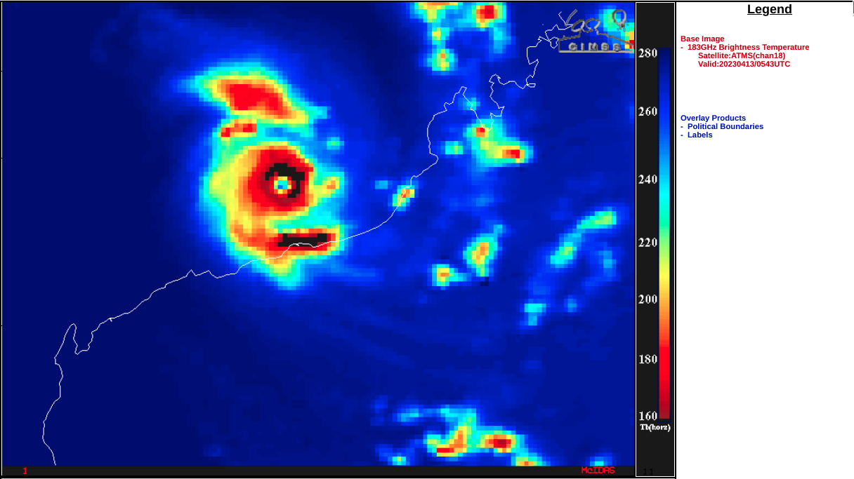
Suomi-NPP ATMS Microwave (183 GHz) image at 0543 UTC [click to enlarge]
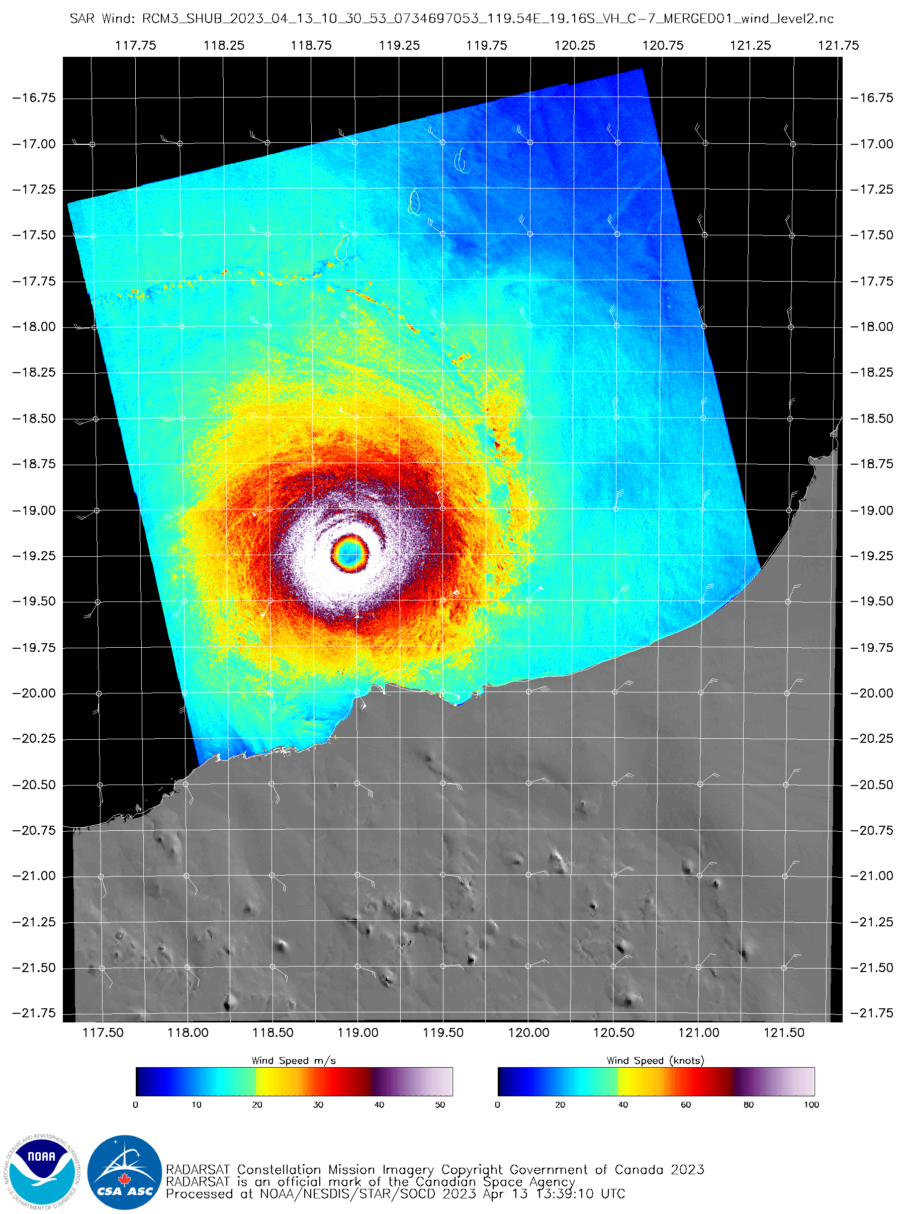
RCM-3 SAR image at 1030 UTC [click to enlarge]
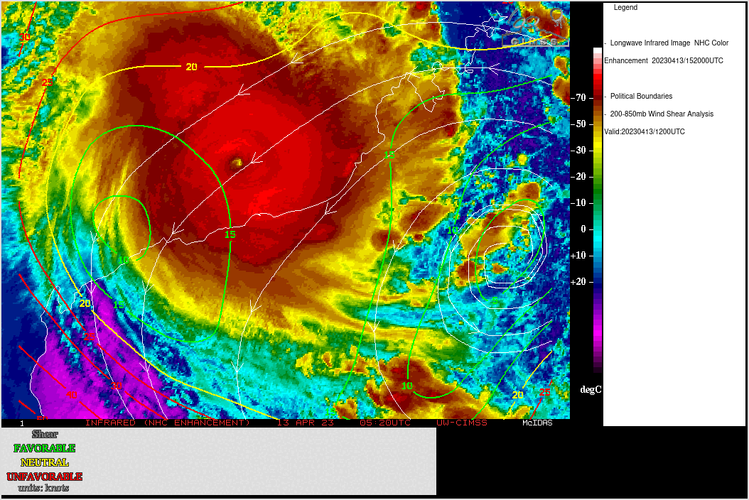
JMA Himawari-9 Infrared (11.2 µm) images, with an overlay of deep-layer wind shear at 1200 UTC [click to enlarge]
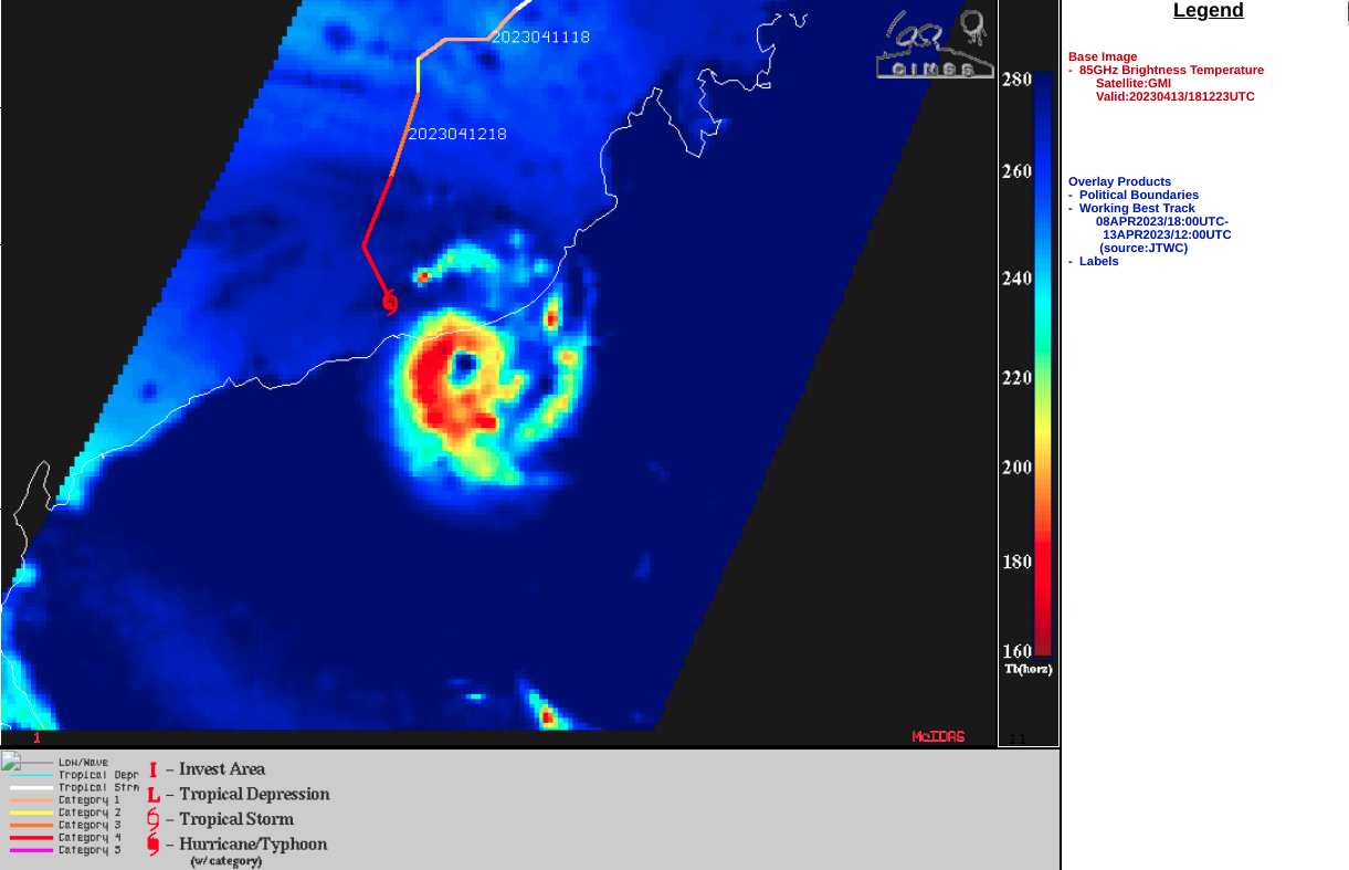
GMI Microwave (85 GHZ) image at 1821 UTC [click to enlarge]
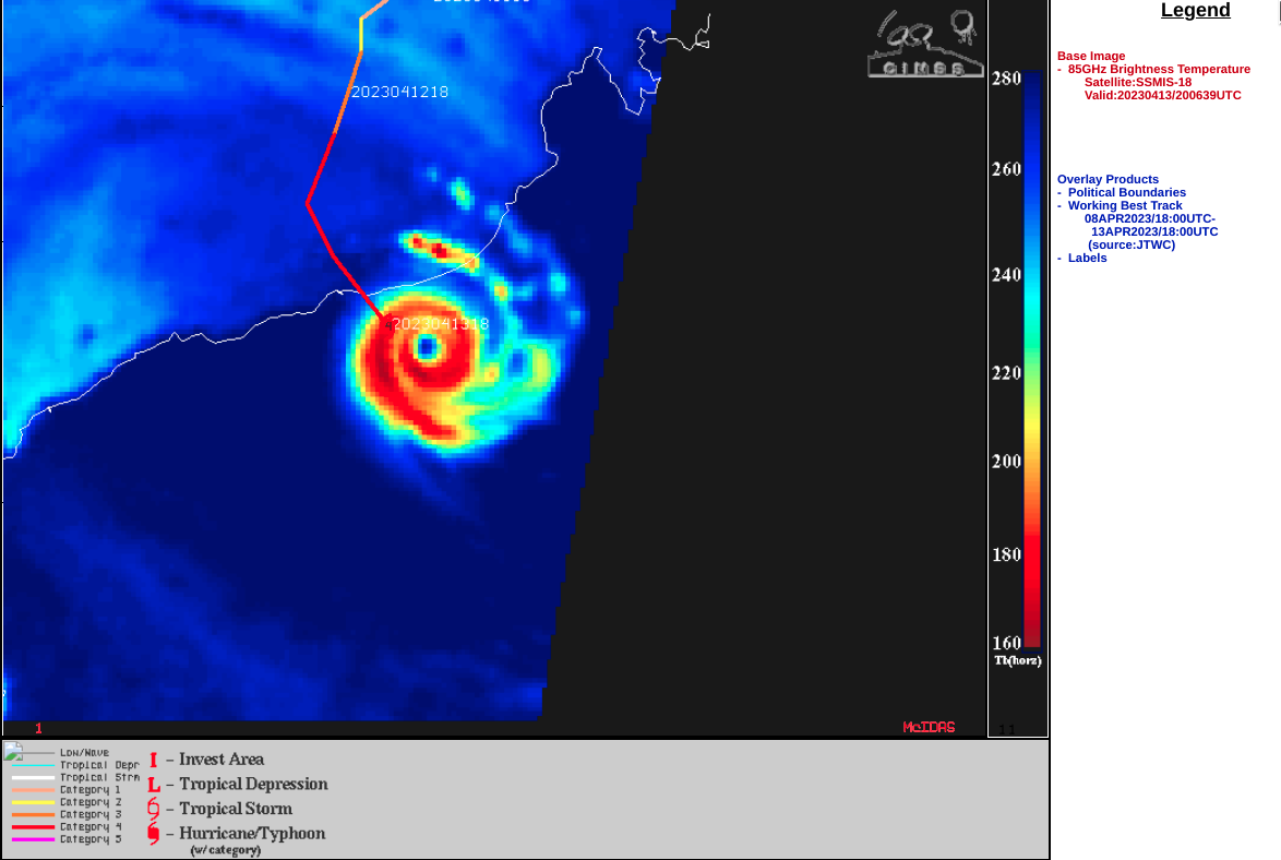
DMSP-18 SSMIS Microwave (85 GHz) image at 2006 UTC [click to enlarge]