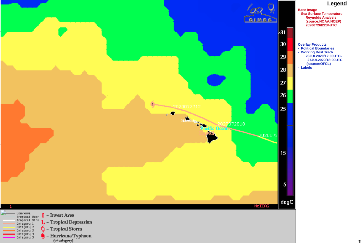
Hurricane Douglas moves just north of Hawai’i
![GOES-17 “Red” Visible (0.64 µm) and “Clean” Infrared Window (10.35 µm) images [click to play animation | MP4]](https://cimss.ssec.wisc.edu/satellite-blog/images/2020/07/200726_goes17_infrared_visible_Hurricane_Douglas_anim.gif)
GOES-17 “Red” Visible (0.64 µm) and “Clean” Infrared Window (10.35 µm) images [click to play animation | MP4]
![GOES-17 “Clean” Infrared Window (10.35 µm) images, with analysis of deep layer wind shear at 20 UTC [click to enlarge]](https://cimss.ssec.wisc.edu/satellite-blog/images/2020/07/200726_20utc_goes17_infrared_shear_Douglas.gif)
GOES-17 “Clean” Infrared Window (10.35 µm) images, with analysis of deep-layer wind shear at 20 UTC [click to enlarge]
![DMSP-17 SSMIS Microwave (85 GHz) image at 1711 UTC, with the analyzed surface position of Douglas at 1800 UTC [click to enlarge]](https://cimss.ssec.wisc.edu/satellite-blog/images/2020/07/200726_1711utc_dmsp17_ssmis_microwave_Douglas.png)
DMSP-17 SSMIS Microwave (85 GHz) image at 1711 UTC, with the analyzed surface position of Douglas at 1800 UTC [click to enlarge]
===== 27 July Update =====
![GOES-17 “Red” Visible (0.64 µm) and “Clean” Infrared Window (10.35 µm) images [click to play animation | MP4]](https://cimss.ssec.wisc.edu/satellite-blog/images/2020/07/200727_goes17_visible_infrared_Hurricane_Douglas_v2_anim.gif)
GOES-17 “Red” Visible (0.64 µm) and “Clean” Infrared Window (10.35 µm) images [click to play animation | MP4]
![GOES-17 “Red” Visible (0.64 µm) images, with analysis of deep layer wind shear at 22 UTC [click to enlarge]](https://cimss.ssec.wisc.edu/satellite-blog/images/2020/07/200727_visible_23utc_shear_anim.gif)
GOES-17 “Red” Visible (0.64 µm) images, with analysis of deep-layer wind shear at 22 UTC [click to enlarge]