Unusually strong Arctic Ocean storm
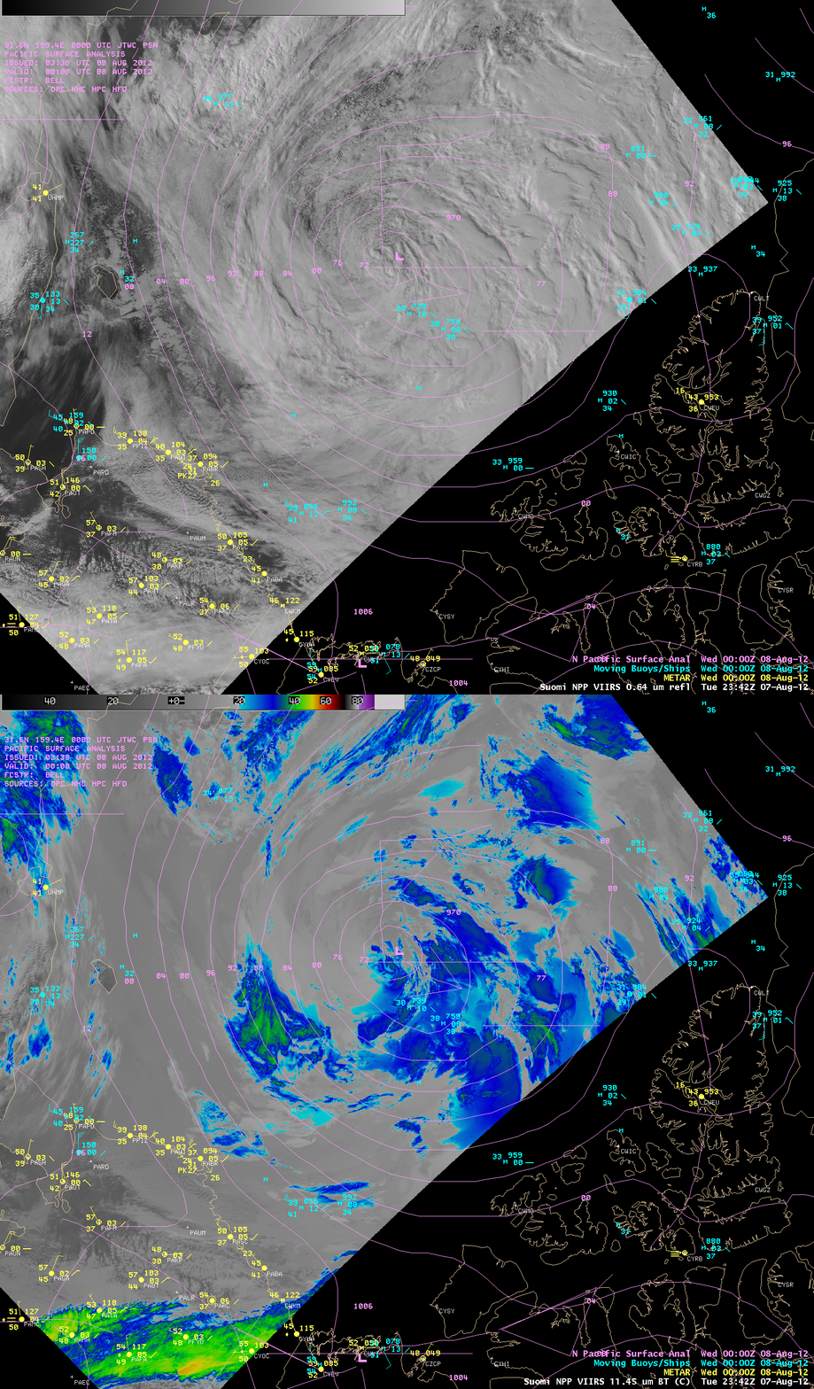
An unusually strong area of low pressure moved northward into the Arctic Ocean and intensified during the 05 August – 08 August 2012 time period — a storm this deep (965 hPa central pressure) is exceptional for the Arctic Ocean region, especially during the summer month of August. A comparison of AWIPS images of Suomi NPP VIIRS 0.64 µm visible channel and 11.45 µm IR channel images with an overlay of the surface pressure analysis (above) showed the cloud patterns associated with the storm around 00 UTC on 08 August.
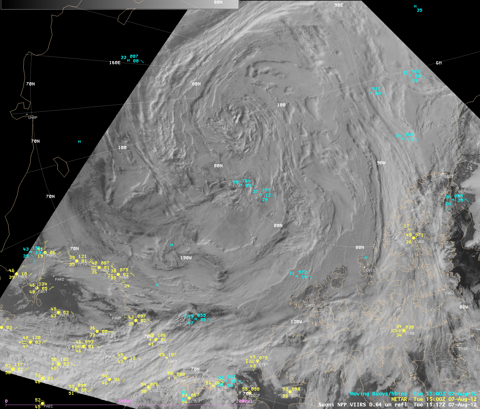
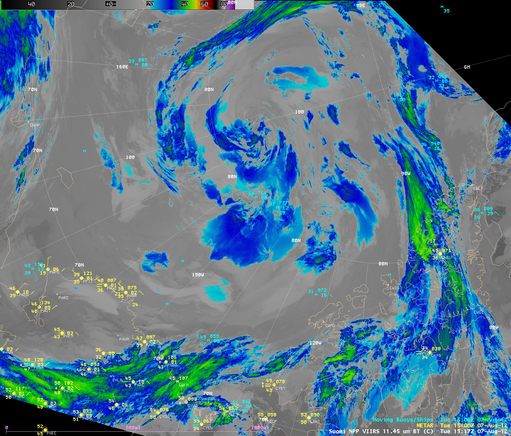
Animations of Suomi NPP VIIRS 0.64 µm visible channel images (above; click image to play animation) and 11.45 µm IR channel images (below; click image to play animation) showed the evolution of the storm over the Arctic Ocean during the 06 August – 08 August period.
McIDAS images of Terra MODIS 11.0 µm IR channel data (below; click image to play animation; images courtesy of Dave Santek, SSEC) showed the storm moving poleward during the 05 August – 08 August time period. Barrow, Alaska was in the warm sector of the storm on 05 August, and recorded a daily high temperature of 60º F (with a peak wind gust from the southwest at 41 mph). Two days later, strong cold air advection in the wake of the storm (with a peak westerly wind gust of 33 mph) kept the daily high temperature at Barrow down to 39º F.
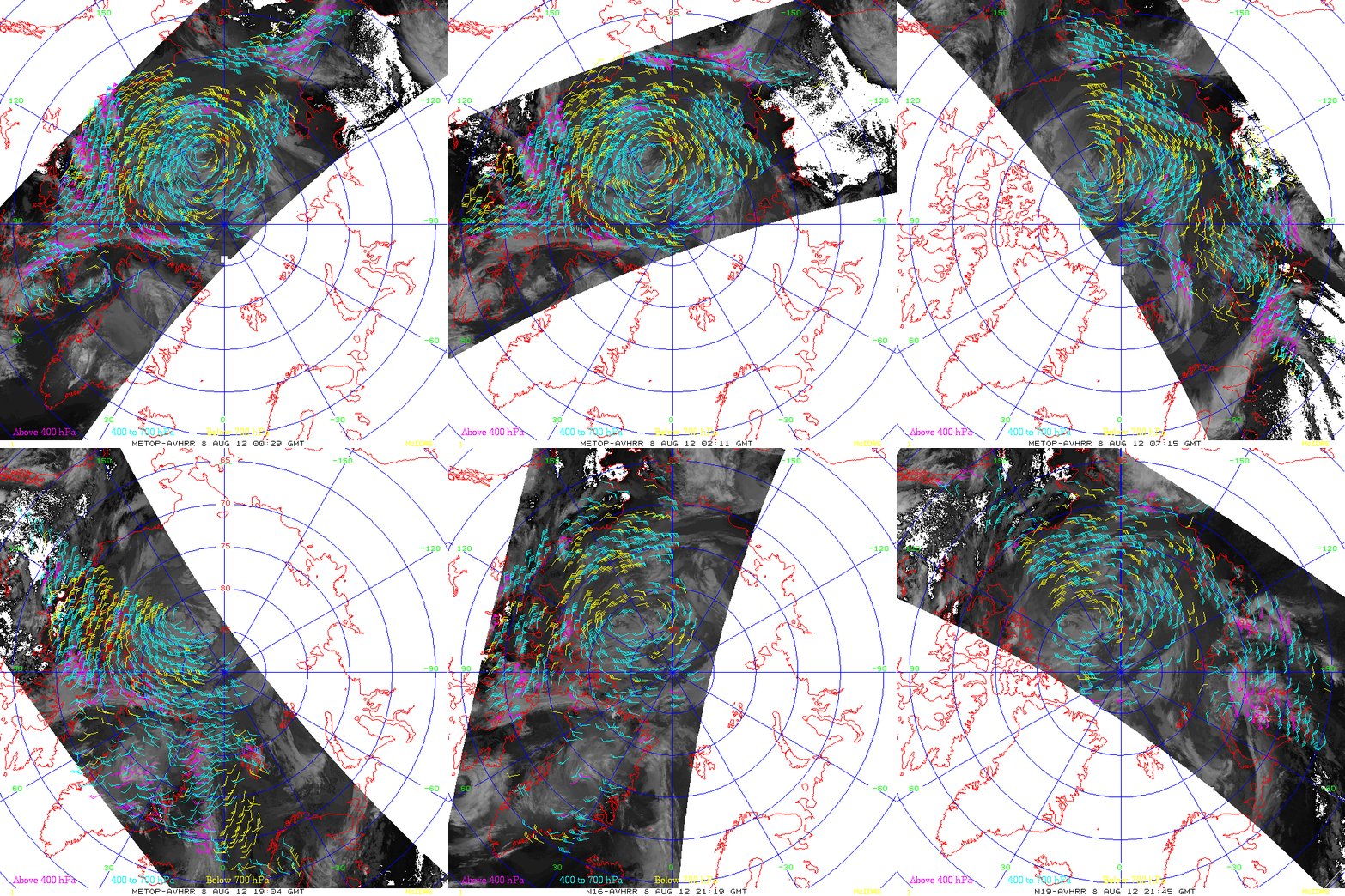
The circulation of the deep low could be easily identified using atmospheric motion vectors (cloud-tracked winds) derived from a variety of polar-orbiting satellites (below).


