MODIS true color and false color images from the SSEC MODIS Today site on 11 December 2009 (above) showed a nice view of the snow cover following the Upper Midwest blizzard of 08 December – 09 December 2009 — some details on the blizzard are available from the NWS forecast offices at Omaha NE, Minneapolis MN, Davenport IA, Milwaukee WI, and... Read More

MODIS true color and false color images
MODIS true color and false color images from the SSEC MODIS Today site on 11 December 2009 (above) showed a nice view of the snow cover following the Upper Midwest blizzard of 08 December – 09 December 2009 — some details on the blizzard are available from the NWS forecast offices at Omaha NE, Minneapolis MN, Davenport IA, Milwaukee WI, and Green Bay WI. On the false color image, snow appears as shades of cyan (in contrast to supercooled water droplet clouds, which appear as brighter white features). The maximum snow depths across the region at the time of these MODIS images included 32 inches in the Upper Peninsula of Michigan, 18 inches in southern Wisconsin, 17 inches in northern Lower Michigan, 16 inches in Iowa, 12 inches in southern Minnesota, and 10 inches in northern Illinois.
Besides the large lake-effect cloud bands streaming across Lake Superior and Lake Michigan, some other interesting features to note are the smaller lake-effect cloud plumes streaming eastward off the many still-unfrozen lakes in southern Ontario, Canada (northwest of Lake Superior), and also the narrow streaks of snow on the ground across parts of Illinois and Indiana (south of Lake Michigan).

GOES-14 visible images
McIDAS images of the GOES-14 visible channel (above) showed the evolution of the lake-effect cloud bands over Lake Superior. As part of the ongoing NOAA Science Test, GOES-14 was in Rapid Scan Operations mode on 11 December, supplying imagery at 5-minute intervals. One of the more organized cloud bands had formed across the southwestern portion of Lake Superior, and was moving onshore along the Keweenaw Peninsula of Upper Michigan — this band produced lake-effect snowfall amount of 12 inches at Eagle River and 13 inches at Twin Lakes.

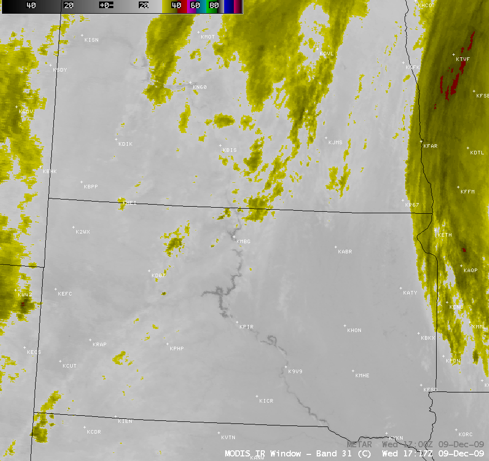
AVHRR visible, 10.8 µm IR, and 3.7 µm IR images
AWIPS images of the AVHRR visible, 10.8 µm IR window, and 3.7 µm shortwave IR channels (above) indicated that many of the lake-effect cloud bands over Lake Superior exhibited 10.8 µm IR brightness temperatures of -20º to -30º C (cyan to darker blue color enhancement), suggesting a possible transition from supercooled water droplets to ice crystal glaciation. However, since many of the bands exhibited a rather warm appearance on the 3.7 µm shortwave IR image (darker gray enhancement) due to reflection of solar radiation off the tops of supercooled water droplet clouds, it appeared that most of the cloud bands had not yet fully glaciated.
 images")
MODIS Red/Green/Blue (RGB) images
Finally, a larger-scale view with MODIS false-color Red/Green/Blue (RGB) images created using the visible channel, the 2.1 µm near- IR “snow/ice” channel, and the 11.0 µm IR window channel (above) shows a glimpse at the type of RGB capability that will be available with the upcoming AWIPS-2 software. In these particular RGB images, the snow cover appears as varying shades of magenta to blue (depending on the density of trees), while supercooled water droplet clouds are brighter white. Ice crystal clouds also appear as magenta-colored features. Bare ground shows up as varying shades of green.
View only this post
Read Less


 image")


 image")

