Flooding in North Dakota, Minnesota and South Dakota
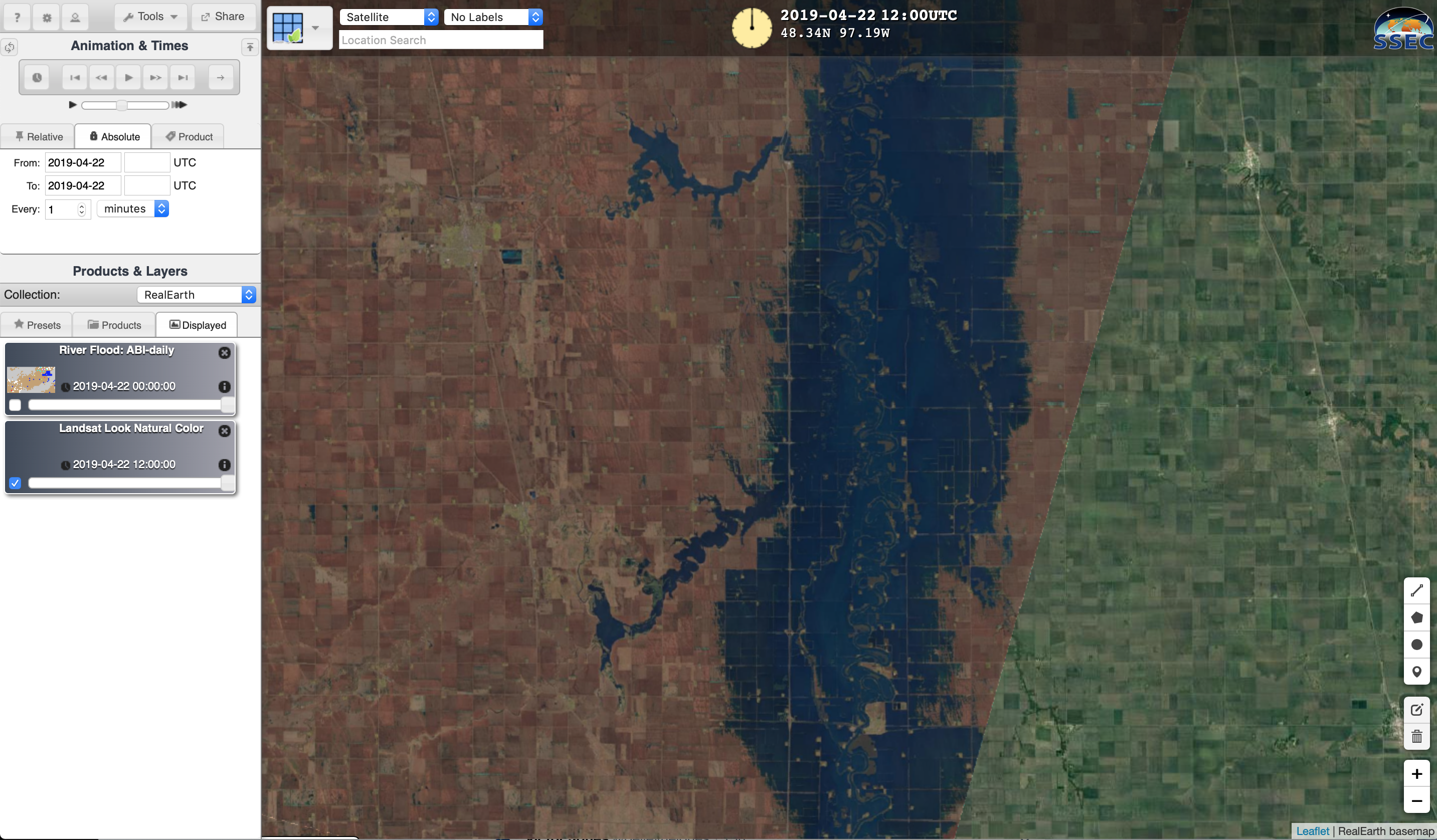
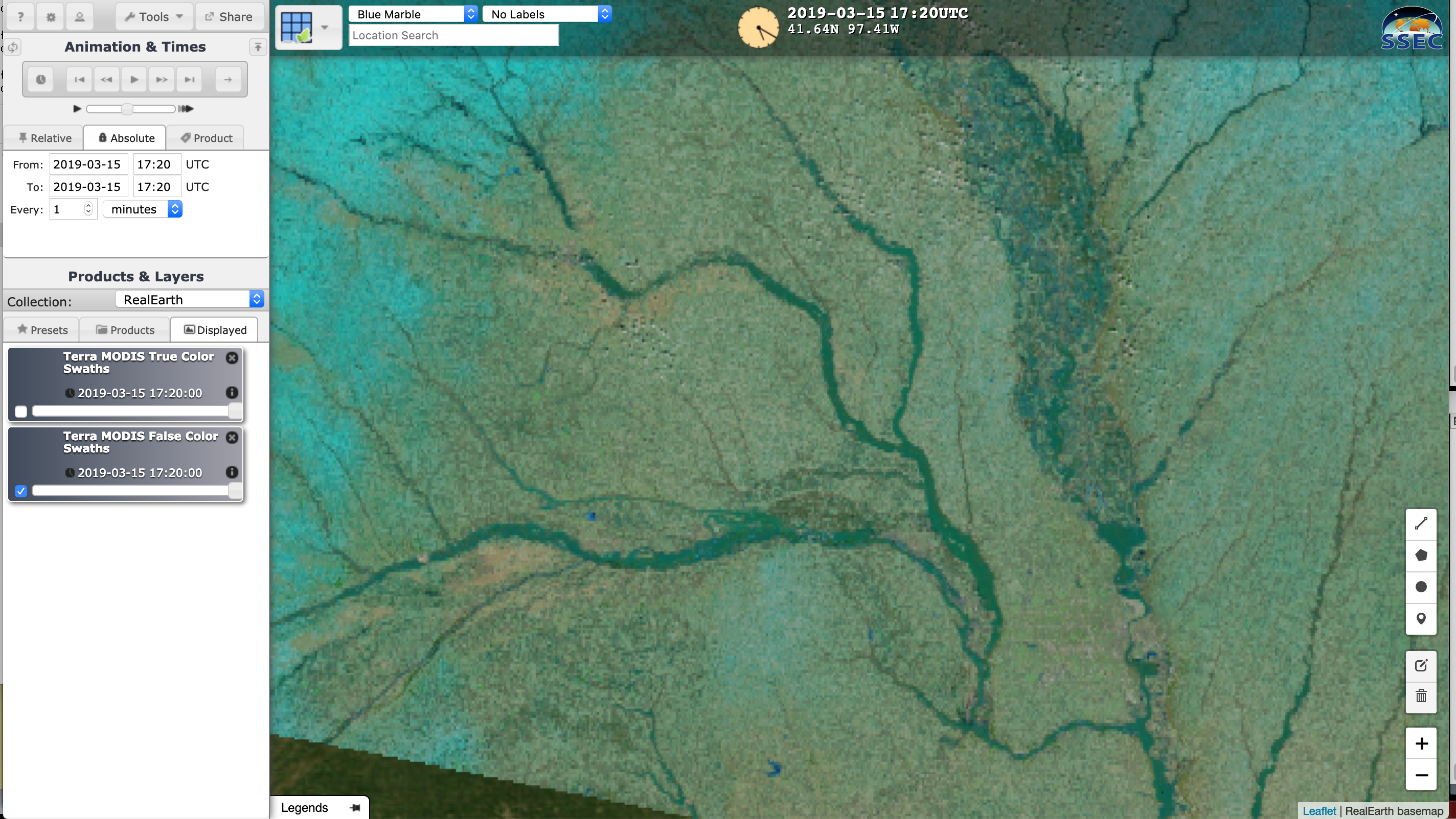
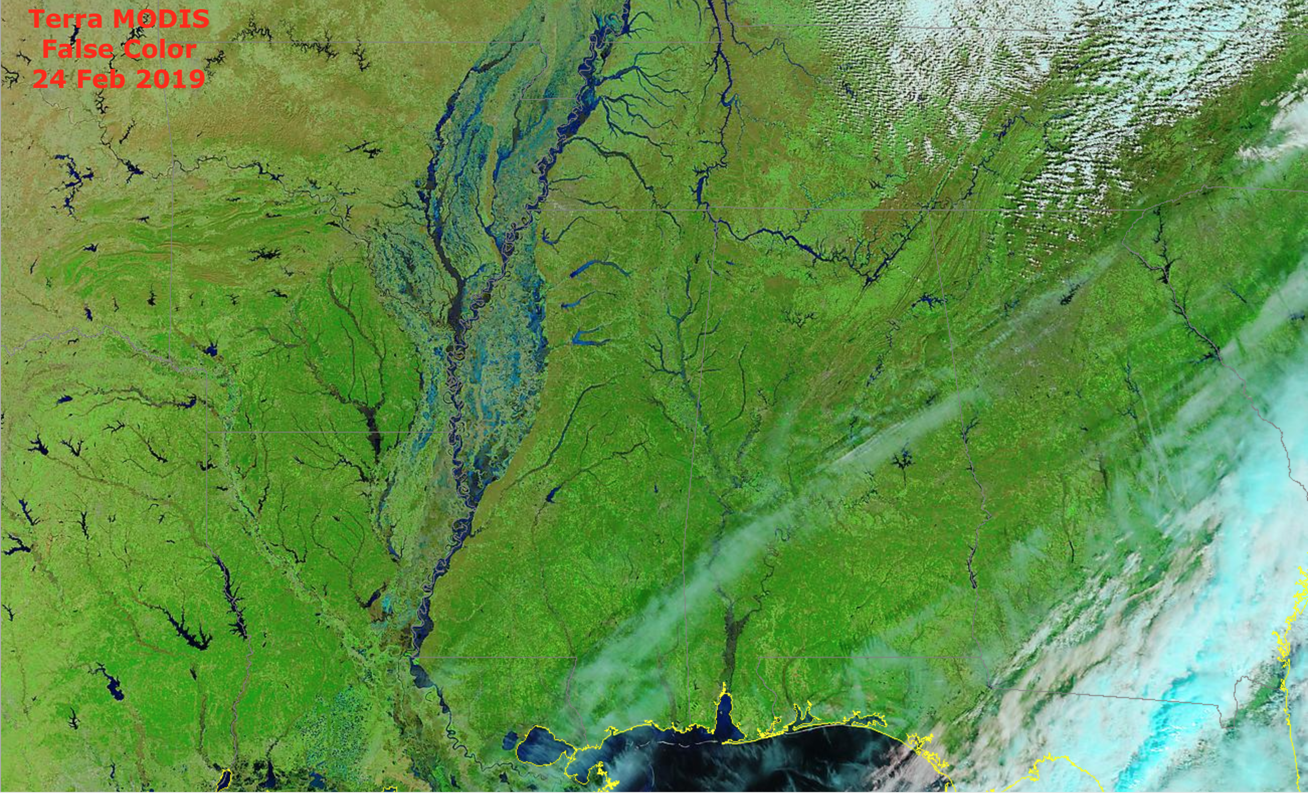
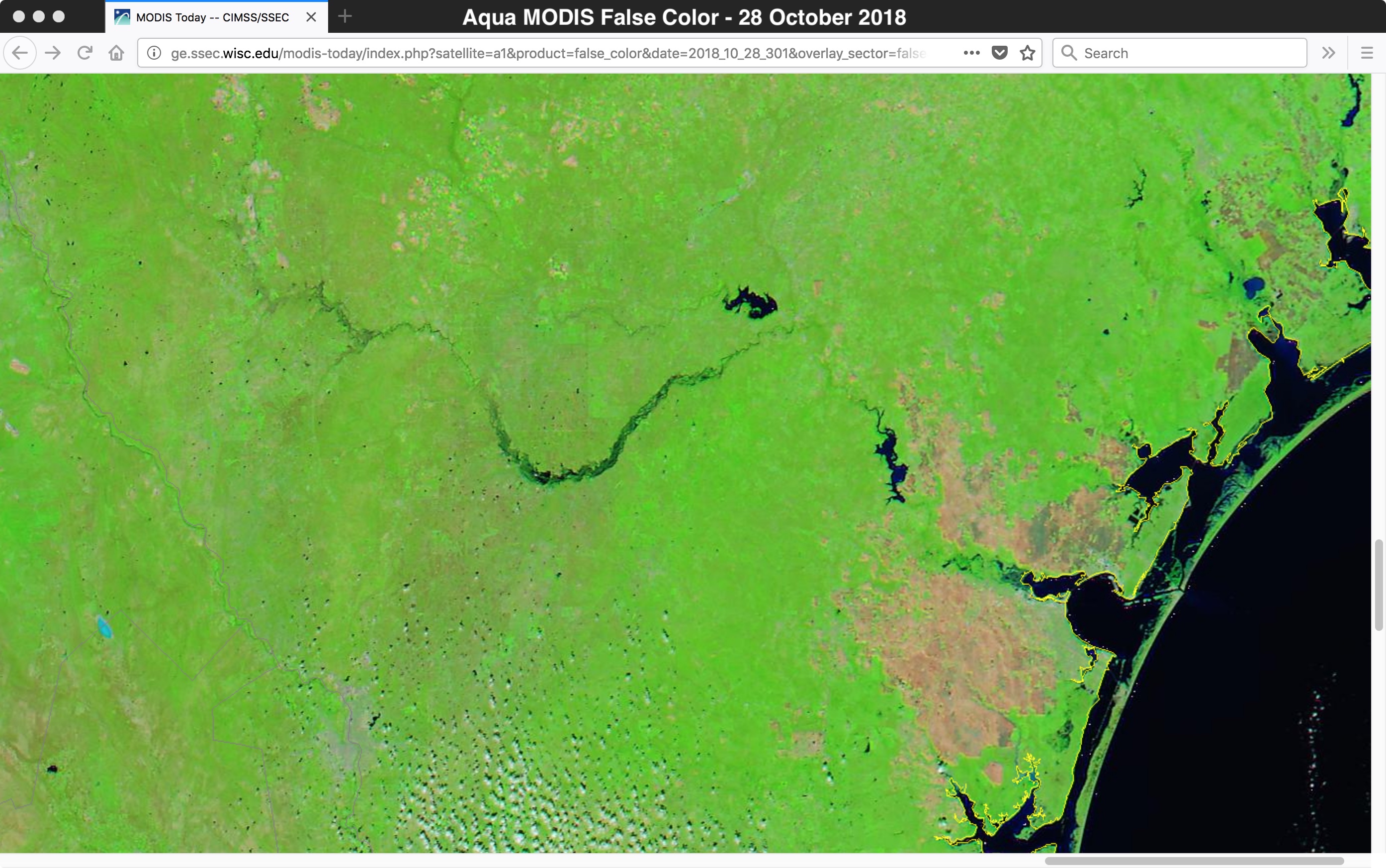
Comparison of a Landsat-8 False Color Red-Green-Blue (RGB) image with the corresponding GOES-16 ABI Flood Detection product as viewed using RealEarth (above) showed the extent of flooding along the Red River of the North (which forms the border of North Dakota and Minnesota, and flows northward into Manitoba) on 22 April 2019. The Red... Read More
