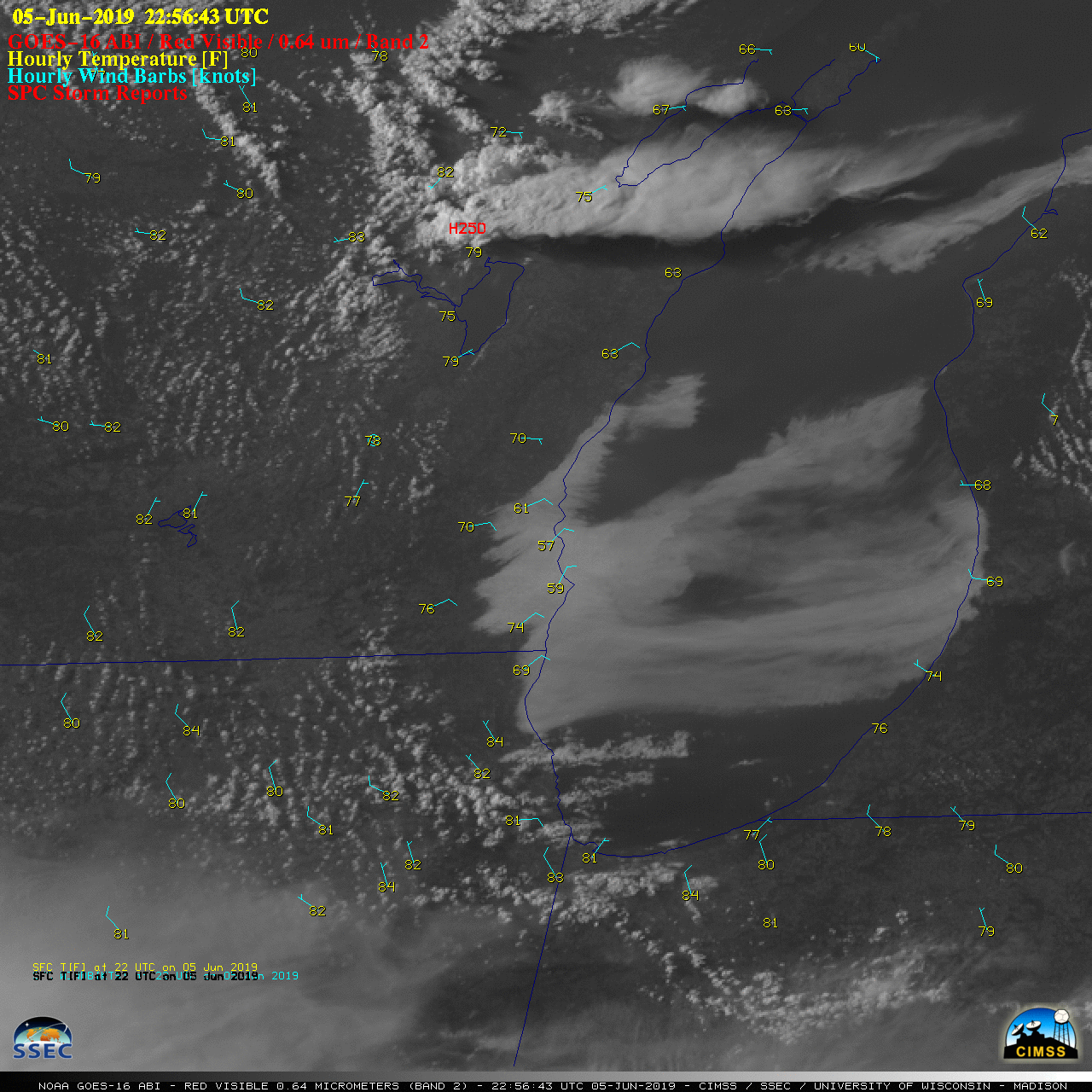
![GOES-16 “Red” Visible (0.64 µm) images, with hourly surface wind barbs plotted in cyan, temperatures plotted in yellow and SPC Storm Reports plotted in red [click to play animation | MP4]](https://cimss.ssec.wisc.edu/satellite-blog/wp-content/uploads/sites/5/2019/06/190605_goes16_visible_Lake_Michigan_anim.gif)
GOES-16 “Red” Visible (0.64 µm) images, with hourly surface wind barbs plotted in cyan, temperatures plotted in yellow and SPC Storm Reports plotted in red [click to play animation | MP4]
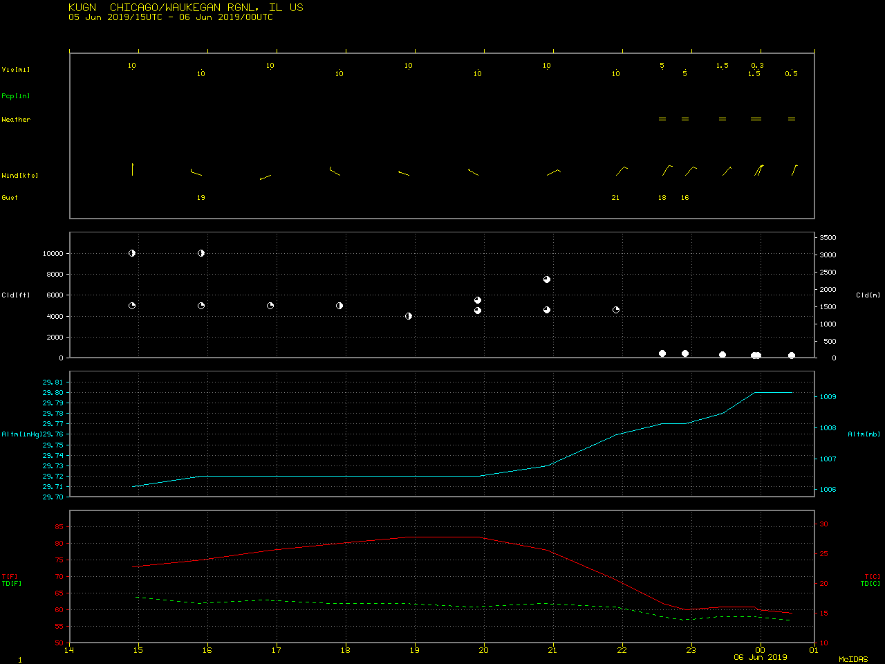
The lake breeze also caused sharp drops in surface air temperature — from low 80s to middle 50s F — along with fog reducing visibility to 0.5 mile or less at Milwaukee and Racine in southeastern Wisconsin (below). The arrival of lake breeze fog also restricted the visibility to 0.5 mile or less at Waukegan in northeastern Illinois.
![Time series plot of surface reports from Milwaukee Mitchell International Airport [click to enlarge]](https://cimss.ssec.wisc.edu/satellite-blog/wp-content/uploads/sites/5/2019/06/190605_KMKE_SFCMG.GIF)
Time series plot of surface report data from Milwaukee Mitchell International Airport [click to enlarge]
![Time series plot of surface reports from Racine Batten International Airport [click to enlarge]](https://cimss.ssec.wisc.edu/satellite-blog/wp-content/uploads/sites/5/2019/06/190605_KRAC_SFCMG.GIF)
Time series plot of surface report data from Racine Batten International Airport [click to enlarge]
View only this post Read Less
![GOES-16 “Red” Visible (0.64 µm) images, with hourly surface wind barbs plotted in cyan [click to play animation | MP4]](https://cimss.ssec.wisc.edu/satellite-blog/wp-content/uploads/sites/5/2019/06/190605_goes16_visible_surfaceWinds_TX_anim.gif)
![850 hPa Relative Vorticity product, from 00 UTC on 02 June to 00 UTC on 06 June 2019 [click to play animation]](https://cimss.ssec.wisc.edu/satellite-blog/wp-content/uploads/sites/5/2019/06/190602_190605_850hPaRelativeVorticity_Invest91L_anim.gif)
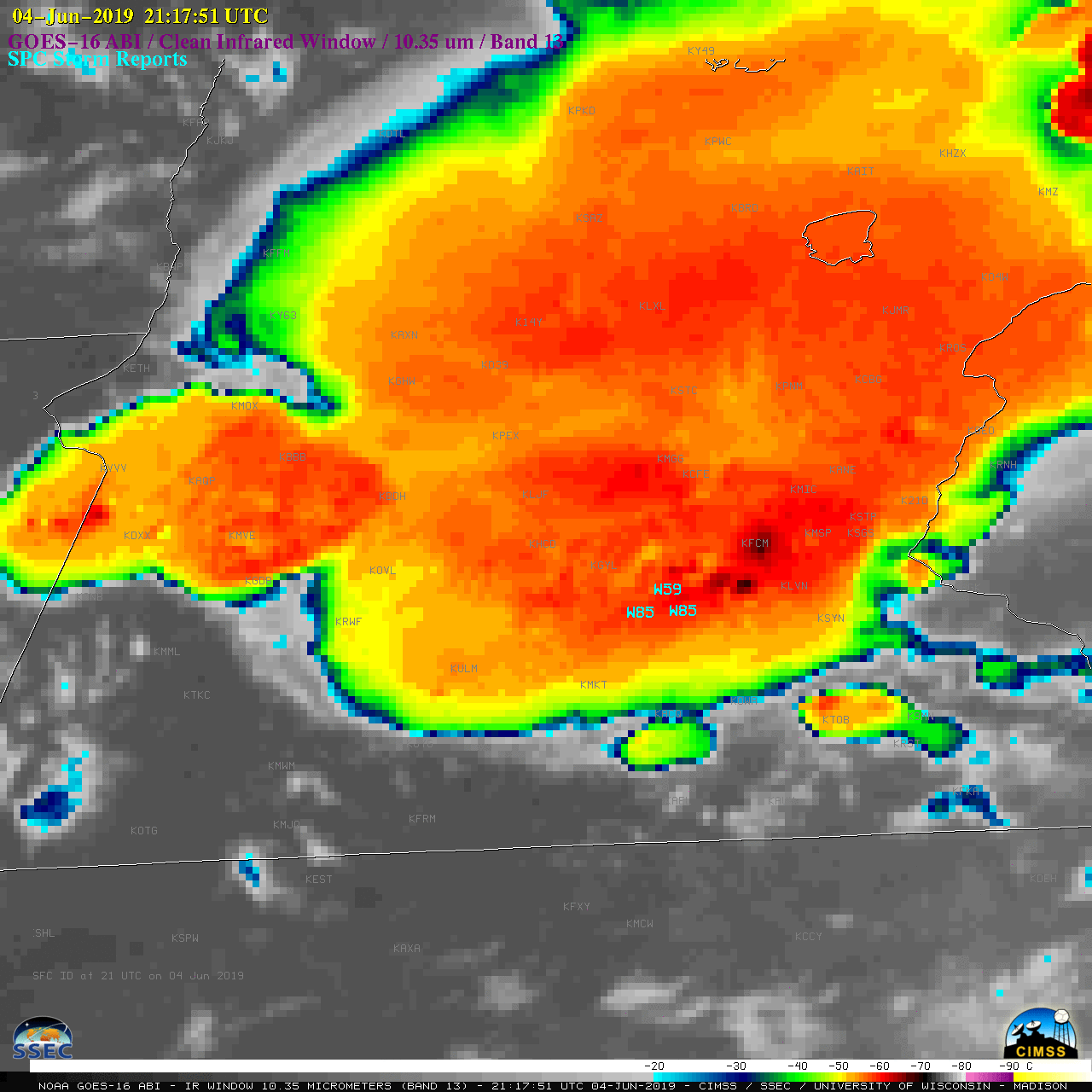
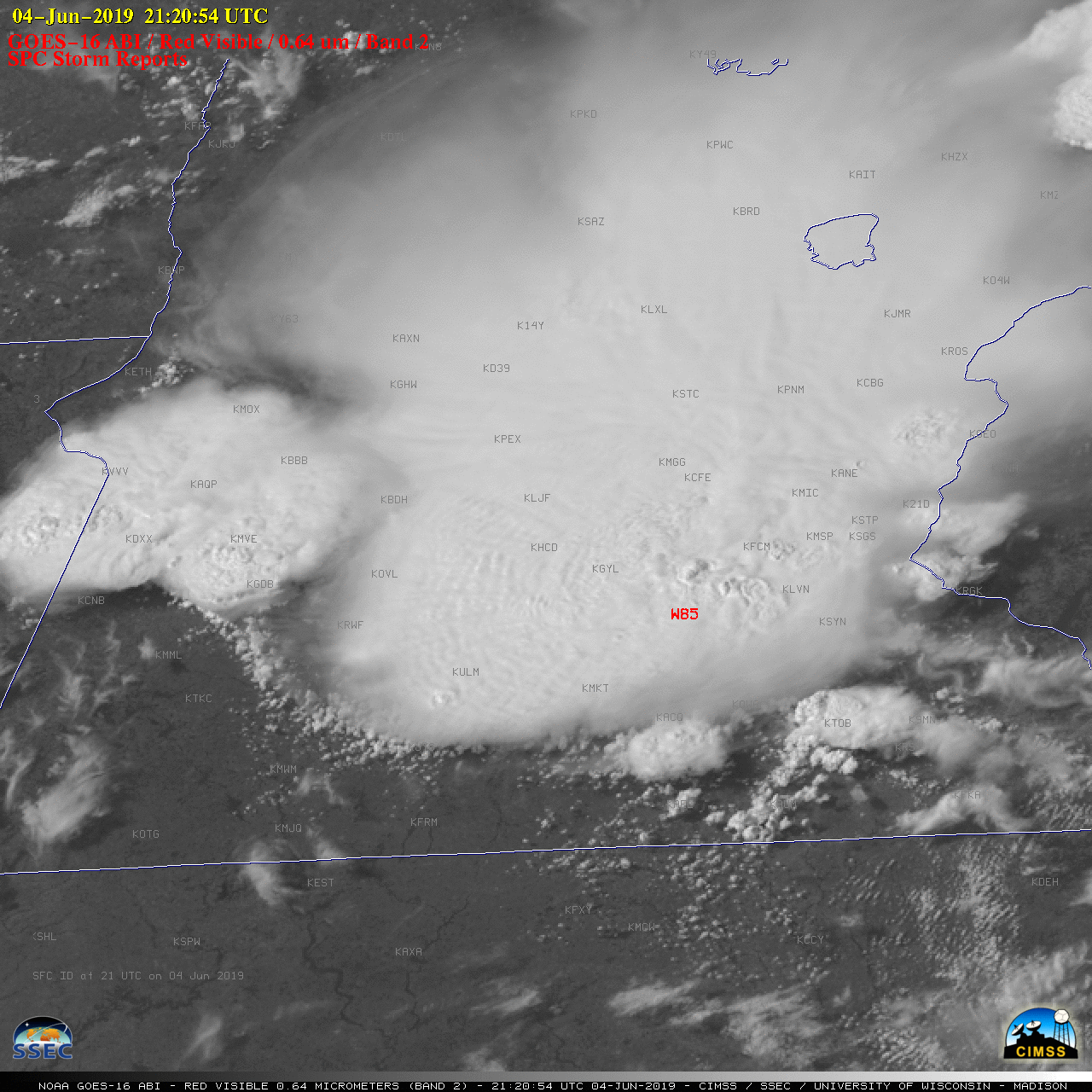
![GOES-16 “Red” Visible (0.64 µm) images, with SPC Storm Reports plotted in red [click to play animation | MP4]](https://cimss.ssec.wisc.edu/satellite-blog/wp-content/uploads/sites/5/2019/06/190604_goes16_visible_spcStormReports_MN_anim.gif)
![GOES-16 “Clean” Infrared Window (10.35 µm) images, with SPC Storm Reports plotted in cyan [click to play animation | MP4]](https://cimss.ssec.wisc.edu/satellite-blog/wp-content/uploads/sites/5/2019/06/190604_goes16_infrared_spcStormReports_MN_anim.gif)
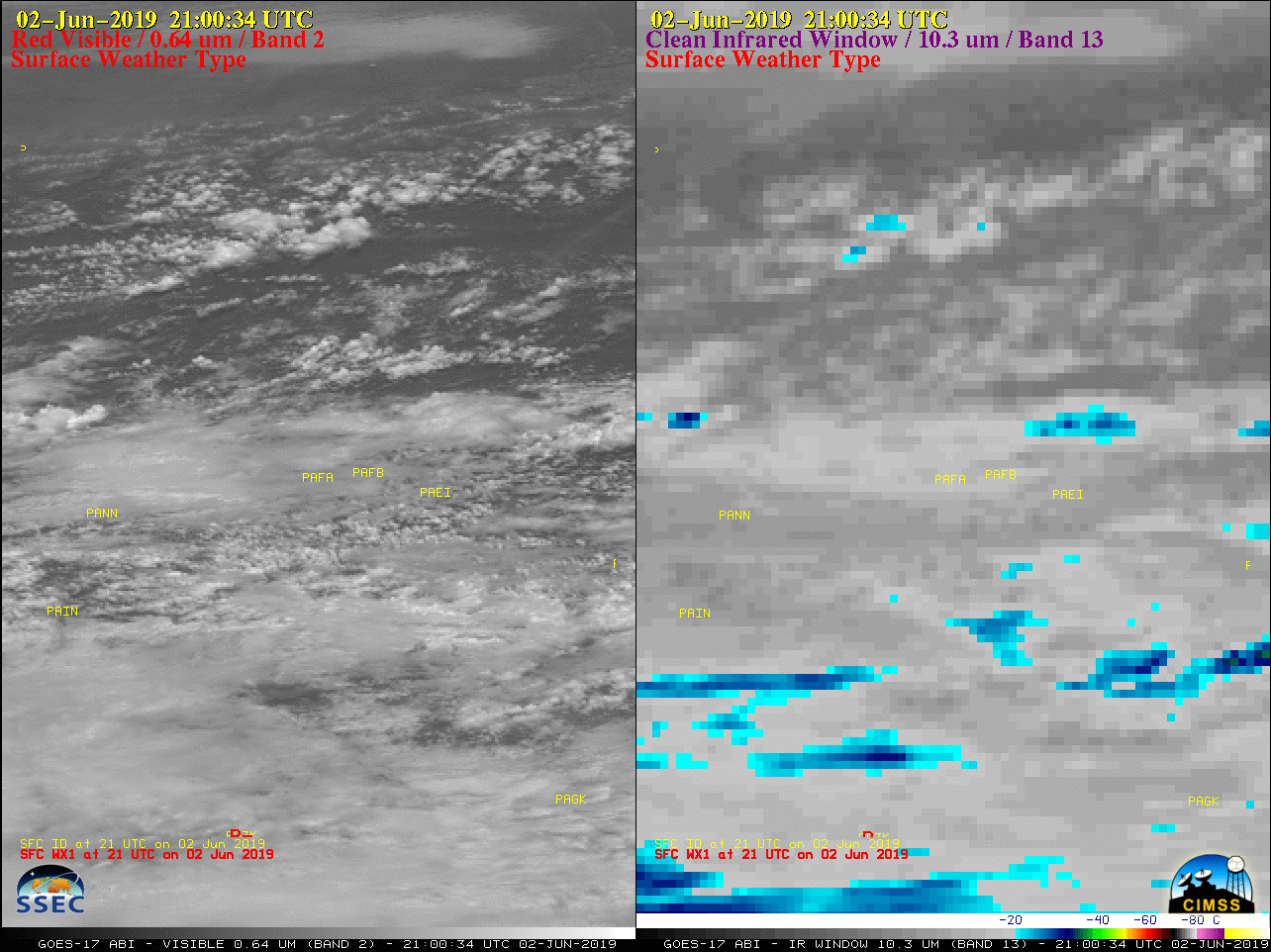
![Time series of surface report data from Fairbanks International Airport [click to enlarge]](https://cimss.ssec.wisc.edu/satellite-blog/wp-content/uploads/sites/5/2019/06/190602_PAFA_SFCMG.GIF)
