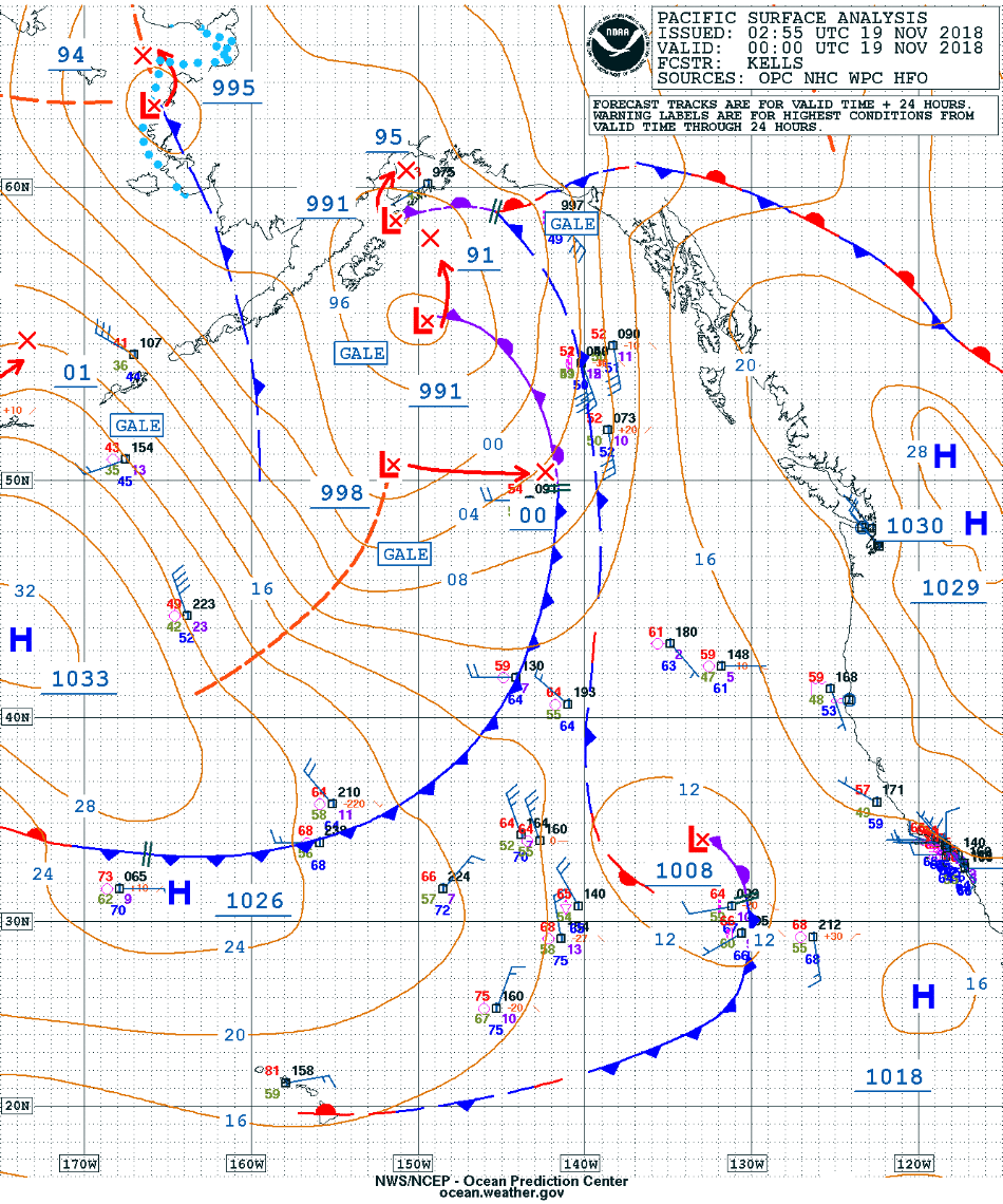
Gale-force low in the Gulf of Alaska
![GOES-17 Low-level (7.3 µm, left), Mid-level (6.9 µm, center) and Upper-level (6.2 µm, right) Water Vapor images [click to play animation | MP4]](https://cimss.ssec.wisc.edu/satellite-blog/wp-content/uploads/sites/5/2018/11/181119_goes17_waterVapor_Alaska_anim.gif)
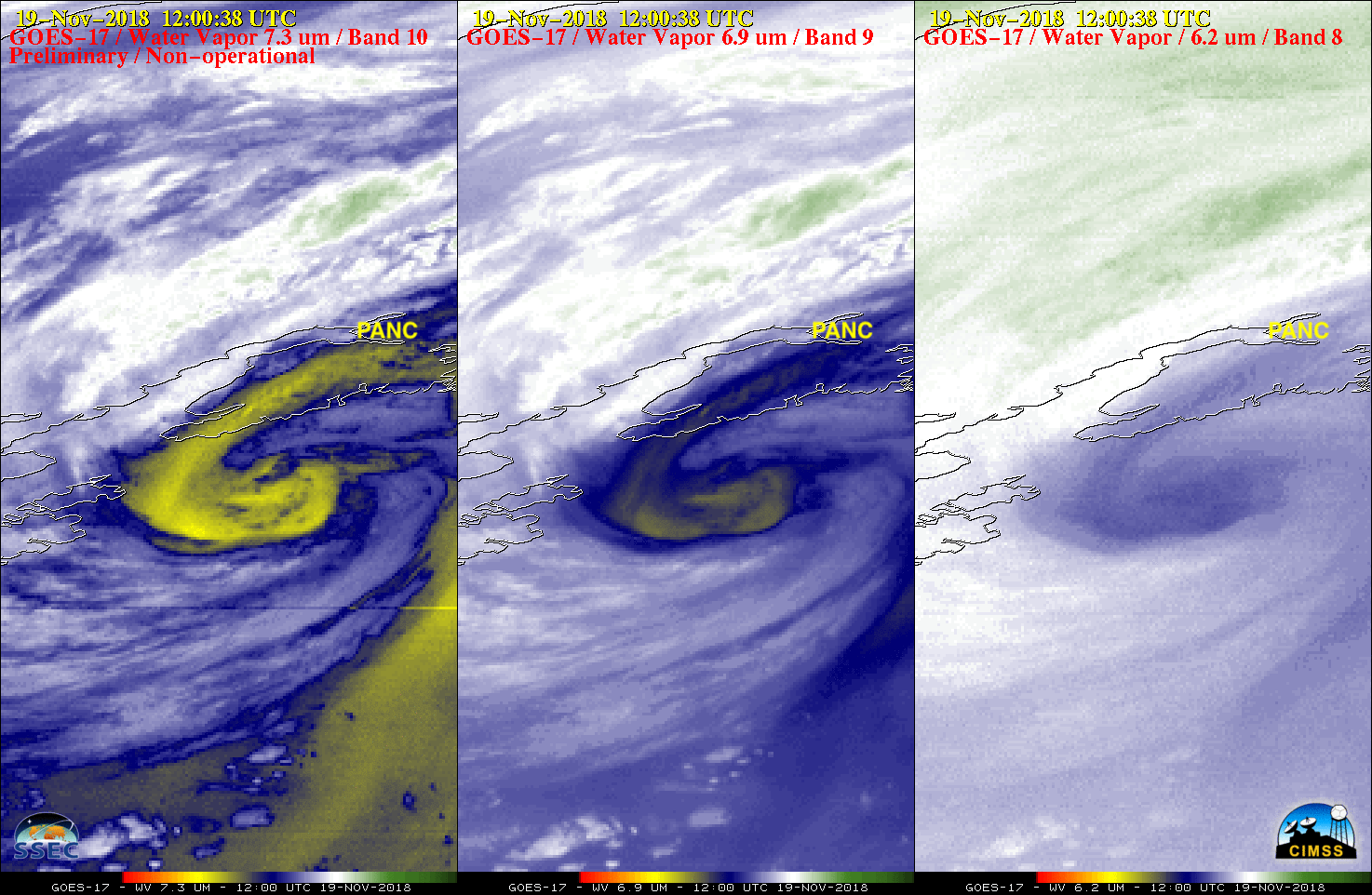
GOES-17 Low-level (7.3 µm, left), Mid-level (6.9 µm, center) and Upper-level (6.2 µm, right) Water Vapor images [click to play animation | MP4]
* GOES-17 images shown here are preliminary and non-operational *
GOES-17 Low-level (7.3 µm), Mid-level (6.9 µm) and Upper-level (6.2 µm) Water Vapor images (above) showed the circulation associated with an occluded gale-force low in the Gulf of Alaska (surface analyses) which moved northward to a position just south of the Kenai Peninsula on 19 November 2018.
The 3 GOES-17 ABI Water Vapor bands sample radiation from different layers within the troposphere — the height and depth of these individual layers varies with changes in (1) the temperature/moisture profile of the atmosphere and (2) the satellite viewing angle (or zenith angle). The 3 water vapor weighting functions — calculated using 12 UTC rawinsonde data from Anchorage (PANC) — provide information on the height and depth of the radiating layers in the vicinity of the storm (below).
![GOES-17 Water Vapor weighting function plots for Anchorage, Alaska [click to enlarge]](https://cimss.ssec.wisc.edu/satellite-blog/wp-content/uploads/sites/5/2018/11/181119_12utc_anc_waterVapor_weightingFunctions.png)
GOES-17 Water Vapor weighting function plots for Anchorage, Alaska [click to enlarge]