
This blog author loves posting about the seasons! They provide the opportunity to post some awesome full disk GOES images, but there’s more than that. The passing of the seasons has always been marked by humans, sometimes because of agricultural significance, spiritual significance, community bonding, or simply to mark time. The fall (or autumnal) equinox marks the time when the sun is directly above the equator, as we transition seasons from summer to fall in the northern hemisphere (and it’s going from spring to summer in the southern hemisphere). This year the fall equinox is September 22, 2025. It can be seen in GOES visible band imagery at satellite sunrise or sunset where the terminator (the dividing line between night and day) is aligned perfectly north & south in the middle of a full disk visible band image. For the people in the northern hemisphere, the autumnal equinox marks the end of summer and the beginning of autumn, which lasts until the winter solstice (around December 21 or 22). This is the astronomical definition of the changing of seasons as the tilt of the earth on its axis will lead to summer in the southern hemisphere as we head into winter up here in the northern hemisphere.
Sunset and sunrise time-lapse animations from space (below) show the progression of the terminator from spring equinox, through summer solstice, to fall equinox from the satellite’s point of view. For these times of day the disk is “half” illuminated so the terminator formed by the shadow of the night-side of earth is easy to track. GOES-East sits over the equator above 75 West (which is in Columbia, near where the borders of Peru, Ecuador, and Columbia meet) and GOES-West sits over the equator above 137 West (which is out in the Pacific Ocean away from any major land masses – maybe the closest thing is French Polynesia, 680 miles to the southwest; and for reference, Hawaii is over 1700 miles to the northwest of the GOES-West subpoint). These two views provide coverage of nearly two thirds of the earth and so in addition to the terminator you can see some of the things that affected life across our hemisphere from major storm systems to smoke and dust. Technically sunrise, sunset, and local noon vary from day to day, but these animations use a consistent time every day that is close to sunrise, sunset, or noon.
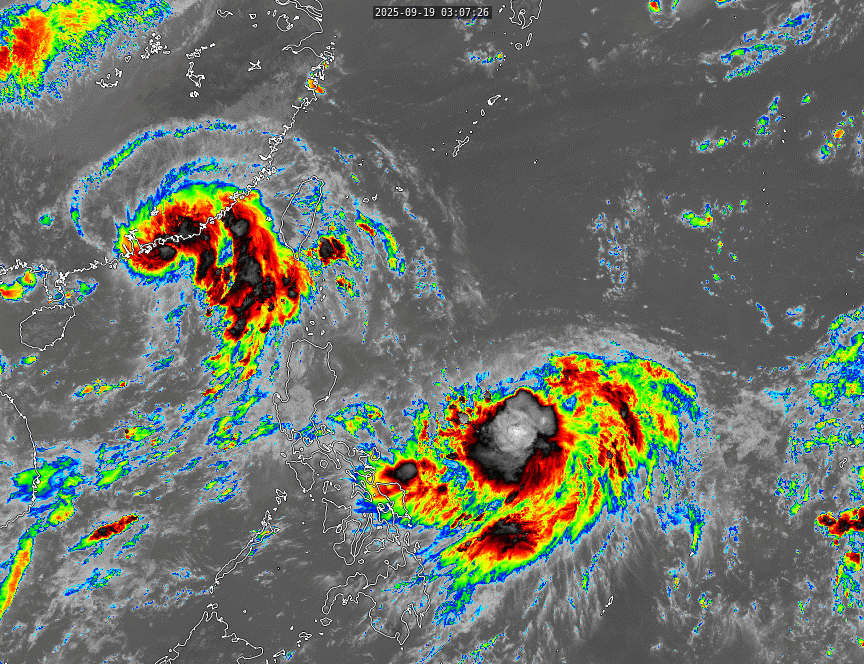
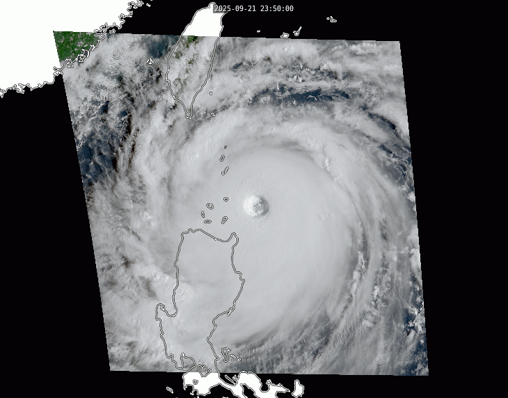
In this GOES-19 (GOES-East) animation in addition to seeing the terminator progress from equinox to summer solstice and back to equinox, there are multiple tropical storms visible, including Hurricane Erin in mid-August and Hurricane Gabrielle in the last few frames. One can also observe dust blowing off the African continent and the reflection of the sun migrating north from the equator and then back south to the equator.
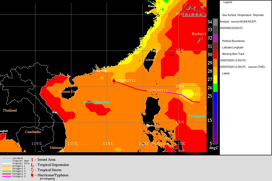
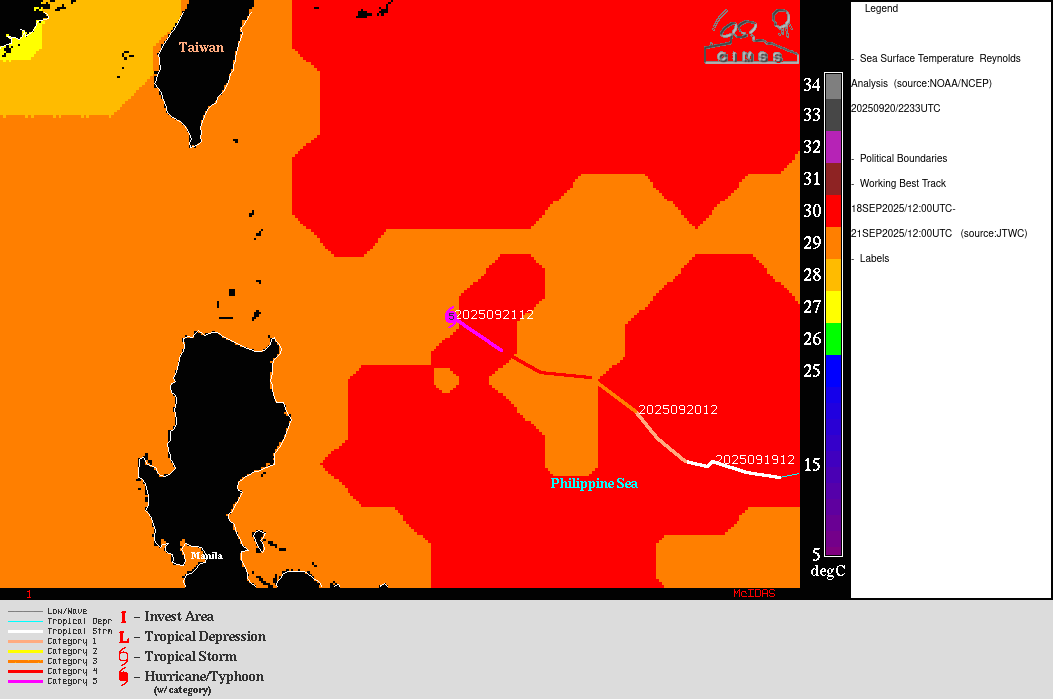
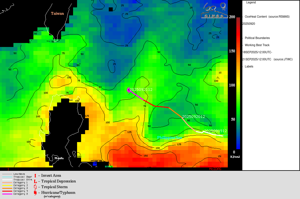
In this GOES-18 (GOES-West) animation there are also multiple tropical storms visible. There have been 8 tropical storms and 8 hurricanes this year so far in the east Pacific, some of which caused major flooding in parts of Mexico. There was also plenty of wildfire smoke mixed in with the clouds over Canada and the northern half of the US during summer 2025, affecting air quality across wide areas of both countries.
In this GOES-18 (GOES-West) animation of local noon the seasonal transitions may be more difficult to spot. As the northern hemisphere transitions from spring equinox, through summer, to fall equinox, the earth’s tilt puts the southern hemisphere away from the sun. This can be seen at the bottom of these images at the south pole as it gradually gets darker and darker until the solstice (June 21) and then starts to get light again. That’s winter in Antarctica and there are days where it just stays dark all day for those scientists and support staff that work down there through their winter. Some of the tropical storms and hurricanes may be easier to watch in this animation as the whole disk is as well-illuminated as it gets at satellite noon.
This GOES-19 (GOES-East) animation is similar to the previous one, but now at sunset for the satellite (23:00 UTC).
View only this post Read Less


