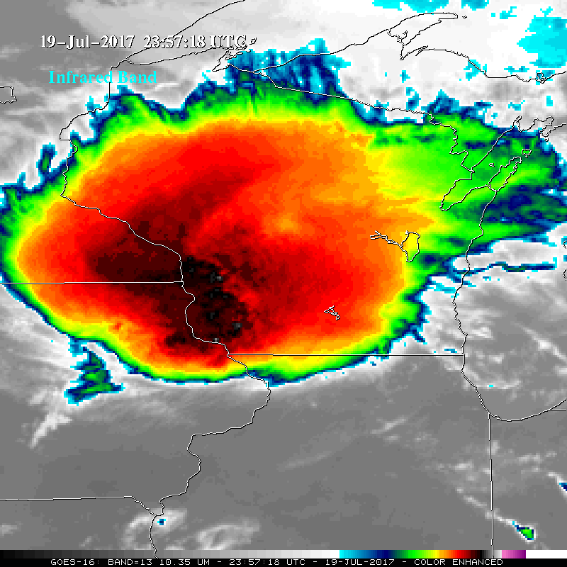
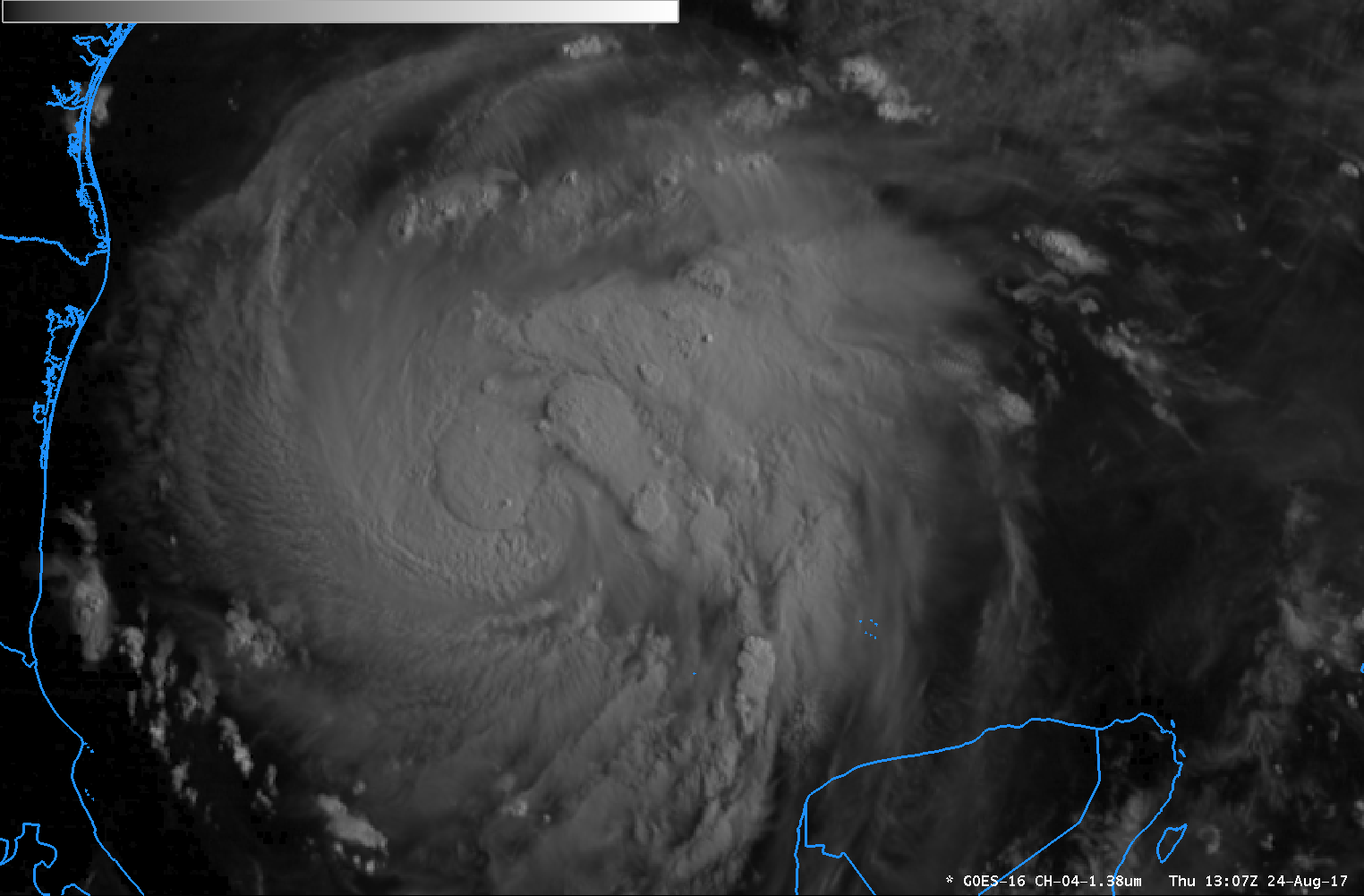
Mesoscale Convective System along the Gulf Coast region
A large Mesoscale Convective System (MCS) developed ahead of a slow-moving cold front and moved over the Gulf Coast region of the US on 29 April – 30... Read More
Kudos to Russ Dengel of the SSEC RealEarth web map server development team for spotting this: a relatively cloud-free overpass of the Landsat-8 satellite which revealed the site of the massive landslide/mudslide near the small town... Read More
McIDAS images of EUMETSAT Meteosat-10 0.635 µm visible channel data (above; click image to play animation) showed the cloud structure associated with a powerful midlatitude cyclone that was moving northeastward toward the British Isles on 04 February 2014. This storm — the latest in a series of intense... Read More
Winter Storm Xaver (EUMETSAT Image Library) affected much of northern Europe on 05 December 2013, causing widespread power outages, storm surge flooding, and adverse impacts to transportation in several countries. As many as nine deaths have been blamed on the storm. Many areas experienced hurricane-force winds,... Read More