Severe thunderstorms in the Northeast US
We issued 7 Tornado Warnings today, the most we’ve ever issued in a single day or even a whole year until now! #mewx #nhwx pic.twitter.com/x8set1XxOi
— NWS Gray (@NWSGray) July 2, 2017
* GOES-16 data posted on this page are preliminary, non-operational data and are undergoing testing *
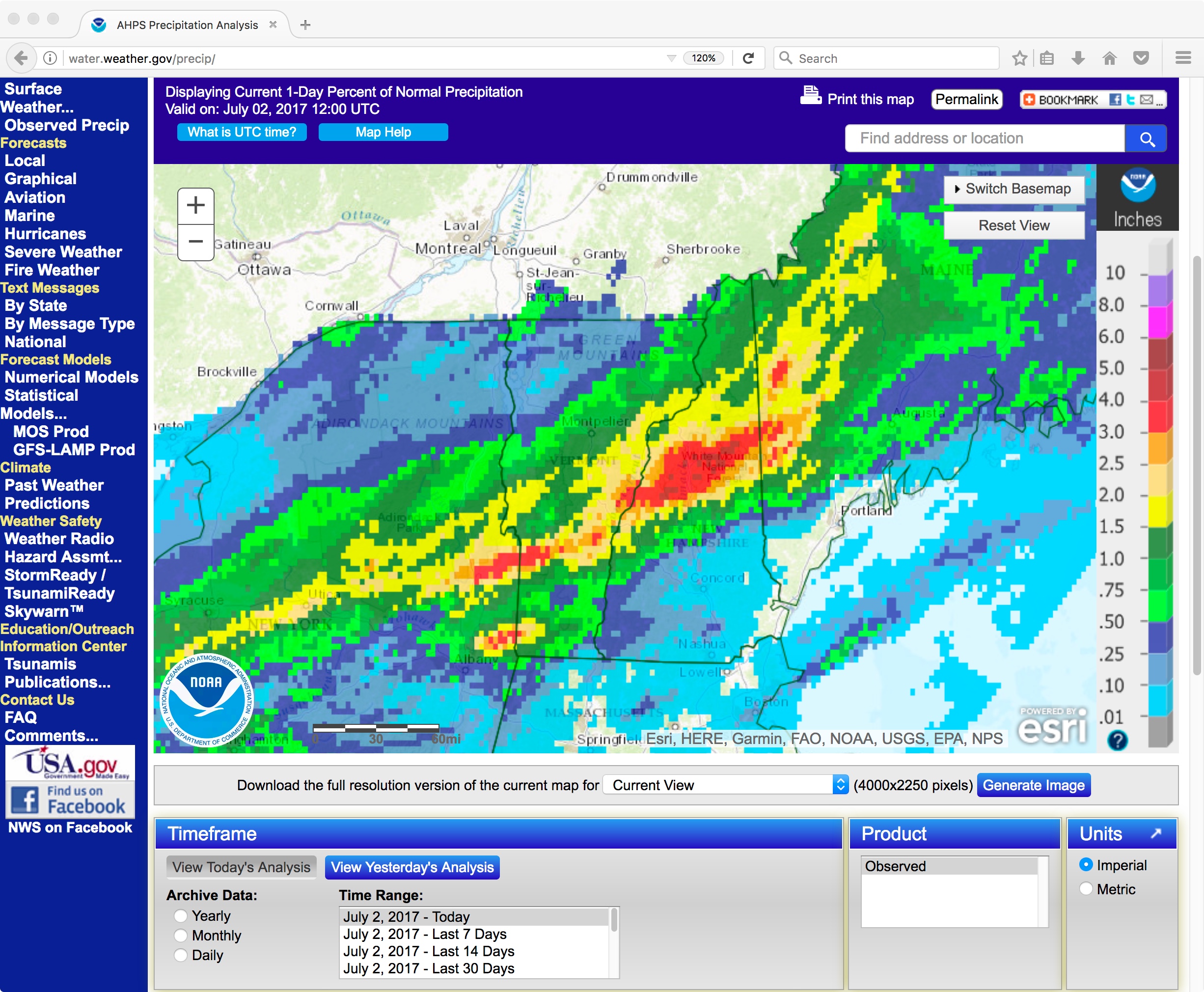
As noted in the Tweet above from NWS Gray/Portland ME, a record number of tornado warnings were issued by that office on 01 July 2017. According to their damage surveys, the tornadoes were rated EF-0 to EF-1, with some straight-line wind damage also seen. GOES-16 “Red” Visible (0.64 µm) and “Clean” Infrared Window (10.3 µm) images with plots of SPC storm reports (below; also available as a 98-Mbyte animated GIF) displayed the overshooting tops and colder cloud-top infrared brightness temperatures associated with some of the thunderstorms. Note the significant offset between cloud-top features and storm reports — this is due to parallax from the large viewing angle of the GOES-16 satellite (which is positioned over the Equator at 105º West longitude).
![GOES-16 Visible (0.64 µm, top) and Infrared Window (10.3 µm, bottom) images, with plots of SPC storm reports in red on Visible, and in black on Infrared [click to play MP4 animation]](https://cimss.ssec.wisc.edu/satellite-blog/wp-content/uploads/sites/5/2017/07/G16_VIS_IR_NH_ME_01JUL2017_480x1280_B213_2017182_222226_0002PANELS.GIF)
GOES-16 Visible (0.64 µm, top) and Infrared Window (10.3 µm, bottom) images, with plots of SPC storm reports in red on Visible, and in black on Infrared [click to play MP4 animation]
![Suomi NPP VIIRS Visible (0.64 µm) and Infrared Window (11..45 µm) images [click to enlarge]](https://cimss.ssec.wisc.edu/satellite-blog/wp-content/uploads/sites/5/2017/07/170701_1744utc_suomi_npp_viirs_visible_infrared_Northeast_US_anim.gif)
Suomi NPP VIIRS Visible (0.64 µm) and Infrared Window (11..45 µm) images [click to enlarge]
![Blended Total Precipitable Water product [click to enlarge]](https://cimss.ssec.wisc.edu/satellite-blog/wp-content/uploads/sites/5/2017/07/Blended_TPW_20170701_1641utc_2051utc_anim.gif)
Blended Total Precipitable Water product [click to enlarge]
![Blended Total Precipitable Water Percent of Normal product [click to enlarge]](https://cimss.ssec.wisc.edu/satellite-blog/wp-content/uploads/sites/5/2017/07/Pct_of_Normal_TPW_20170701_1641utc_2051utc_anim.gif)
Blended Total Precipitable Water Percent of Normal product [click to enlarge]
![MIMIC Total Precipitable Water product [click to play animation]](https://cimss.ssec.wisc.edu/satellite-blog/wp-content/uploads/sites/5/2017/07/170701_mimic_tpw_Northeast_US_anim.gif)
MIMIC Total Precipitable Water product [click to play animation]