Tropical Storm Bret

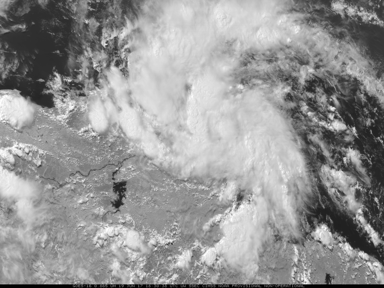
GOES-16 “Veggie” Band (0.86 µm) animation of Tropical Storm Bret, 1545-2030 UTC on 19 June 2017 (Click to animate)
GOES-16 data posted on this page are preliminary, non-operational data and are undergoing testing.
The fast-moving tropical system in the southern Caribbean Sea has developed a closed circulation and has been named Bret. Tropical Storm Bret, shown above in an animation of GOES-16 Near-Infrared (0.86 µm) imagery that highlights land/water contrasts (the Orinoco River in Venezuela and Caribbean Islands — some with cloud streamers in their lee — north of Venezuela stand out clearly), is forecast to remain very close to the South American coastline. Such proximity to land will likely hinder development. Further, wind shear in the atmosphere over the storm is predicted to increase.
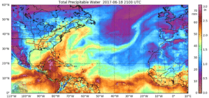
Bret is embedded within a ribbon of very moist air (associated with the ITCZ) that stretches from Africa to the northwest Caribbean, as shown in the animation below (taken from this site) that shows morphed microwave observations of total precipitable water.

Microwave estimates of Total Precipitable Water for the 24 hours ending 1900 UTC on 19 June 2017 (Click to enlarge)
For more information on Bret, refer to the National Hurricane Center and the CIMSS Tropical Cyclones sites (where you can also follow the future of the system emerging into the Gulf of Mexico).

