Severe thunderstorms in Idaho
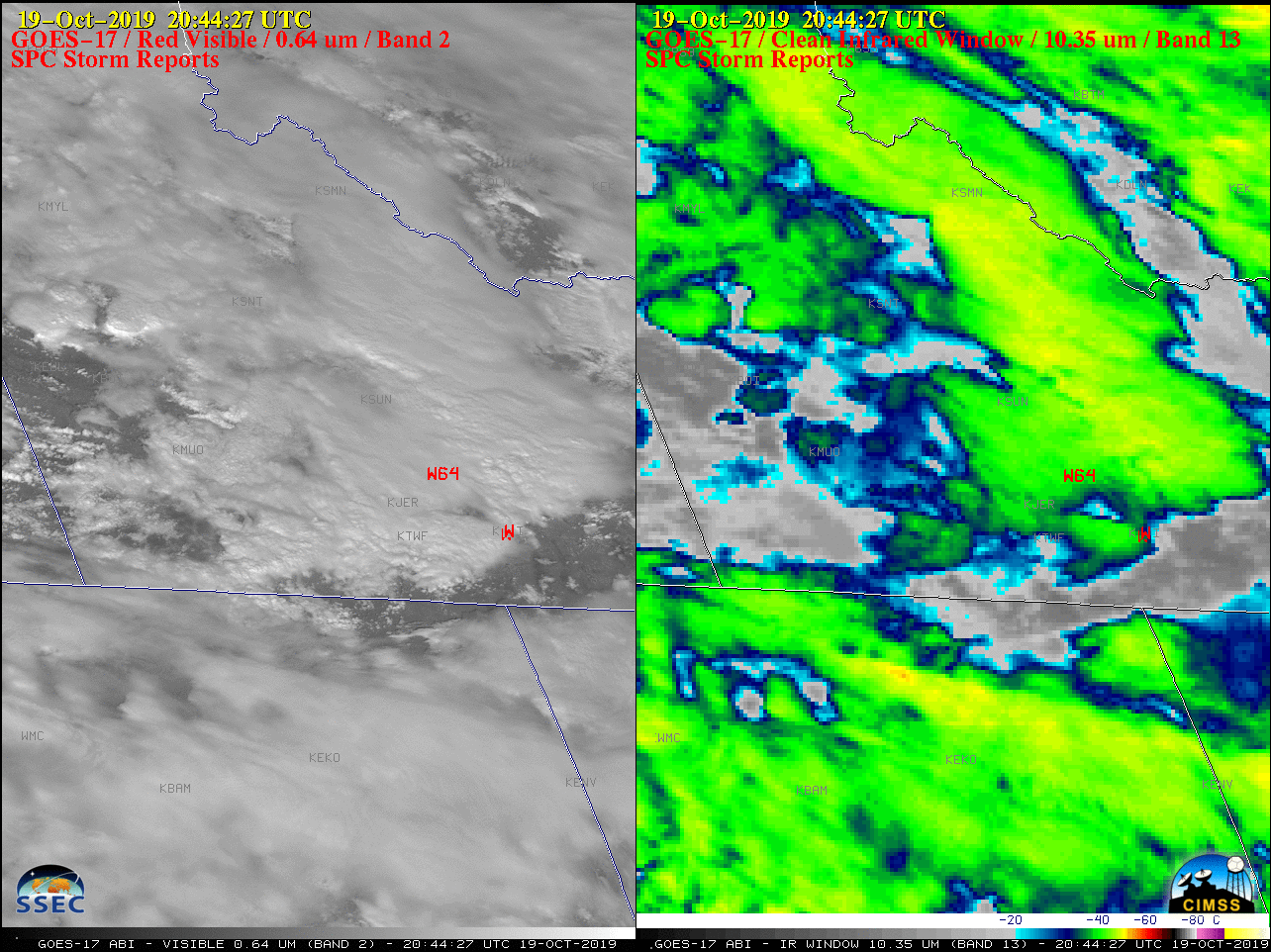
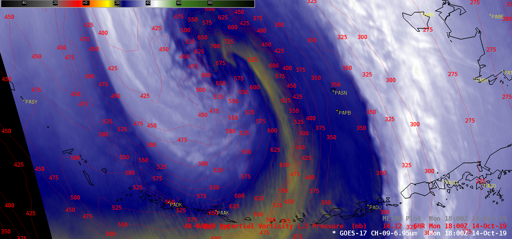
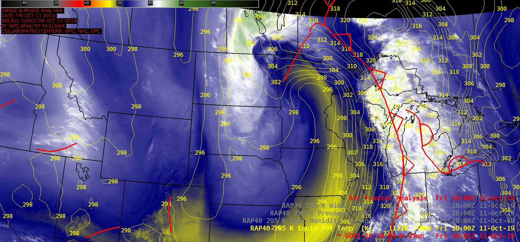
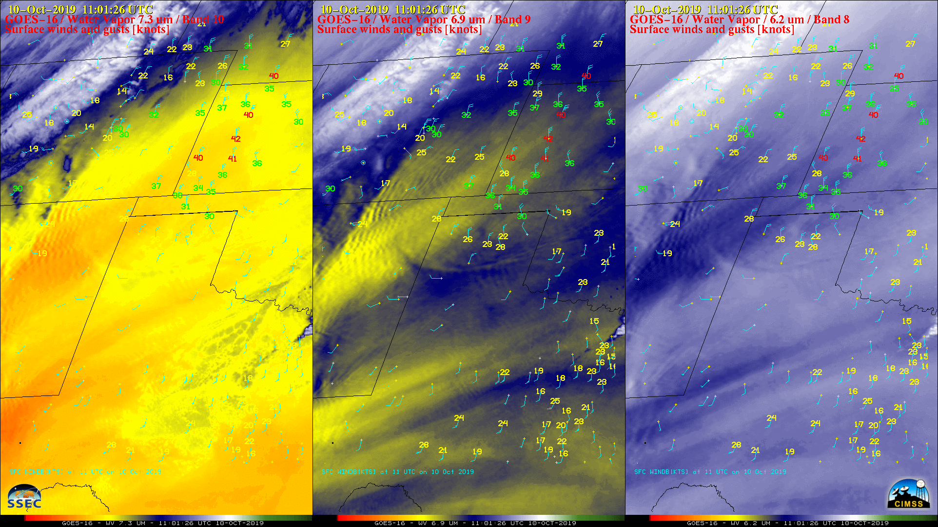
1-minute Mesoscale Domain Sector GOES-17 (GOES-West) “Red” Visible (0.64 µm) and “Clean” Infrared Window (10.35 µm) images (above) showed thunderstorms that developed along a fast-moving cold front, producing a swath of damaging winds (SPC storm reports) across southern Idaho on 19 October 2019.5-minute GOES-17 Mid-level Water Vapor (6.9 µm) images (below) displayed signatures of a jet stream and shortwave trough... Read More
