This website works best with a newer web browser such as Chrome, Firefox, Safari or Microsoft Edge. Internet Explorer is not supported by this website.

Multiple “enhanced-v” signatures in New Mexico and Texas/Oklahoma

Widespread severe convection developed during the day on 23 March 2007 over parts of New Mexico, Texas, Oklahoma, Kansas, and Colorado. AWIPS imagery of the MODIS and GOES InfraRed (IR) and water vapor channels (above) indicates that six of these storms located... Read More

MODIS and GOES IR and water vapor images

Widespread severe convection developed during the day on 23 March 2007 over parts of New Mexico, Texas, Oklahoma, Kansas, and Colorado. AWIPS imagery of the MODIS and GOES InfraRed (IR) and water vapor channels (above) indicates that six of these storms located over eastern New Mexico and the Texas/Oklahoma panhandle region exhibited “enhanced-v” signatures around 20:30-20:38 UTC (the enhanced-v signatures were better defined on the 1-km resolution MODIS images, compared to the 4-km resolution GOES images). This particular satellite signature is an indicator that thunderstorms are producing (or are about to produce) hail, tornadoes, or damaging winds. According to the SPC storm reports, the storms were indeed producing hail up to 1.75 inches in diameter in New Mexico around the time of the images above; hail up to 2 inches in diameter and several tornadoes were then reported within 1-4 hours of the image time.

A vigorous upper-level cutoff low was located over the Baja California region at 12 UTC that day. AWIPS imagery of the GOES sounder total column ozone product (below) depicted elevated ozone levels (green enhancement) within a broad tropopause anomaly in the vicinity of the upper low — the height of the 1.5 Potential Vorticity Unit (PVU) surface (which defines the dynamical tropopause) was as low 475 hPa . Dynamic forcing associated with this low began to increase over the southwestern US as the cutoff low moved northeastward during the day.
GOES sounder ozone product

View only this post Read Less

Snow-covered Black Hills surrounded by stratus cloud

The effect of the topography in western South Dakota and eastern Wyoming was very obvious on 19 March 2007, as low-altitude stratus clouds were forced to move around the higher elevation portions of the Black Hills (GOES-11 visible images:... Read More

AWIPS MODIS images

The effect of the topography in western South Dakota and eastern Wyoming was very obvious on 19 March 2007, as low-altitude stratus clouds were forced to move around the higher elevation portions of the Black Hills (GOES-11 visible images: Java animation). AWIPS images of a few of the MODIS channels (above) revealed that a good deal of the cloud-free highest elevations were still snow-covered. This snow cover appeared brighter than the surrounding tree-covered (but snow-free) surface on the Band 1 visible image (above, upper left panel) — the darker appearance of that same area on the Band 7 Snow/Ice image (above, lower left panel) is a signal of snow on the ground (in contrast to the supercooled water droplet stratus cloud, which appeared much brighter on the Band 7 image). MODIS and GOES fog/stratus product images from the pre-dawn hours showed that this area of stratus cloud was forming due to upslope northerly/northeasterly flow in the wake of a cold frontal passage.

.
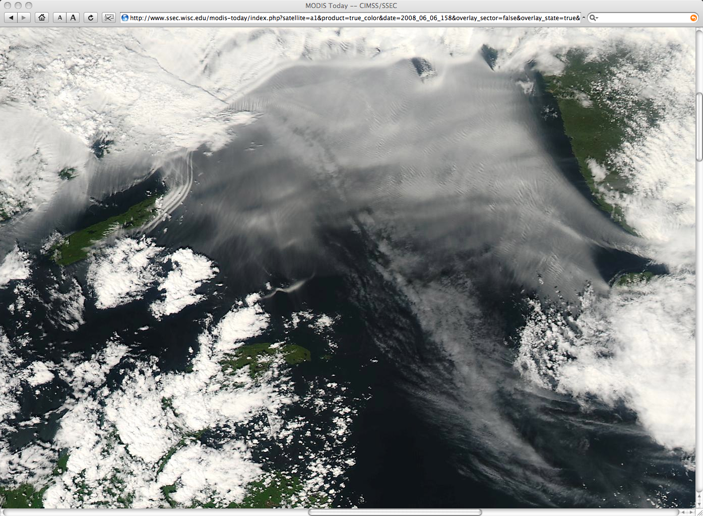
A 500-meter resolution MODIS true color image (below) showed even better detail of the snow cover and the stratus clouds that surrounded the Black Hills. The light gray region just to the east of the stratus cloud edge is the Badlands National Park, whose sandy and rocky surface has a higher albedo than the surrounding grasslands. Snow depths at the highest elevations were still as great as 18 inches at North Rapid Creek (station NRPS2, near Rochford, South Dakota).
MODIS true color image

View only this post Read Less

Actinoform Clouds (Actinae) in the Eastern Pacific Ocean

GOES-11 (GOES-West) Visible (daytime) and 3.9 µm Shortwave Infrared (nighttime) imagery (above) revealed an interesting cyclonic vortex which was propagating westward across the eastern North Pacific Ocean on 13-14 March 2007. The radial banded cloud features that form such a cloud “swirl” are known as actinae or Read More

GOES-11 Visible (0.65 µm) and Shortwave Infrared (3.9 µm) images [click to play animation]

GOES-11 Visible (0.65 µm) and Shortwave Infrared (3.9 µm) images [click to play animation]

GOES-11 (GOES-West) Visible (daytime) and 3.9 µm Shortwave Infrared (nighttime) imagery (above) revealed an interesting cyclonic vortex which was propagating westward across the eastern North Pacific Ocean on 13-14 March 2007. The radial banded cloud features that form such a cloud “swirl” are known as actinae or actinoform clouds, and they are occasionally seen in the marine stratocumulus cloud field over the Pacific Ocean (one such case was June 1997). This type of cloud pattern was first observed back in 1962 on TIROS V imagery near Hawaii.

View only this post Read Less
Fog in Florida Causes Multiple Vehicle Accident

Thick fog forming in southern portions of Osceola county in Florida was a factor in causing a multiple vehicle accident along the Florida Turnpike during the morning of 13 March 2007. AWIPS images of the MODIS and GOES fog/stratus brightness temperature difference several hours before the accident (above) shows how the 1-km... Read More

AWIPS images of MODIS and GOES fog product

AWIPS images of MODIS and GOES “fog product” brightness temperature difference

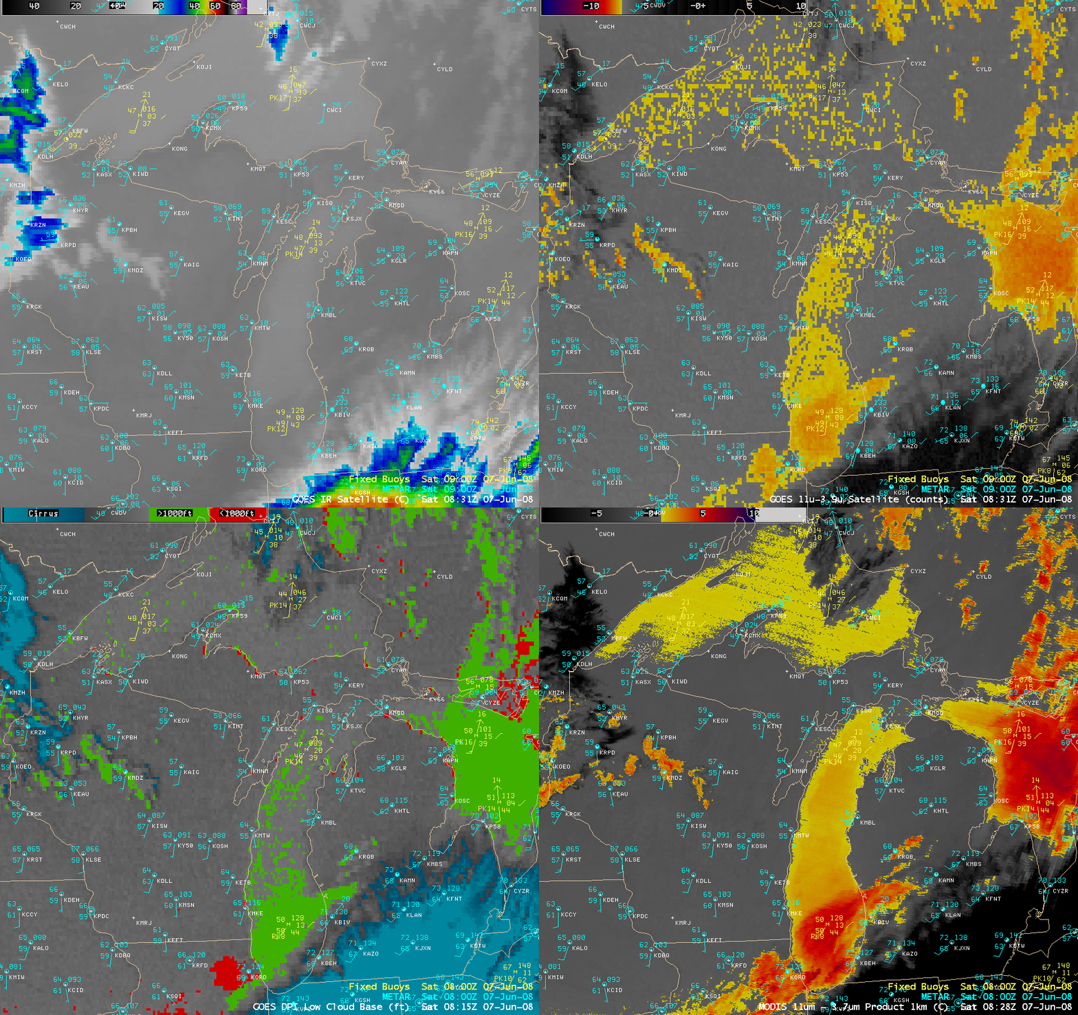
Thick fog forming in southern portions of Osceola county in Florida was a factor in causing a multiple vehicle accident along the Florida Turnpike during the morning of 13 March 2007. AWIPS images of the MODIS and GOES fog/stratus brightness temperature difference several hours before the accident (above) shows how the 1-km resolution MODIS product had better skill at depicting the location and coverage of the fog (compared to the 4-km resolution GOES product).

AWIPS image of GOES 3.9 µm Shortwave Infrared data

AWIPS image of GOES 3.9 µm Shortwave Infrared data

Smoke from small brush fires in that area on the previous day was thought to have helped to further reduce surface visibilities along with the fog; an AWIPS image of the GOES-12 3.9 µm Shortwave Infrared channel (below) shows a “hot spot” (red enhancement) associated with a fire that was burning just west of the Florida Turnpike in central Osceola county at 21:31 UTC on 12 March. The GOES-12 3.9 µm brightness temperature at that particular hot pixel was +40ºC; however, most of the brush fires in that area were apparently too small in size to produce similar hot spots at other image times, and the CIMSS Wildfire ABBA product only indicated a few brief fire pixels in central Florida during the day on 12 March.

View only this post Read Less