This website works best with a newer web browser such as Chrome, Firefox, Safari or Microsoft Edge. Internet Explorer is not supported by this website.

Archive: Oct 2025

Lake Effect Now Active Over Great Lakes

In a sign that the seasons are changing, the lake effect is now clearly visible over the Great Lakes. While most commonly associated with heavy snowfalls downwind of the Great Lakes, in these early pre-freezing times of the year it can be associated with the enhancement of rainfall as well.... Read More

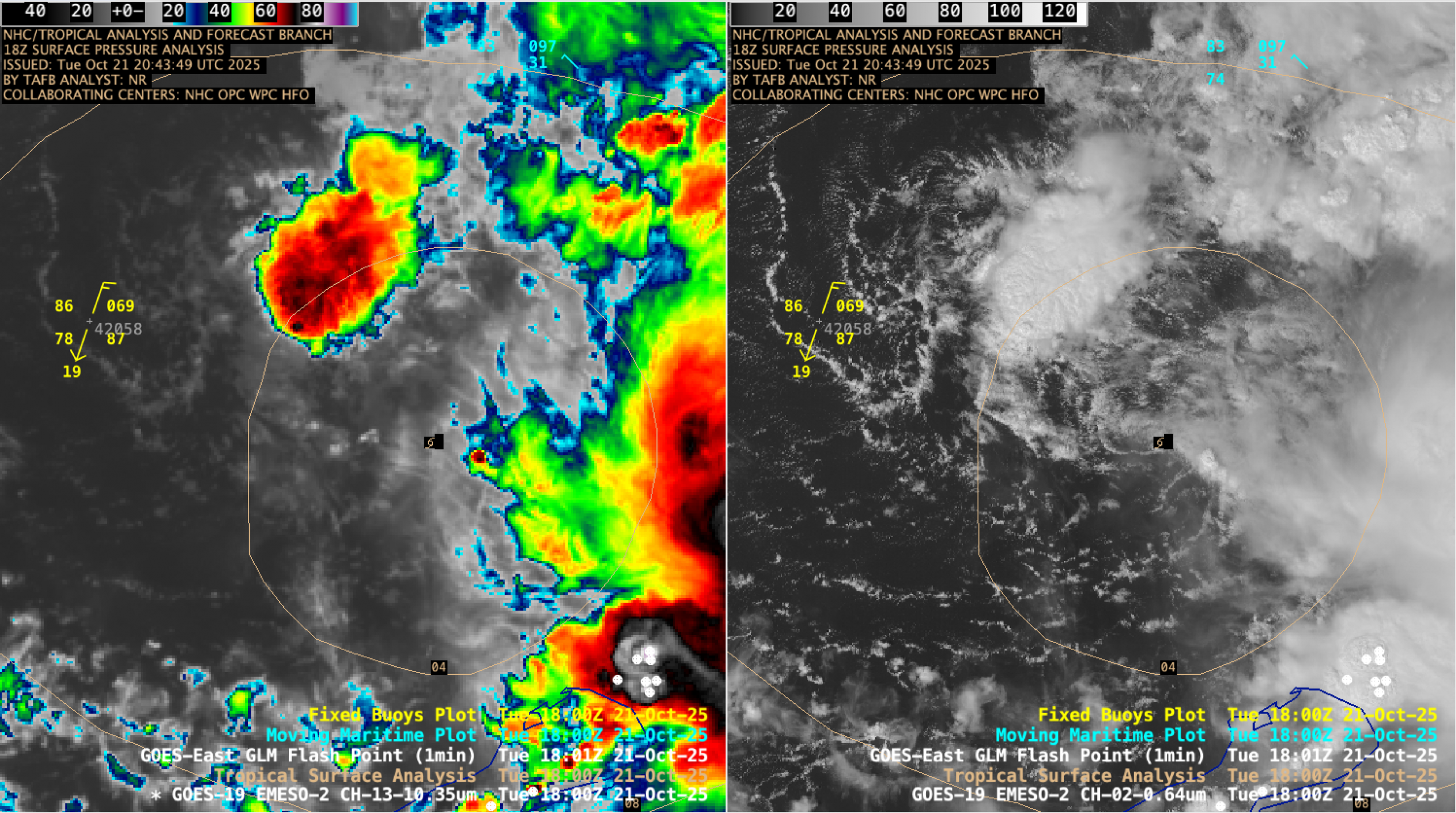
Tropical Storm Melissa forms in the Caribbean Sea

Tropical Storm Melissa developed in the Caribbean Sea on 21 October 2025 — and 1-minute Mesoscale Domain Sector GOES-19 (GOES-East) Infrared and Visible images (above) showed that most of the deep convection (which often exhibited abundant GLM-detected lightning activity) remained west of Melissa’s surface center of circulation, due to moderate west-southwesterly deep-layer wind... Read More

Fifty Loops for the 50th Anniversary of GOES

Loading map … let cimssInteractiveMapBaseUrl = 'https://cimss.ssec.wisc.edu/satellite-blog/wp-content/themes/cimss'; To celebrate the 50th anniversary of the GOES-A launch (GOES-A became GOES-1 on reaching geostationary orbit), this blog post contains one or two satellite animations (or images) for each of the 50 states. More on GOES-1 through GOES-19.There were experimental geostationary imagers (ATS and SMS) that preceded the first GOES.... Read More