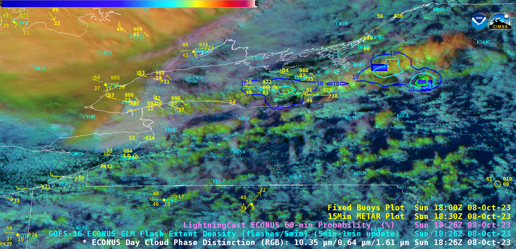
This website works best with a newer web browser such as Chrome, Firefox, Safari or Microsoft Edge. Internet Explorer is not supported by this website.

Archive: Oct 2023

Lake effect rain downwind of Lake Erie and Lake Ontario

5-minute GOES-16 (GOES-East) Day Cloud Phase Distinction RGB images with overlays of GLM Flash Extent Density, LightningCast Probability and Buoy/METAR reports (above) showed glaciating (brighter shades of green) and glaciated (pale shades of yellow) cloud bands streaming eastward and southeastward off Lake Ontario and Lake Erie on 08 October 2023. Some of these cloud bands were producing lake effect... Read More

Satellite products useful for anticipating tropical cyclone development

Tropical Storm Bolaven has formed in the western Pacific and is moving towards the Marianas Islands. Were there satellite products useful in monitoring the atmosphere prior to the storm’s development? One such useful product is the Advanced Scatterometer (ASCAT) that is on both MetopB and MetopC polar orbiters at this website (or this one). The stepped animation above, from... Read More