Airmass RGB imagery during the extratropical transition of Philippe
Former Hurricane Philippe lost tropical characteristics at 1500 UTC on 6 October, as it interacted with extratopical features moving over it from the USA. (Click here for a UW-Madison weather watch on this event with commentary by Profs Jon Martin and Michael Morgan). There are several players of note in this animation: Philippe, a disorganized mass of convection off the east coast of the US, a subtropical jetstream moving through the southern United States and a potent upper-tropospheric impulse moving from Canada into the upper Great Lakes. Each of these systems have potential vorticity anomalies (different shades of orange in the RGB) that can be tracked.
Philippe’s extratropical transition is coincident with the arrival of a PV anomaly associated with the subtropical jet; that anomaly is moving through the mid-Atlantic states late in the day 6 October/early 7 October. Starting on 8 October, the PV anomaly with the system moving through the Great Lakes also affects the poleward-moving remains of Philippe.
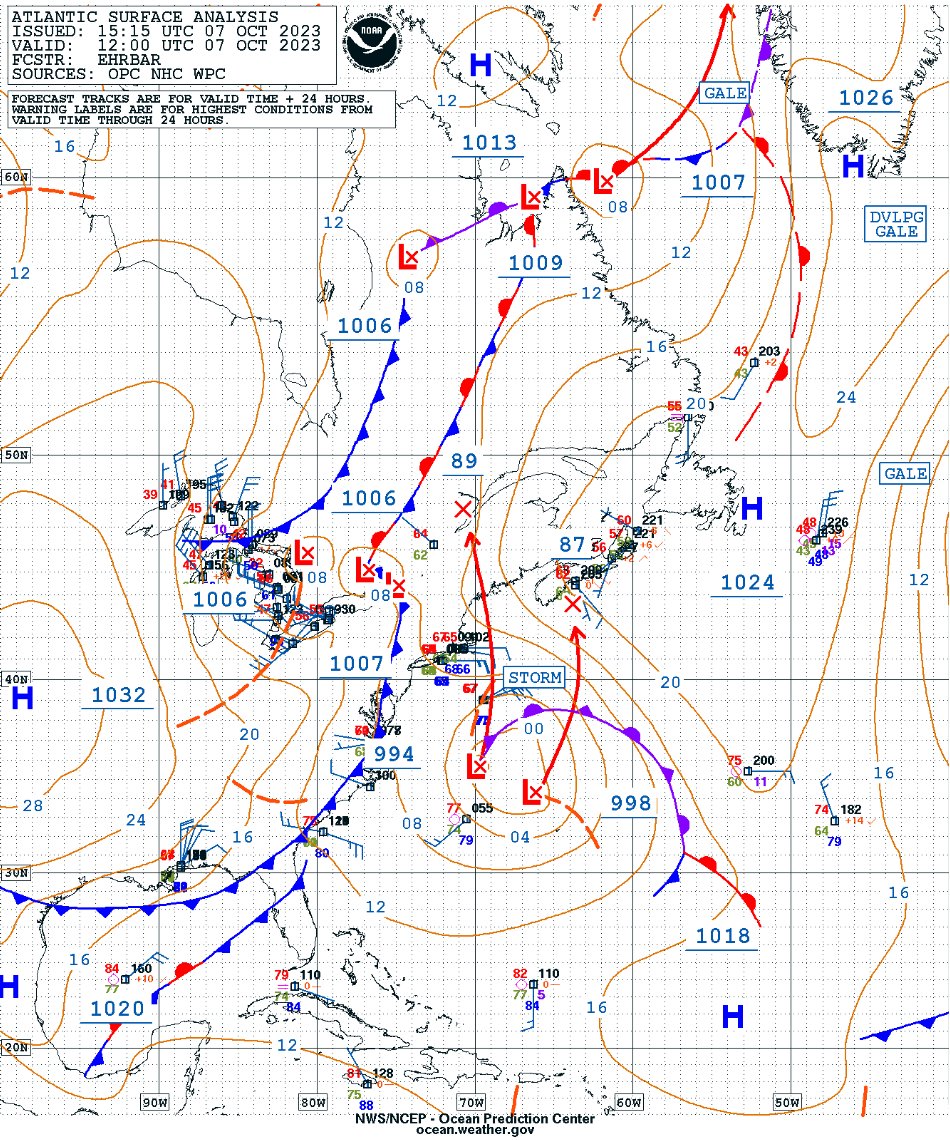
The resultant occluded cyclone remained over eastern Canada through 11 October — as seen below in an animation of surface analyses from the Ocean Prediction Center.

Surface analyses, from 0000 UTC on 5 October to 1800 UTC on 11 October (courtesy Scott Bachmeier, CIMSS [click to play animated GIF | MP4]

