CSPP Geosphere views of smoke in Oregon and Idaho
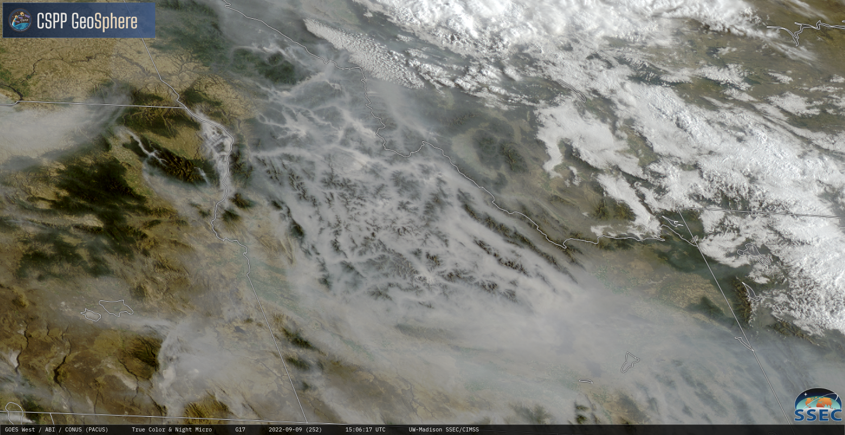
CSPP Geosphere animations from GOES-West (above, link) and GOES-East (below, link) both show an active fire — the Cedar Creek fire — over Oregon (previously discussed here). Low-level winds (as shown in the 1200 UTC sounding from Medford OR) are moving the smoke plume out over the Pacific Ocean. The oblique side-view from GOES-East (below) gives a... Read More