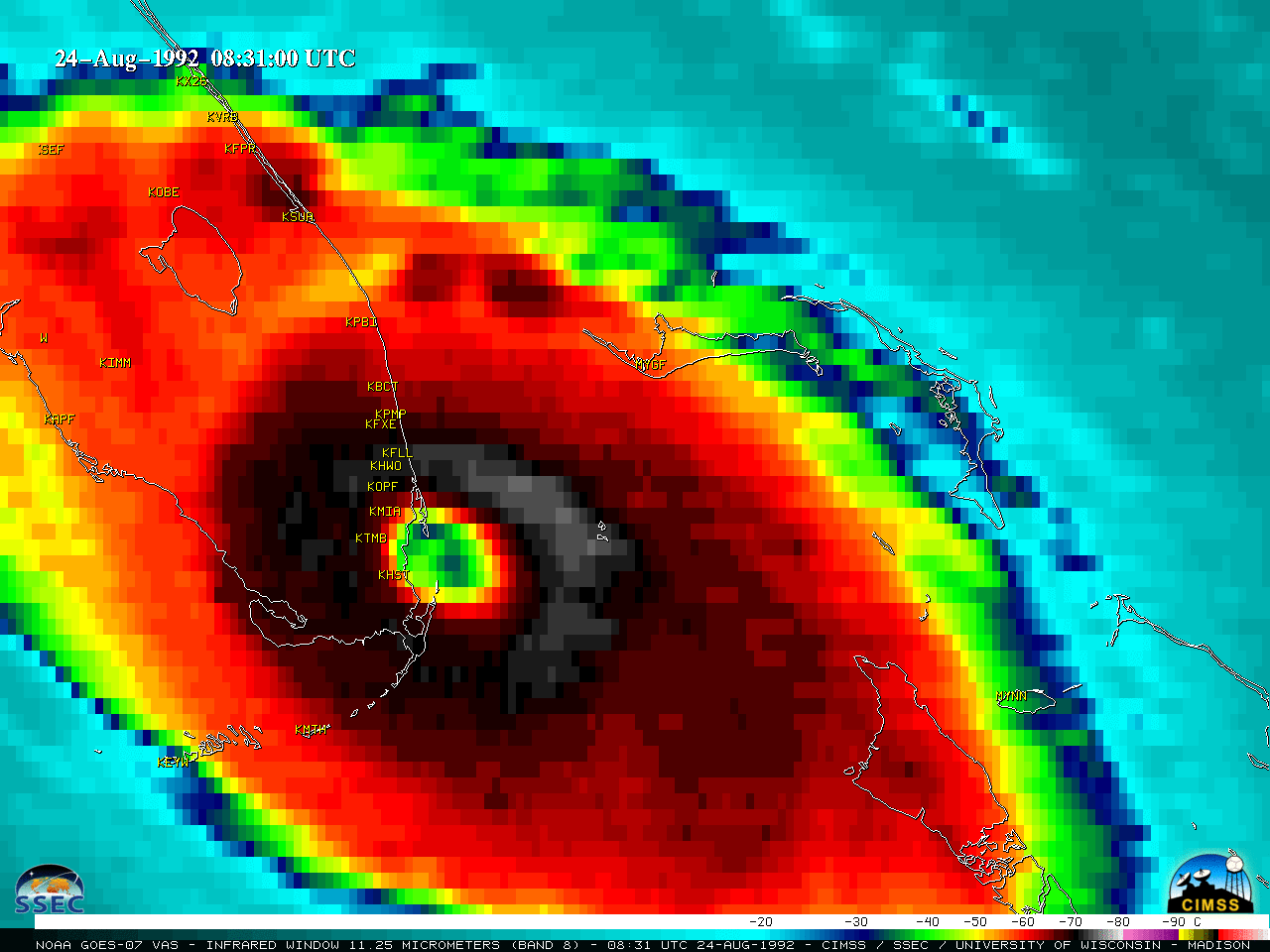
The Florida landfall of Hurricane Andrew in 1992

GOES-7 Infrared (11.35 um) images [click to play animated GIF | MP4]
More information on Andrew can be found in this video produced by NWS Miami for the 25th anniversary of the storm.
By Scott Bachmeier •

GOES-7 Infrared (11.35 um) images [click to play animated GIF | MP4]
More information on Andrew can be found in this video produced by NWS Miami for the 25th anniversary of the storm.
Categories: GOES-7, Historical, Tropical cyclones