Mid-Atlantic and Northeast US winter storm
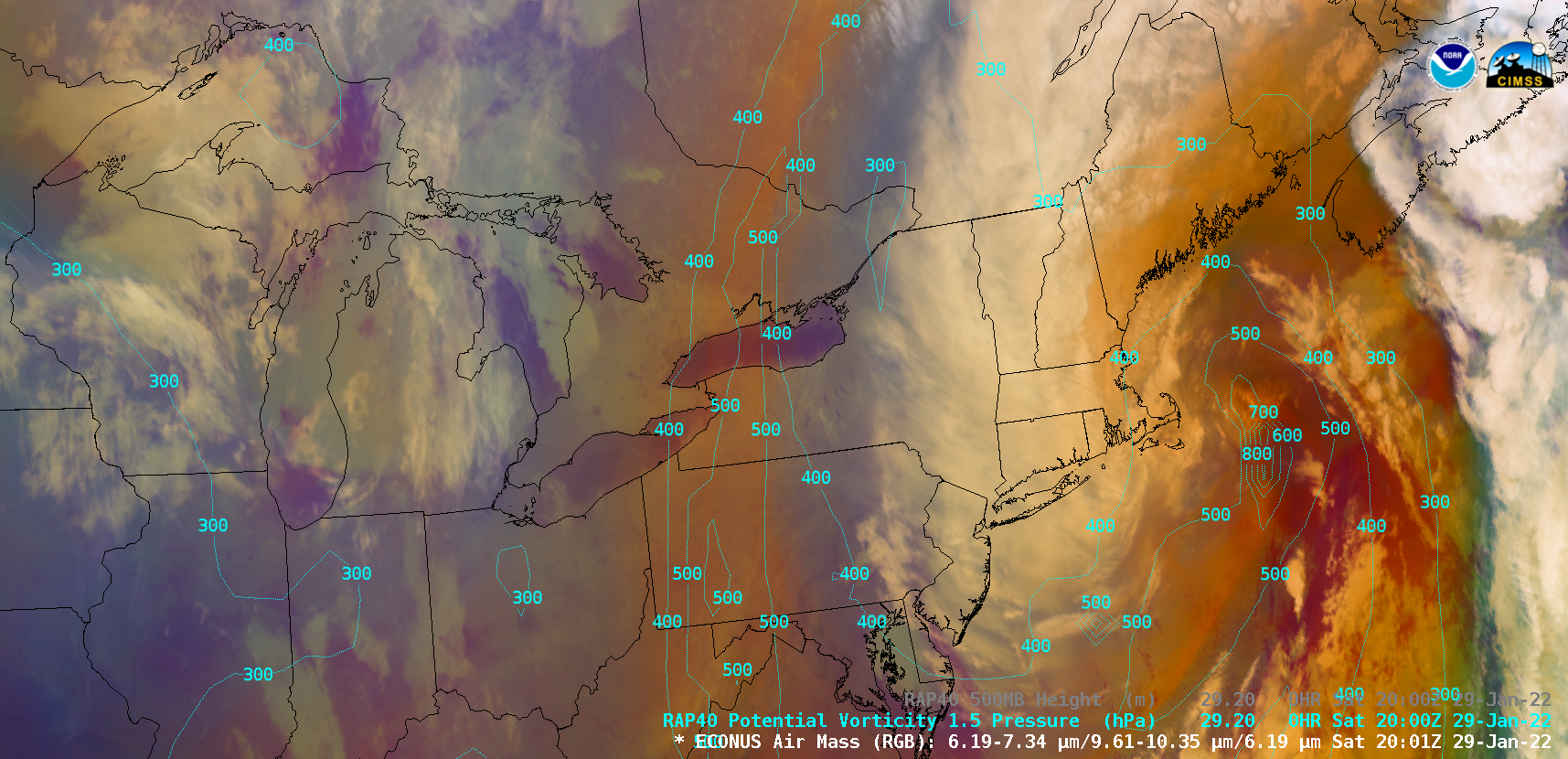
GOES-16 (GOES-East) Mid-level Water Vapor (6.9 µm) images (above) showed the widespread precipitation (WPC Storm Summary) produced by a midlatitude cyclone that rapidly intensified off the Northeast US coast on 29 January 2022.GOES-16 Water Vapor images with hourly plots of wind barbs and gusts (below) showed that the highest wind gusts occurred near the New England coast.GOES-16... Read More
