SAR Winds over Lake Michigan compared with Radar winds
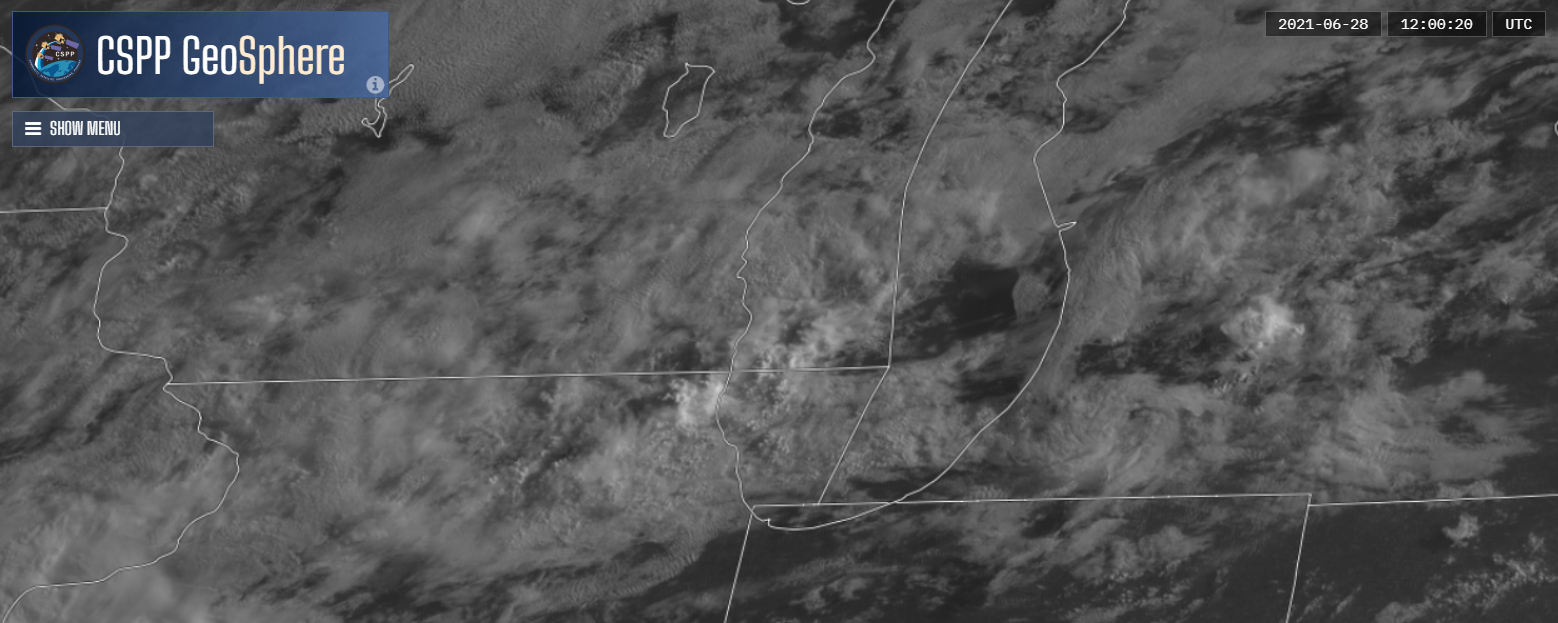
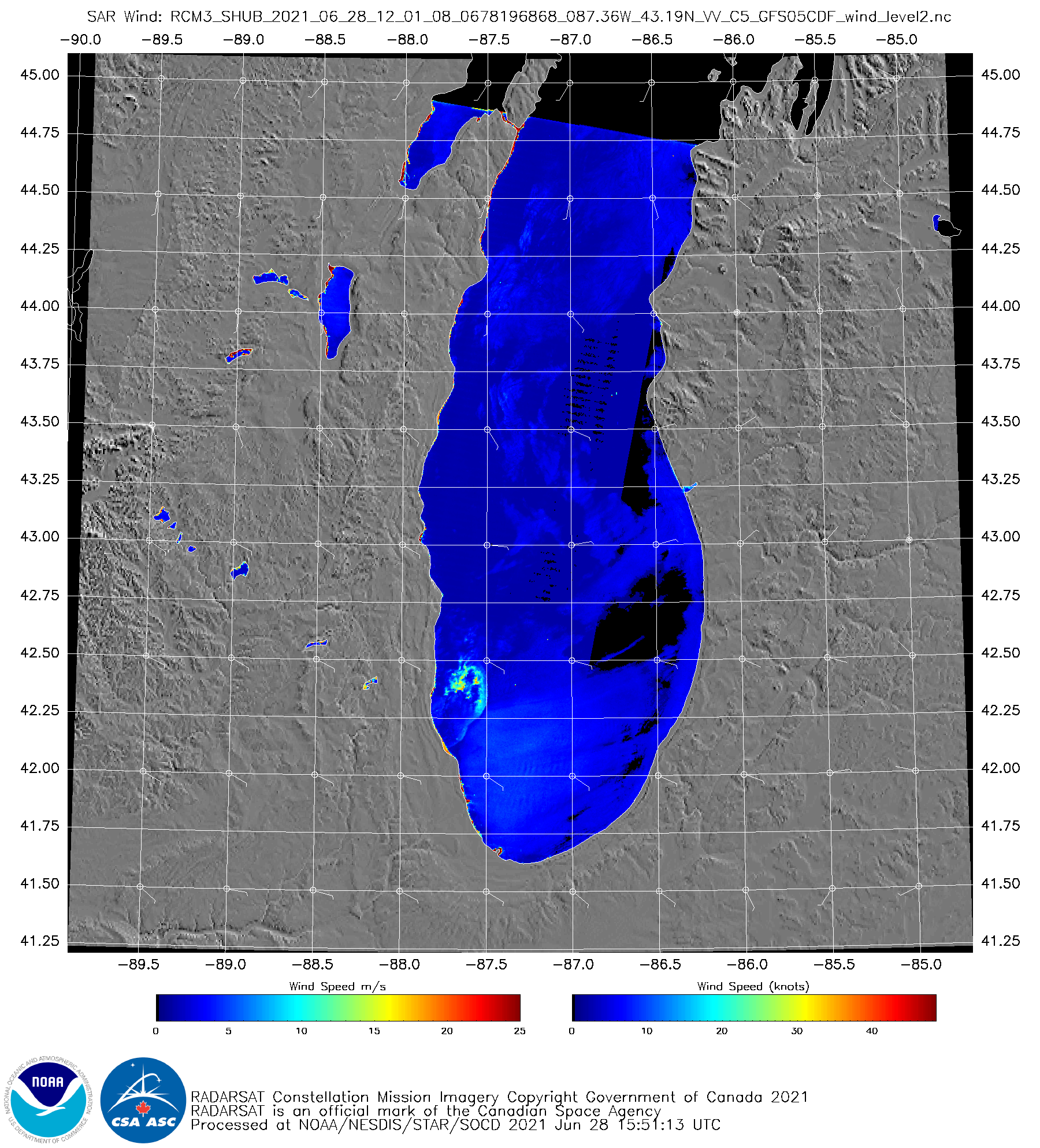
RADARSAT Constellation Mission 3 (RCM3) Synthetic Aperture Radar (SAR) wind data over southern Lake Michigan at 1201 UTC on 28 June, above (click to enlarge, taken from this website), shows a small region of strong winds just offshore of southeast Wisconsin and northeastern Illinois. GOES-16 Band 2 visible imagery (clipped from the CSPP Geosphere website, click here for the direct link to the imagery — valid until mid-July) shows modest convection just off the Wisconsin/Illinois shorelines.

CSPP Geosphere visualization of GOES-16 Visible (Band 2, 0.64) imagery, 1200 UTC on 28 June 2021 (Click to enlarge)
Winds from the Sullivan WI (WFO MKX) radar, below, (courtesy John Gagan, SOO), show a similar structure. The challenge in comparing the SAR winds and the radar winds: The Sullivan radar beam in that location is about 5000 feet above the surface. Storm-relative velocities are about 20 kt.


