Hurricane Teddy and wildfire smoke
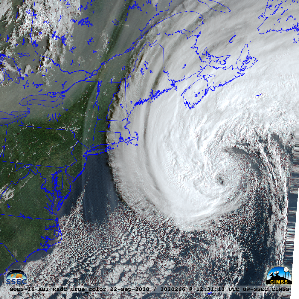
GOES-16 (GOES-East) True Color Red-Green-Blue (RGB) images created using Geo2Grid (above) revealed that the large circulation of Hurricane Teddy (downgraded from a Category 2 to a Category 1 storm at 18 UTC) was drawing hazy filaments of smoke — likely originating from wildfires in the western US — southward from eastern... Read More
