This website works best with a newer web browser such as Chrome, Firefox, Safari or Microsoft Edge. Internet Explorer is not supported by this website.

Archive: Jun 2020

Blowing dust in the Plains

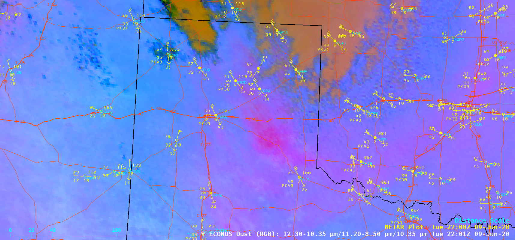
GOES-16 (GOES-East) Split Cloud Top Phase (11.2-8.4 µm) and Dust Red-Green-Blue (RGB) images (above) displayed signatures of blowing dust plumes — medium shades of blue in the 11.2-8.4 µm product, and brighter shades of magenta to pink in the Dust RGB — caused by strong winds in the wake of cold fronts moving... Read More

Stereoscopic views of severe convection over Nebraska

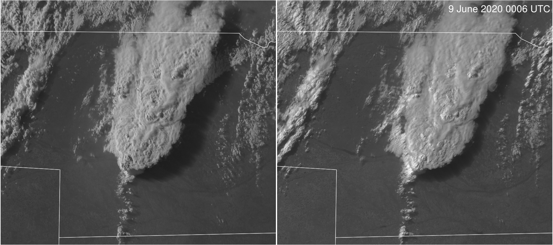
  https://cimss.ssec.wisc.edu/satellite-blog/wp-content/uploads/sites/5/2020/06/GOES-16_17Stereo_Band2_20200608_2140_to_20200609_0230anim.mp4 GOES-16 (left) and GOES-17 (right) Band 2 (0.64 µm) Visible imagery, 2140 UTC on 8 June 2020 through 0130 UTC 9 June 2020 Strong convection developed over Nebraska late in the afternoon of June 8th (SPC Storm reports are here).  Mesoscale domains from both GOES-16 and GOES-17 viewed this developing... Read More

Tropical Storm Cristobal makes landfall along the coast of Louisiana

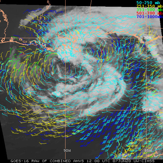
1-minute Mesoscale Domain Sector GOES-16 “Red” Visible (0.64 µm) images (above) revealed low-level vortices that were pivoting around the analyzed center of Tropical Storm Cristobal as it approached the coast of Louisiana on 07 June 2020, making landfall at 2200 UTC. Wind gusts were as high as 57 mph in Louisiana and 64 mph in Mississippi.GOES-16 Visible images with overlays... Read More