Severe thunderstorms over Wyoming and South Dakota
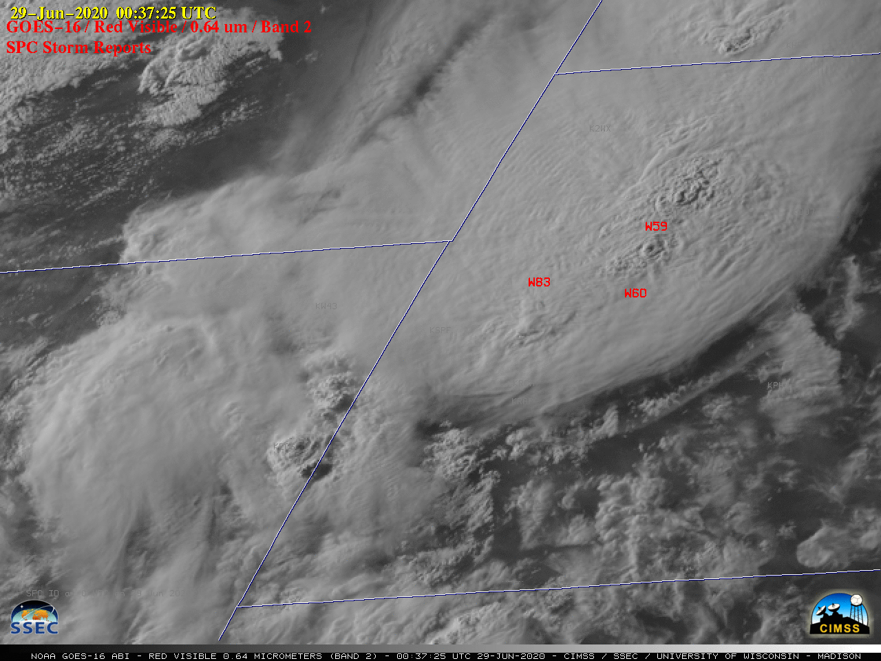
GOES-16 (GOES-East) “Red” Visible (0.64 µm) images with time-matched plots of SPC Storm Reports (above) displayed clusters of thunderstorms that moved across eastern Wyoming and western South Dakota on 28 June 2020. Numerous overshooting tops were seen, along with cloud-top gravity waves and a couple of Above-Anvil Cirrus Plumes (reference | VISIT training). These storms produced hail as large as 2.25″ in... Read More
