Ice in Hudson Bay
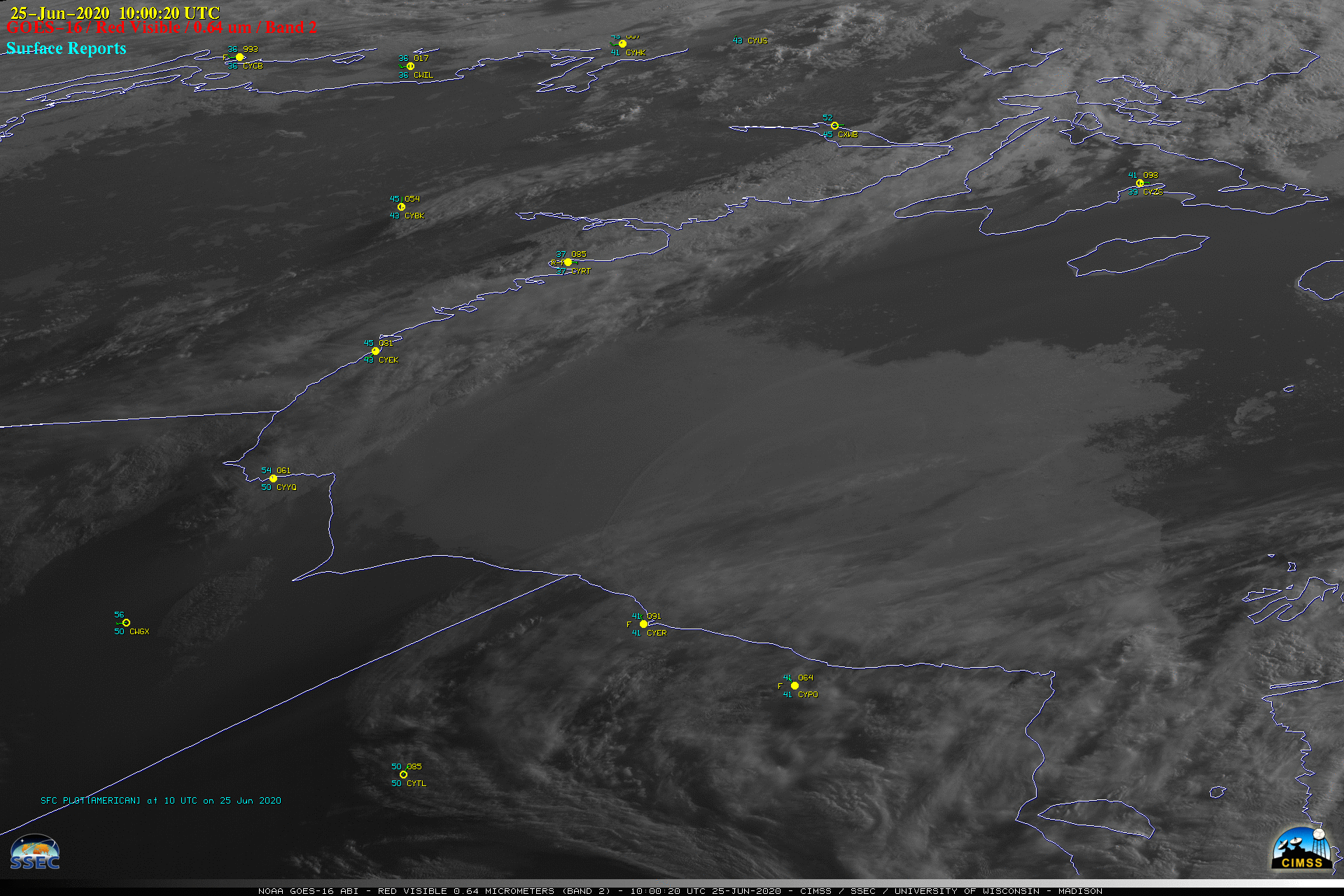
![GOES-16 “Red” Visible (0.64 µm) images [click to play animation | MP4]](https://cimss.ssec.wisc.edu/satellite-blog/images/2020/06/200625_goes16_HudsonBay_ice_fast_anim.gif)
GOES-16 “Red” Visible (0.64 µm) images [click to play animation | MP4]
According to the Ice Concentration Departure from Normal map issued by the Canadian Ice Service on 22 June (below), except for the narrow sliver of above-normal nearshore ice, most of the ice coverage and concentration seen on the GOES-16 imagery was normal.
![Ice concentration departure from normal [click to enlarge]](https://cimss.ssec.wisc.edu/satellite-blog/images/2020/06/200622_HudsonBay_ice_concentration_departure.gif)
Ice concentration departure from normal [click to enlarge]