Severe thunderstorms in Minnesota
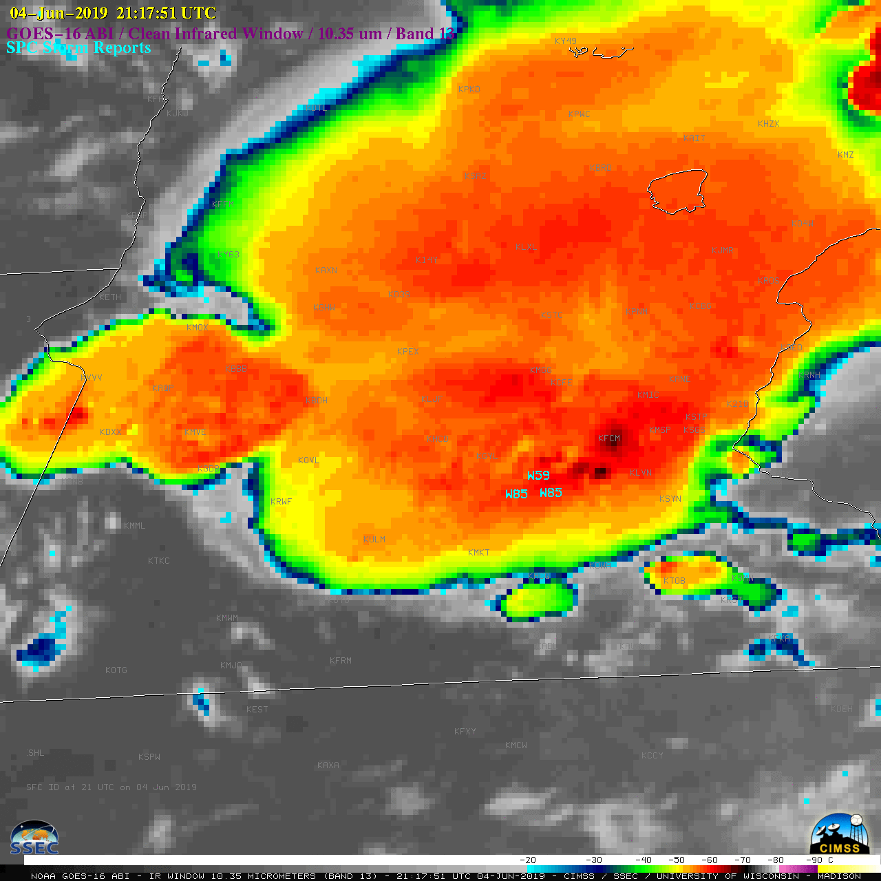
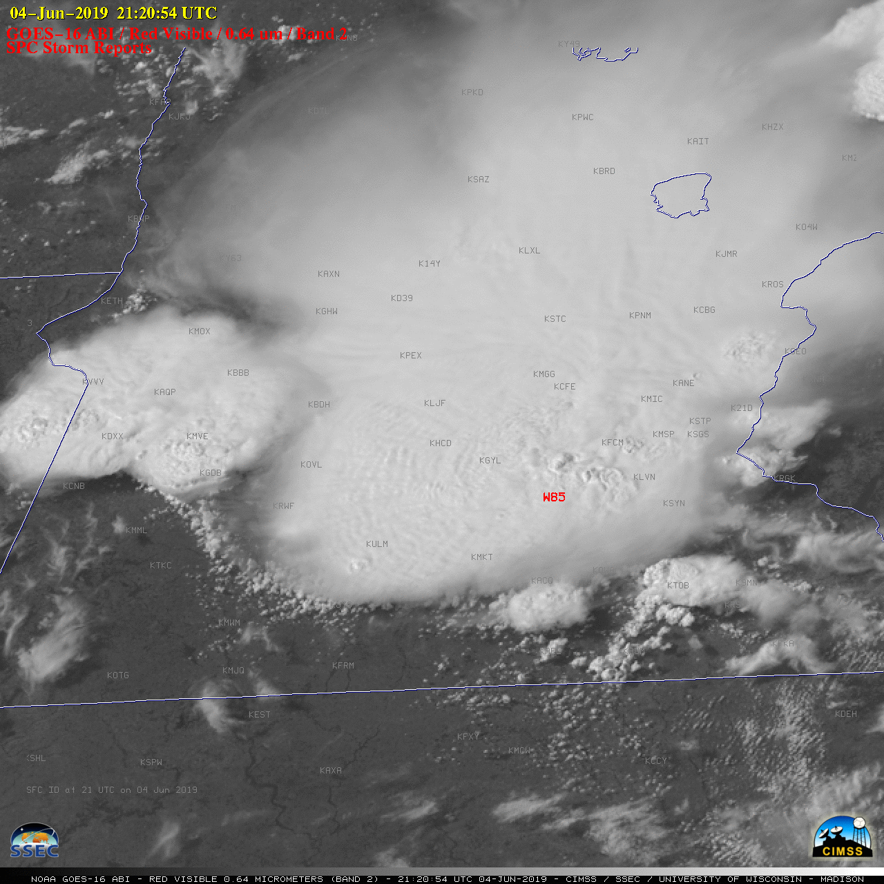
1-minute Mesoscale Domain Sector GOES-16 (GOES-East) “Red” Visible (0.64 µm) images (above) showed a mesoscale convective system (MCS) that produced large hail and damaging winds — including gusts to 85 mph around 2120 UTC — across southern Minnesota on 04 June 2019 (SPC storm reports). Numerous well-defined overshooting tops were seen in the imagery, along with cloud-top gravity waves across the... Read More
