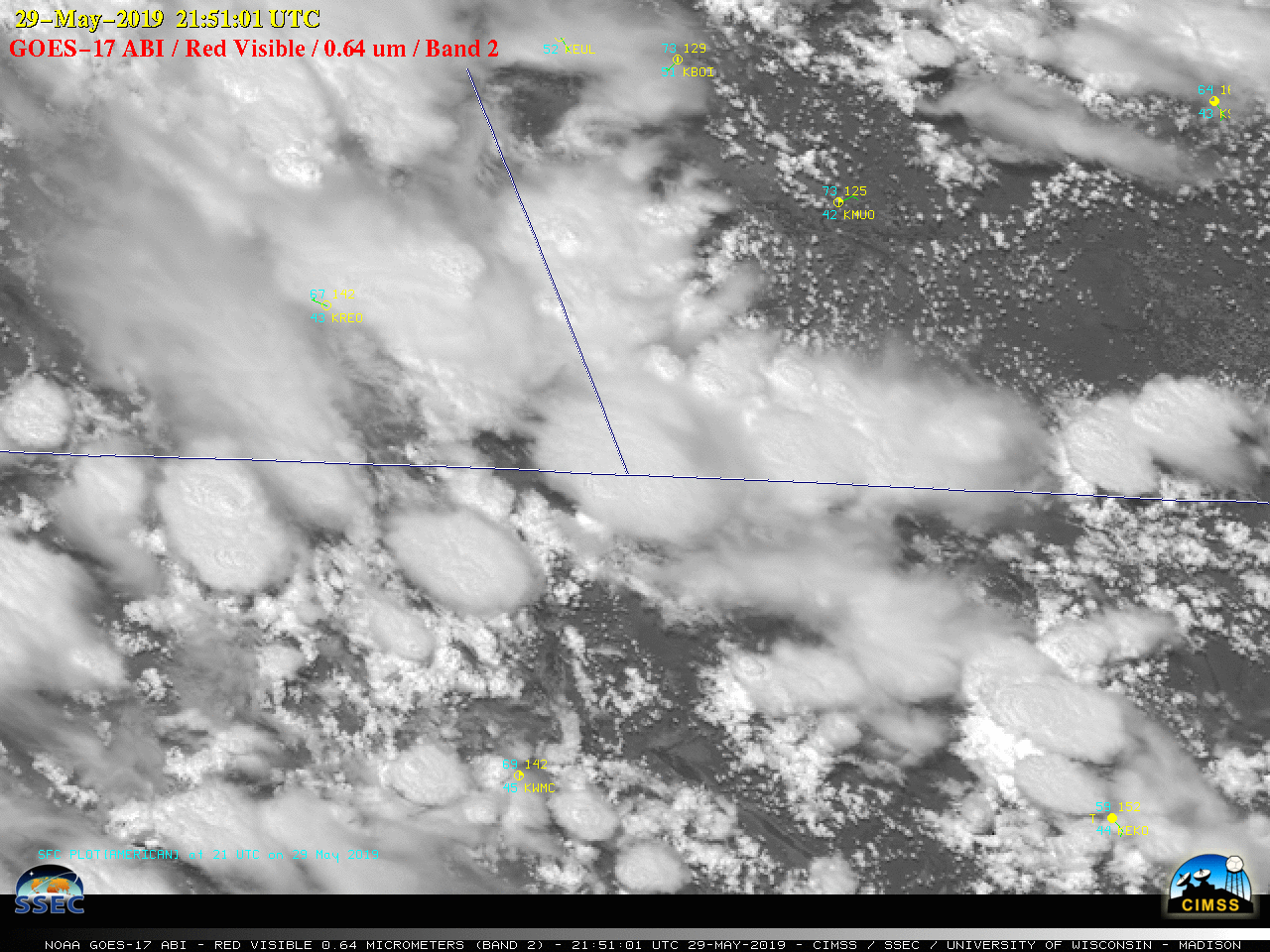
30-second GOES-17 images over Oregon/Idaho/Nevada

Due to an overlap of GOES-17 (GOES-West) Mesoscale Domain Sectors, images were available at 30-second intervals — and “Red” Visible (0.64 µm) images (above) showed the development of thunderstorms over southeastern Oregon, southwestern Idaho and northern Nevada on 29 May 2019. Some of these thunderstorms produced heavy rainfall and small hail in southwestern Idaho, and... Read More


