Severe thunderstorms in Kansas and Missouri
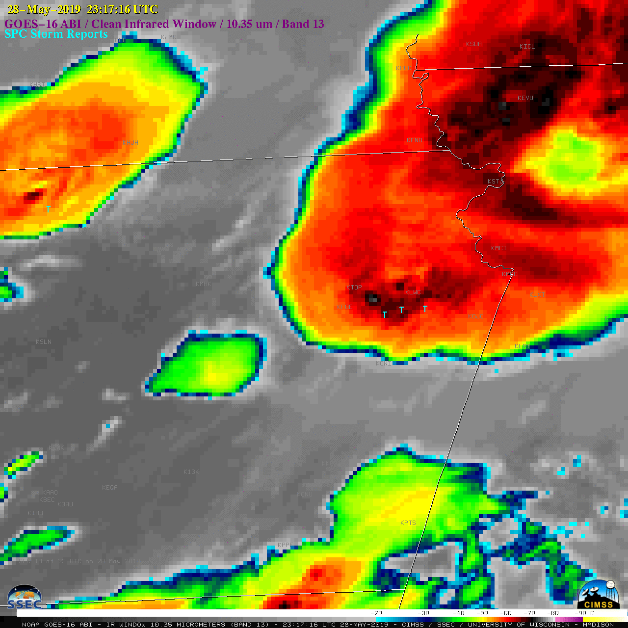
1-minute Mesoscale Domain Sector GOES-16 (GOES-East) “Red” Visible (0.64 µm) images (above) depicted supercell thunderstorms forming along and south of a quasistationary frontal boundary (surface analyses) which produced a variety of severe weather (SPC Storm Reports) across eastern Kansas and far western Missouri late in the day on 28 May 2019 — including the long-track EF-4 tornado that... Read More
