Severe thunderstorms across Oklahoma, Kansas and Missouri
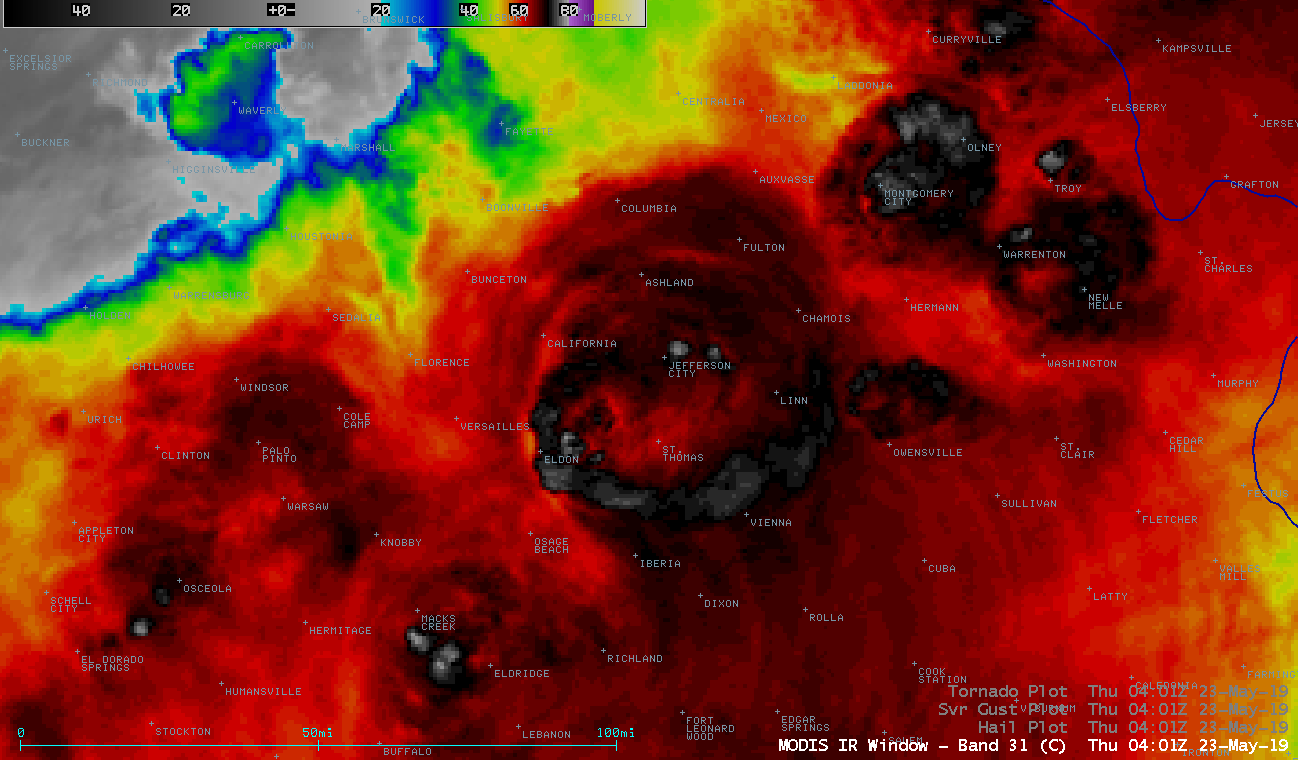
1-minute Mesoscale Domain Sector GOES-16 (GOES-East) “Red” Visible (0.64 µm) images (above) showed the development of supercell thunderstorms that produced tornadoes, large hail and damaging winds (SPC Storm Reports) across parts of Oklahoma, Kansas and Missouri on 22 May 2019.GOES-16 “Clean” Infrared Window (10.35 µm) images (below) showed the storms as they persisted into the nighttime hours —... Read More