Severe thunderstorms in South Dakota and Nebraska
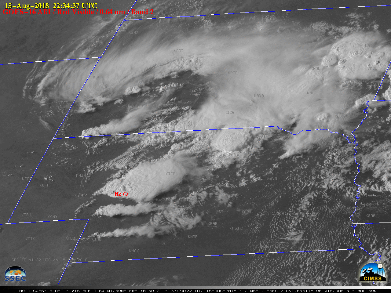
1-minute Mesoscale Domain Sector GOES-16 (GOES-East) “Red” Visible (0.64 µm) images (above) showed the development of thunderstorms which produced large hail and damaging winds across parts of southwestern South Dakota and western/central Nebraska (SPC Storm Reports) on 15 August 2018. The dominant storm in Nebraska exhibited a well-defined Above Anvil Cirrus Plume (AACP), which is often an... Read More
