GOES-16 water vapor imagery over far northern Canada
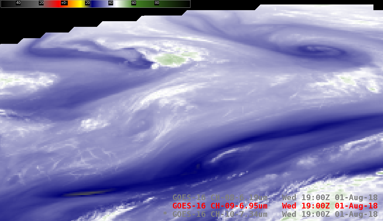
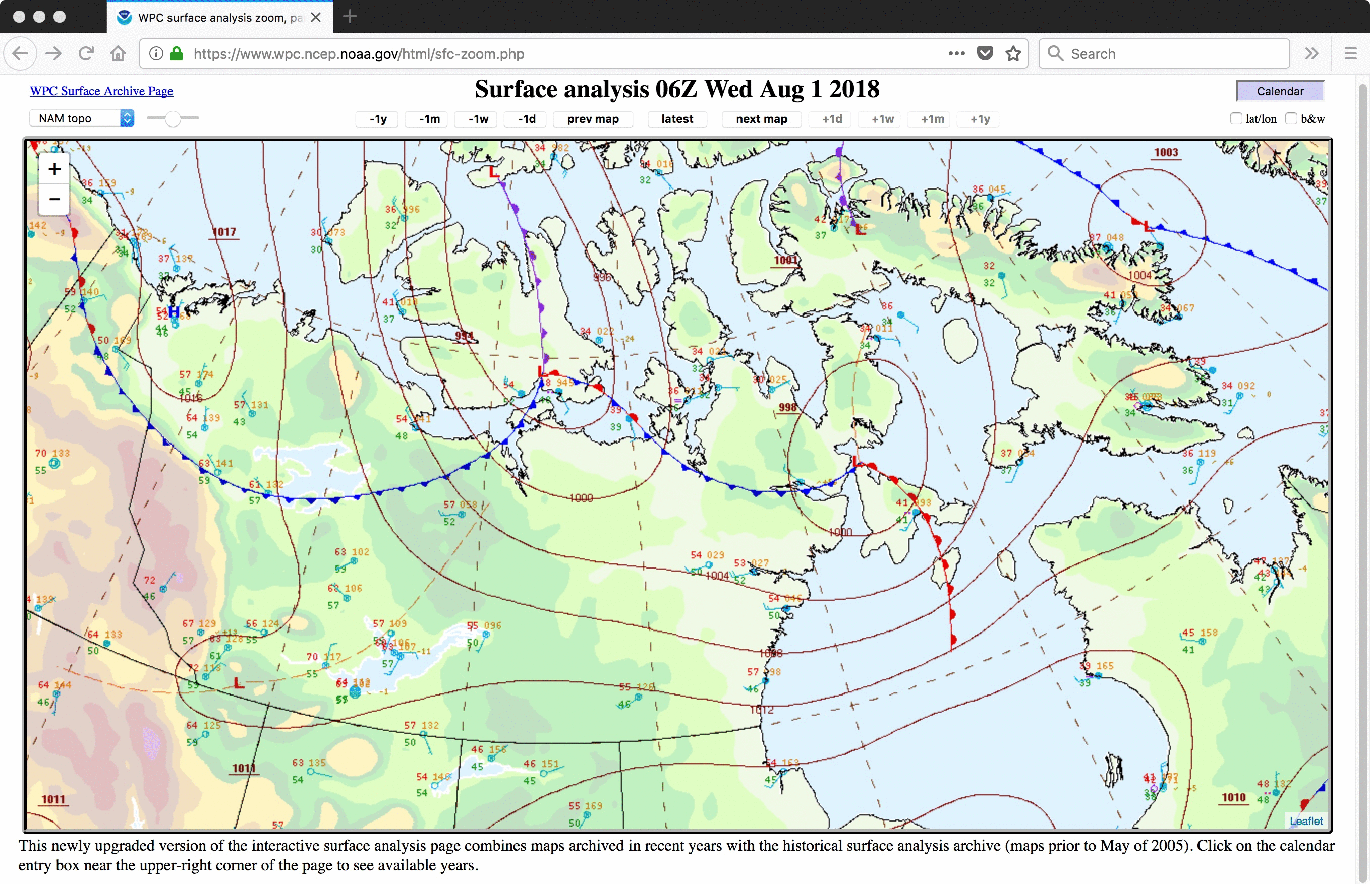
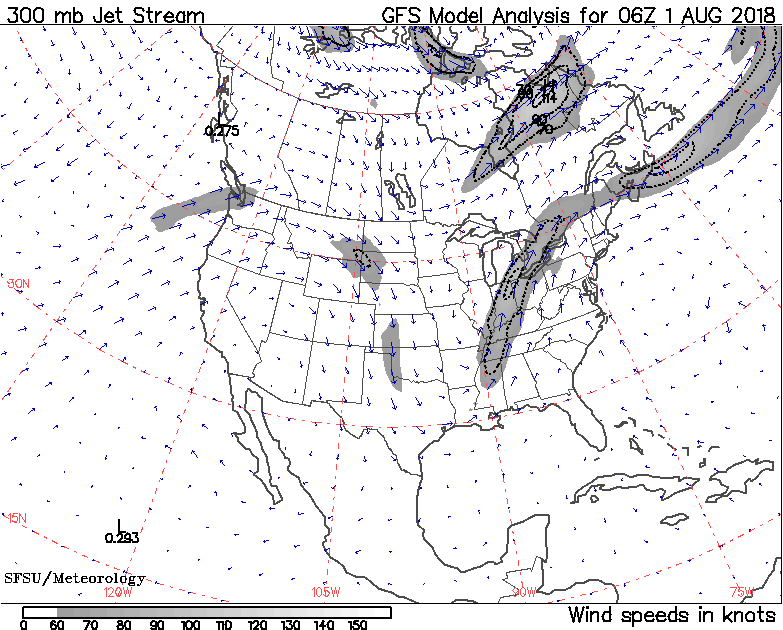
Animations of GOES-16 (GOES-East) Low-level (7.3 µm), Mid-level (6.9 µm) and Upper-level (6.2 µm) Water Vapor images (above) showed features moving eastward across Nunavut in northern Canada on 01 August 2018. These images covered the far northern portion of the GOES-16 Full Disk view in AWIPS, and depicted frontal wave disturbances within the polar jet stream... Read More
