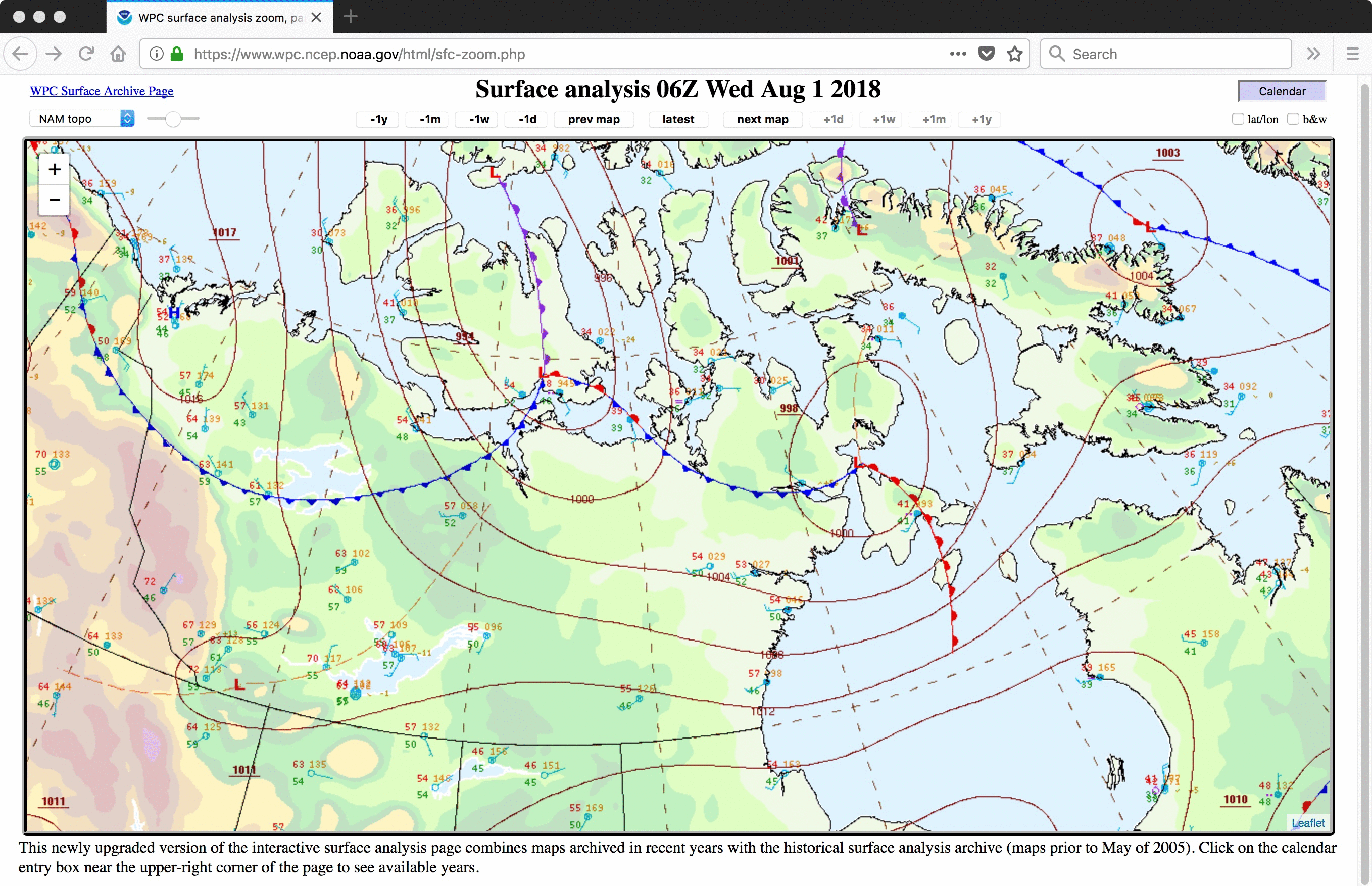
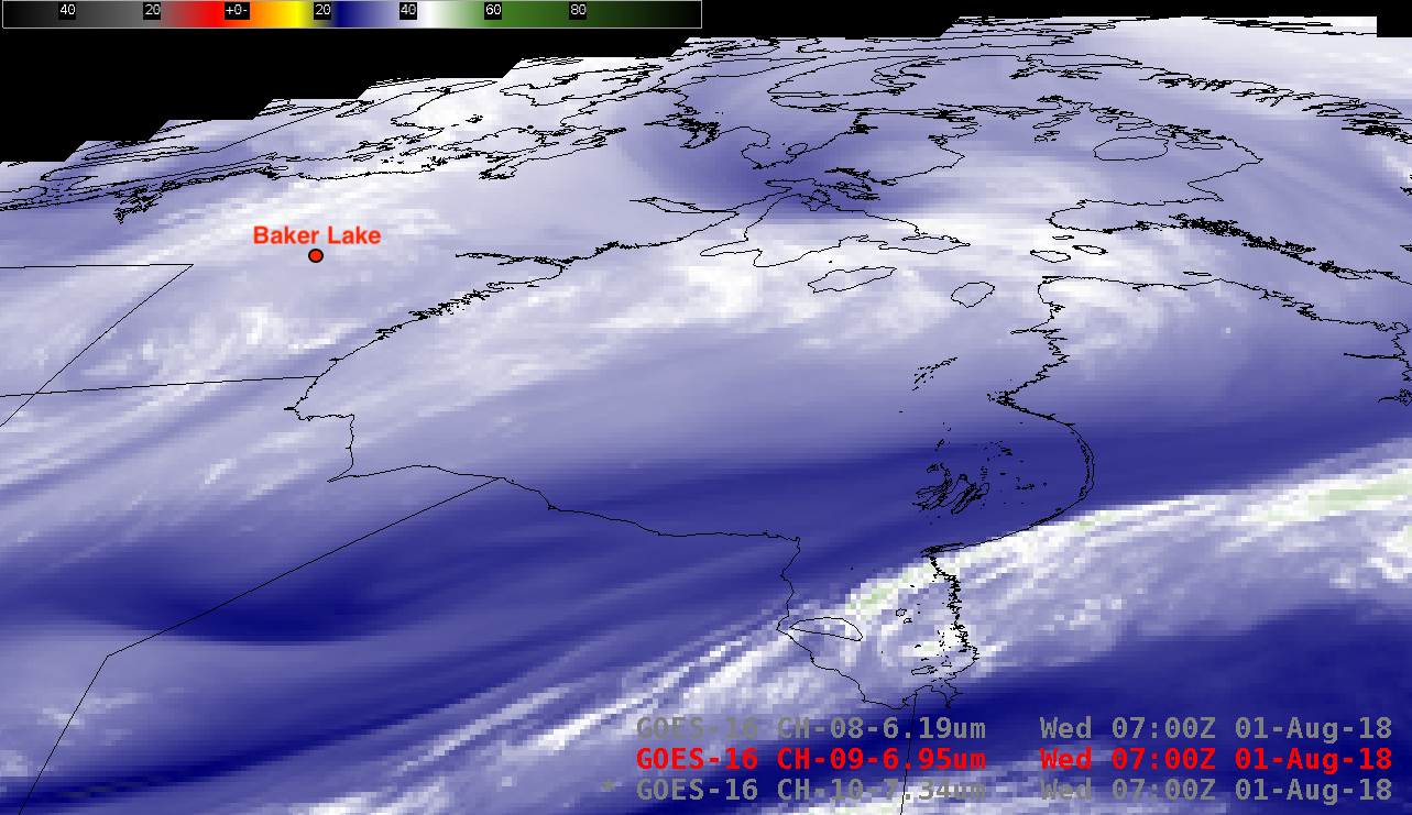
GOES-16 water vapor imagery over far northern Canada
![GOES-16 Low-level (7.3 µm), Mid-level (6.9 µm) and Upper-level (6.2 µm) Water Vapor images [click to play animation | MP4]](https://cimss.ssec.wisc.edu/satellite-blog/wp-content/uploads/sites/5/2018/08/180801_goes16_water_vapor_Arctic_Canada_anim.gif)
GOES-16 Low-level (7.3 µm), Mid-level (6.9 µm) and Upper-level (6.2 µm) Water Vapor images [click to play animation | MP4]
Due to the large satellite viewing angle or “zenith angle”, the 2 km water vapor image pixel dimension (at satellite sub-point) increased to around 6.4 km or 4 miles (below).
![Magnified view of GOES-16 Mid-level (6.9 µm) Water Vapor image, showing the pixel dimension over Nunavut, Canada [click to enlarge]](https://cimss.ssec.wisc.edu/satellite-blog/wp-content/uploads/sites/5/2018/08/dist_fdwv9-20180801_230041.png)
Magnified view of a GOES-16 Mid-level (6.9 µm) Water Vapor image, showing the pixel dimension over Nunavut, Canada [click to enlarge]
![GOES-16 Water Vapor weighting function plots calculated using 12 UTC rawinsonde data from Baker Lake, Nunavut [click to enlarge]](https://cimss.ssec.wisc.edu/satellite-blog/wp-content/uploads/sites/5/2018/08/180801_12utc_cybk_wv_wf.jpeg)
GOES-16 Water Vapor weighting function plots calculated using 12 UTC rawinsonde data from Baker Lake, Nunavut [click to enlarge]