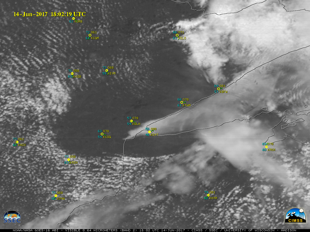
Rapid convective development over Illinois and Wisconsin
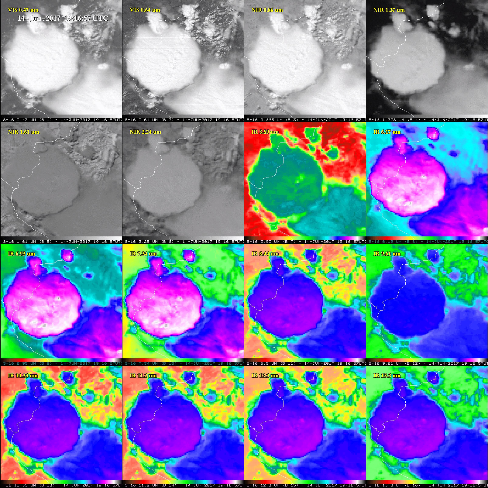
** GOES-16 data posted on this page are preliminary, non-operational data and are undergoing testing **1-minute interval Mesoscale Sector GOES-16 Visible (0.64 µm) and Infrared Window (10.3 µm) images (above) showed the rapid development of convection across northern Illinois and southern Wisconsin on 14 June 2017. SPC storm reports indicated that these storms produced widespread hail, damaging... Read More